11250 N Meridian Rd Peyton, CO 80831
Estimated Value: $788,000 - $1,140,000
4
Beds
4
Baths
2,815
Sq Ft
$348/Sq Ft
Est. Value
About This Home
This home is located at 11250 N Meridian Rd, Peyton, CO 80831 and is currently estimated at $979,676, approximately $348 per square foot. 11250 N Meridian Rd is a home located in El Paso County with nearby schools including Bennett Ranch Elementary School, Falcon Middle School, and Falcon High School.
Ownership History
Date
Name
Owned For
Owner Type
Purchase Details
Closed on
Nov 28, 2022
Sold by
Pring Rick A
Bought by
Pring Family Living Trust
Current Estimated Value
Purchase Details
Closed on
Feb 23, 1998
Sold by
Pring Rick A and Pring Michele M
Bought by
Pring Rick A and Pring Michele M
Home Financials for this Owner
Home Financials are based on the most recent Mortgage that was taken out on this home.
Original Mortgage
$180,000
Interest Rate
6.91%
Create a Home Valuation Report for This Property
The Home Valuation Report is an in-depth analysis detailing your home's value as well as a comparison with similar homes in the area
Home Values in the Area
Average Home Value in this Area
Purchase History
| Date | Buyer | Sale Price | Title Company |
|---|---|---|---|
| Pring Family Living Trust | -- | -- | |
| Pring Rick A | -- | Security Title |
Source: Public Records
Mortgage History
| Date | Status | Borrower | Loan Amount |
|---|---|---|---|
| Previous Owner | Pring Rick A | $180,000 |
Source: Public Records
Tax History
| Year | Tax Paid | Tax Assessment Tax Assessment Total Assessment is a certain percentage of the fair market value that is determined by local assessors to be the total taxable value of land and additions on the property. | Land | Improvement |
|---|---|---|---|---|
| 2025 | $3,915 | $61,110 | -- | -- |
| 2024 | $3,798 | $58,560 | $19,350 | $39,210 |
| 2023 | $3,798 | $58,560 | $19,350 | $39,210 |
| 2022 | $2,834 | $40,820 | $14,950 | $25,870 |
| 2021 | $2,948 | $42,000 | $15,380 | $26,620 |
| 2020 | $2,457 | $34,850 | $13,440 | $21,410 |
| 2019 | $2,435 | $34,850 | $13,440 | $21,410 |
| 2018 | $2,131 | $29,980 | $10,890 | $19,090 |
| 2017 | $1,952 | $29,980 | $10,890 | $19,090 |
| 2016 | $2,038 | $30,890 | $12,050 | $18,840 |
| 2015 | $2,040 | $30,890 | $12,050 | $18,840 |
| 2014 | $2,086 | $31,000 | $12,260 | $18,740 |
Source: Public Records
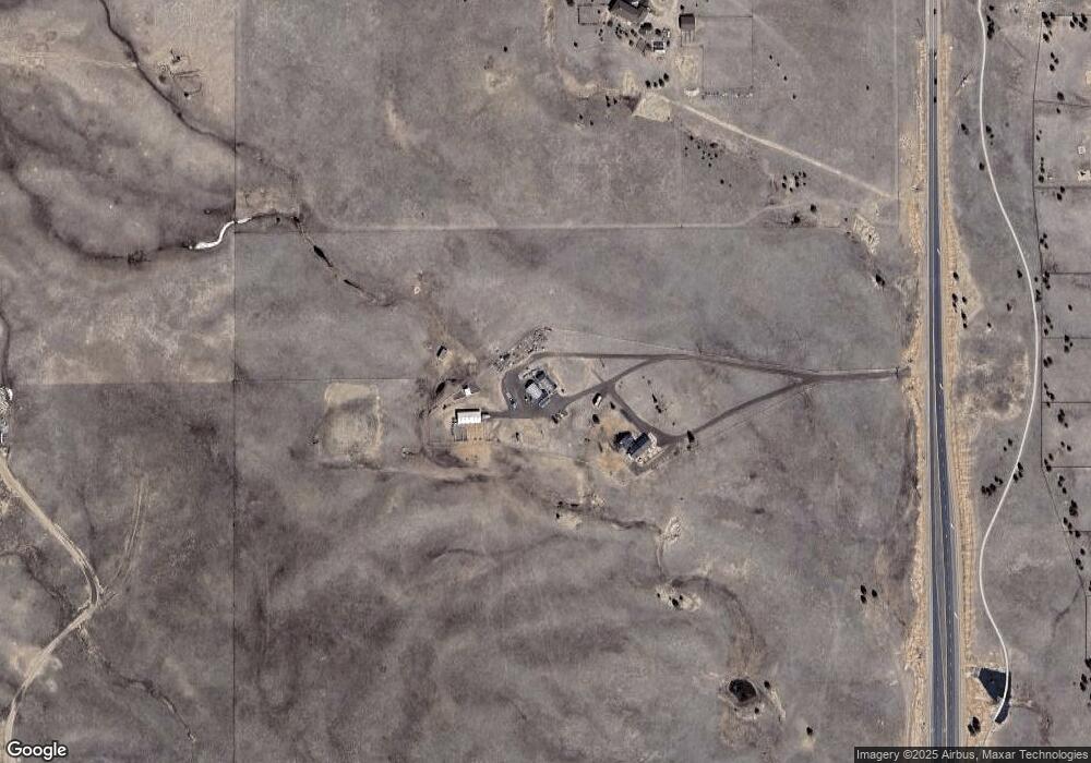
Map
Nearby Homes
- 10803 Greenbelt Dr
- 12150 Fox Brush Dr
- 10952 Torreys Peak Way
- 10932 Huron Peak Place
- 12705 Angelina Dr
- 10467 Pictured Rocks Dr
- 10952 Checo Way
- 12320 Grand Teton Dr
- 10488 Cedar Breaks Dr
- 0 Goodson Rd
- 10489 Cedar Breaks Dr
- 11674 Allendale Dr
- 10429 Cedar Breaks Dr
- 10603 Ross Lake Dr
- 12027 Norma Kate Ln
- 11955 Sir Galahad Dr
- 12534 Angelina Dr
- 12692 Clark Peak Ct
- 11232 Allendale Dr
- 10476 Ross Lake Dr
- 11585 Rex Rd
- 11625 Rex Rd
- 11535 Rex Rd
- 11685 Rex Rd
- 11715 Rex Rd
- 10730 Squawbush Loop
- 10845 Indian Paint Trail
- 10865 Indian Paint Trail
- 10750 Squawbush Loop
- 10735 Squawbush Loop
- 10825 Indian Paint Trail
- 10755 Squawbush Loop
- 10745 Squawbush Loop
- 10820 Indian Paint Trail
- 10890 Indian Paint Trail
- 17095 Indian Paint Trail
- 10765 Indian Paint Trail
- 10967 Klondike Dr
- 10790 Indian Paint Trail
- 11945 Black Hills Dr
Your Personal Tour Guide
Ask me questions while you tour the home.