11251 E 550 N Grovertown, IN 46531
Estimated Value: $314,000 - $425,000
3
Beds
3
Baths
3,136
Sq Ft
$116/Sq Ft
Est. Value
About This Home
This home is located at 11251 E 550 N, Grovertown, IN 46531 and is currently estimated at $364,199, approximately $116 per square foot. 11251 E 550 N is a home with nearby schools including Oregon-Davis Elementary School and Oregon-Davis Junior/Senior High School.
Ownership History
Date
Name
Owned For
Owner Type
Purchase Details
Closed on
May 9, 2014
Sold by
Noble David and Noble Amy
Bought by
Noble David
Current Estimated Value
Home Financials for this Owner
Home Financials are based on the most recent Mortgage that was taken out on this home.
Original Mortgage
$159,200
Outstanding Balance
$121,340
Interest Rate
4.41%
Mortgage Type
New Conventional
Estimated Equity
$242,859
Purchase Details
Closed on
Jul 14, 2011
Sold by
Flaugher William L and Flaugher Alice D
Bought by
Noble David and Noble Amy
Create a Home Valuation Report for This Property
The Home Valuation Report is an in-depth analysis detailing your home's value as well as a comparison with similar homes in the area
Home Values in the Area
Average Home Value in this Area
Purchase History
| Date | Buyer | Sale Price | Title Company |
|---|---|---|---|
| Noble David | -- | Meridian Title Corp | |
| Noble David | $9,200 | Meridian Title Corporation | |
| Noble David | -- | Meridian Title Corp |
Source: Public Records
Mortgage History
| Date | Status | Borrower | Loan Amount |
|---|---|---|---|
| Open | Noble David | $159,200 |
Source: Public Records
Tax History Compared to Growth
Tax History
| Year | Tax Paid | Tax Assessment Tax Assessment Total Assessment is a certain percentage of the fair market value that is determined by local assessors to be the total taxable value of land and additions on the property. | Land | Improvement |
|---|---|---|---|---|
| 2024 | $1,995 | $266,100 | $22,500 | $243,600 |
| 2023 | $1,900 | $243,600 | $20,400 | $223,200 |
| 2022 | $1,926 | $221,700 | $18,200 | $203,500 |
| 2021 | $1,861 | $189,200 | $18,000 | $171,200 |
| 2020 | $1,776 | $177,300 | $18,000 | $159,300 |
| 2019 | $1,722 | $176,200 | $17,700 | $158,500 |
| 2018 | $1,615 | $170,300 | $16,900 | $153,400 |
| 2017 | $1,413 | $164,900 | $16,400 | $148,500 |
| 2016 | $1,375 | $164,300 | $16,400 | $147,900 |
| 2014 | $1,117 | $157,800 | $16,400 | $141,400 |
| 2013 | $865 | $137,000 | $16,400 | $120,600 |
Source: Public Records
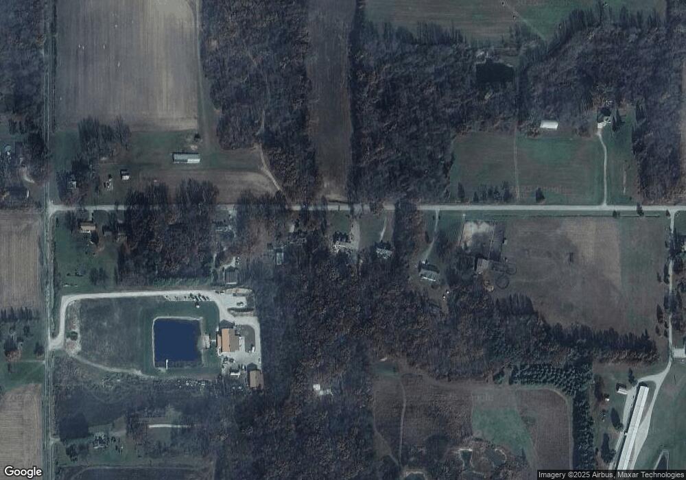
Map
Nearby Homes
- TBD E 550 N
- TBD 500 N
- 11538 E 400 N
- TBD Beech Ave
- 20510 W 8th Rd
- Lot 10 Shipping Lane Dr W
- 20906 S Lake Dr
- 00 S Lake Dr
- TBD S Lake Dr
- 11985 E South St
- 20782 S Lake Dr
- 10959 E Tippecanoe Dr
- 7640 Indiana 23
- 7685 N Tecumseh Rd
- 7640 Union Rd
- 11045 E Iroquois Rd
- 3935 N 950 E
- 7783 N Tippecanoe Dr
- 7733 N Meadow Ln
- 20973 N Lake Dr