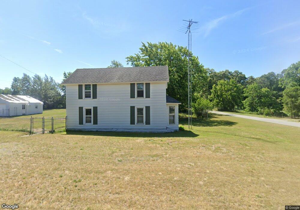
11253 3rd St Fair Oaks, IN 47943
Union-Jasper Co NeighborhoodEstimated Value: $176,000 - $278,000
3
Beds
1
Bath
2,386
Sq Ft
$87/Sq Ft
Est. Value
About This Home
This home is located at 11253 3rd St, Fair Oaks, IN 47943 and is currently estimated at $208,618, approximately $87 per square foot. 11253 3rd St is a home with nearby schools including Kankakee Valley High School.
Ownership History
Date
Name
Owned For
Owner Type
Purchase Details
Closed on
Aug 5, 2021
Sold by
Coffer Kevin G
Bought by
Coffer Kevin G and Coffer Becky
Current Estimated Value
Home Financials for this Owner
Home Financials are based on the most recent Mortgage that was taken out on this home.
Original Mortgage
$96,000
Outstanding Balance
$72,918
Interest Rate
2.2%
Mortgage Type
New Conventional
Estimated Equity
$135,700
Create a Home Valuation Report for This Property
The Home Valuation Report is an in-depth analysis detailing your home's value as well as a comparison with similar homes in the area
Home Values in the Area
Average Home Value in this Area
Purchase History
| Date | Buyer | Sale Price | Title Company |
|---|---|---|---|
| Coffer Kevin G | -- | None Listed On Document |
Source: Public Records
Mortgage History
| Date | Status | Borrower | Loan Amount |
|---|---|---|---|
| Open | Coffer Kevin G | $96,000 |
Source: Public Records
Tax History Compared to Growth
Tax History
| Year | Tax Paid | Tax Assessment Tax Assessment Total Assessment is a certain percentage of the fair market value that is determined by local assessors to be the total taxable value of land and additions on the property. | Land | Improvement |
|---|---|---|---|---|
| 2024 | $489 | $130,300 | $18,300 | $112,000 |
| 2023 | $405 | $120,100 | $18,300 | $101,800 |
| 2022 | $387 | $107,000 | $16,700 | $90,300 |
| 2021 | $314 | $97,200 | $12,500 | $84,700 |
| 2020 | $331 | $95,700 | $12,500 | $83,200 |
| 2019 | $300 | $92,300 | $12,500 | $79,800 |
| 2018 | $296 | $92,300 | $12,500 | $79,800 |
| 2017 | $275 | $91,500 | $12,500 | $79,000 |
| 2016 | $268 | $91,200 | $12,500 | $78,700 |
| 2014 | $216 | $89,600 | $12,500 | $77,100 |
Source: Public Records
Map
Nearby Homes
- 4345 5th St
- 6301 N 500 E
- 29.029 Acres E 900 N
- 8718 W State Road 14
- 8351 Indiana 55
- 8291 Indiana 55
- 8221 Indiana 55
- 8165 Indiana 55
- 9062 Pheasant Trace Dr W
- N 408 East
- 4092 Ethel St E
- 5826 E 1042 N
- 4048 E Craig St
- 10307 N 477 E
- 9321 W 950 N
- 10446 N 500 E
- 10447 N 477 E
- 4545 E 1040 N
- 10792 N 600 E
- 5797 W 600 N
- Lot 2 Carrol St
- Lot 1 Carrol St
- 11235 3rd St
- 4239 Carrol St
- 4260 Carroll St
- 4296 Hendricks St
- 4276 Hendricks St
- 4338 Hendricks St
- 4260 Carrol St
- 11238 3rd St
- 11214 2nd St
- 4212 Carrol St
- 4277 Carrol St
- 4190 Carrol St
- 11328 Alexander St
- 4270 Carrol St
- 11186 2nd St
- 4339 Hendricks St
- 4341 Hendricks St
- 4216 Hendricks St