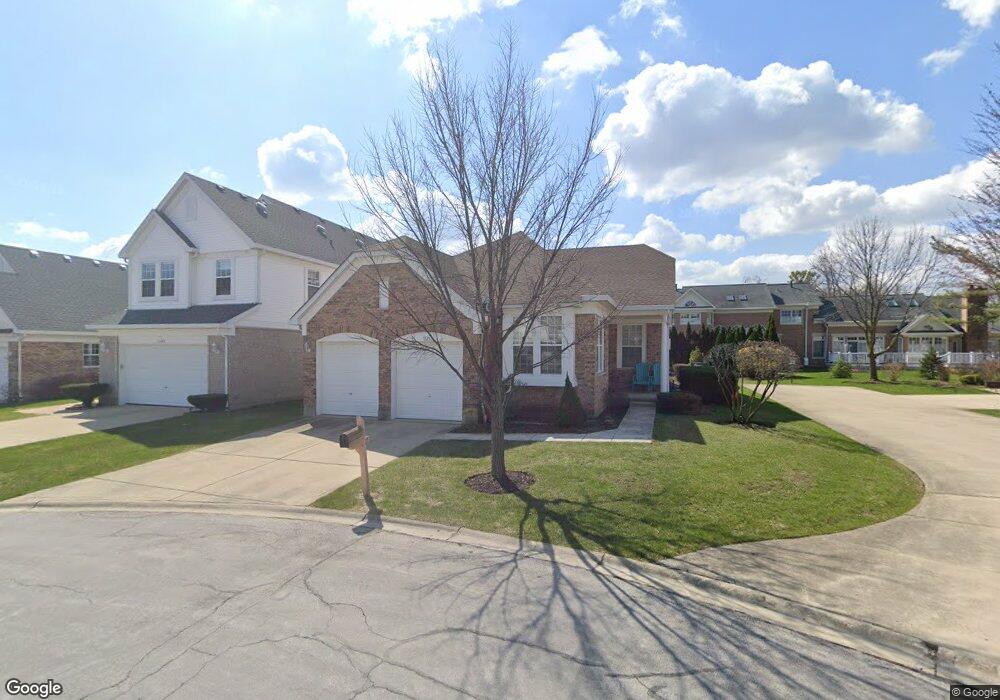
11253 Summerdale St Westchester, IL 60154
Estimated Value: $453,086 - $509,000
2
Beds
2
Baths
1,579
Sq Ft
$299/Sq Ft
Est. Value
About This Home
This home is located at 11253 Summerdale St, Westchester, IL 60154 and is currently estimated at $472,772, approximately $299 per square foot. 11253 Summerdale St is a home located in Cook County with nearby schools including Hillside Elementary School, Proviso West High School, and Immanuel Christian Academy.
Ownership History
Date
Name
Owned For
Owner Type
Purchase Details
Closed on
Aug 22, 2013
Sold by
Enthof Ruthann
Bought by
Enthof Ruthann and Ruthann Enthof Trust
Current Estimated Value
Purchase Details
Closed on
Apr 14, 2000
Sold by
Parello Jerome
Bought by
Enthof Ruthann
Purchase Details
Closed on
Apr 28, 1998
Sold by
Pinnacle Corp
Bought by
Parello Frnak J and Parello Jerome
Create a Home Valuation Report for This Property
The Home Valuation Report is an in-depth analysis detailing your home's value as well as a comparison with similar homes in the area
Home Values in the Area
Average Home Value in this Area
Purchase History
| Date | Buyer | Sale Price | Title Company |
|---|---|---|---|
| Enthof Ruthann | -- | None Available | |
| Enthof Ruthann | $325,000 | Prairie Title | |
| Parello Frnak J | $327,500 | -- |
Source: Public Records
Tax History Compared to Growth
Tax History
| Year | Tax Paid | Tax Assessment Tax Assessment Total Assessment is a certain percentage of the fair market value that is determined by local assessors to be the total taxable value of land and additions on the property. | Land | Improvement |
|---|---|---|---|---|
| 2024 | $7,785 | $37,000 | $10,308 | $26,692 |
| 2023 | $8,089 | $37,000 | $10,308 | $26,692 |
| 2022 | $8,089 | $35,759 | $8,353 | $27,406 |
| 2021 | $7,822 | $35,759 | $8,353 | $27,406 |
| 2020 | $8,450 | $35,759 | $8,353 | $27,406 |
| 2019 | $8,899 | $38,145 | $7,642 | $30,503 |
| 2018 | $8,771 | $38,145 | $7,642 | $30,503 |
| 2017 | $8,663 | $38,145 | $7,642 | $30,503 |
| 2016 | $8,353 | $34,366 | $6,931 | $27,435 |
| 2015 | $8,190 | $34,366 | $6,931 | $27,435 |
| 2014 | $8,005 | $34,366 | $6,931 | $27,435 |
| 2013 | $8,267 | $38,036 | $6,931 | $31,105 |
Source: Public Records
Map
Nearby Homes
- 11449 Prescott Ln
- 11513 Enterprise Dr
- 11140 Windsor Dr
- 2550 Camberley Cir Unit 5-810
- 16 Princess Ct Unit 16
- 10916 Kingston St
- 2228 High Ridge Pkwy
- 2130 Mandel Ave
- 11148 Shelley St
- 11157 Shaw St
- 1948 Boeger Ave
- 2925 Denton Ct
- 2401 Mayfair Ave
- 1847 Boeger Ave
- 2337 Kensington Ave
- 2230 Kensington Ave
- 2205 Mayfair Ave
- 37 Sheffield Ln
- 10610 Essex St
- 2610 Sunnyside Ave
- 11245 Summerdale St
- 2452 Meadowbrook Ln
- 2448 Meadowbrook Ln
- 11316 W Monticello Place
- 11312 W Monticello Place
- 2444 Meadowbrook Ln
- 11320 W Monticello Place
- 11241 Summerdale St
- 11308 W Monticello Place
- 2440 Meadowbrook Ln
- 2441 Meadowbrook Ln
- 11324 W Monticello Place
- 11237 Summerdale St
- 11304 W Monticello Place
- 2436 Meadowbrook Ln
- 2437 Meadowbrook Ln
- 2449 Sweetbriar Ln
- 2453 Sweetbriar Ln
- 11328 W Monticello Place
- 2445 Sweetbriar Ln