112569 S 4710 Rd Muldrow, OK 74948
Estimated Value: $187,000 - $268,000
3
Beds
2
Baths
2,144
Sq Ft
$106/Sq Ft
Est. Value
About This Home
This home is located at 112569 S 4710 Rd, Muldrow, OK 74948 and is currently estimated at $226,485, approximately $105 per square foot. 112569 S 4710 Rd is a home located in Sequoyah County with nearby schools including Muldrow Elementary School, Muldrow Middle School, and Muldrow High School.
Ownership History
Date
Name
Owned For
Owner Type
Purchase Details
Closed on
Mar 31, 2017
Sold by
Means Jaquetta and Means Misty Dawn
Bought by
Means Wesley Wayne
Current Estimated Value
Purchase Details
Closed on
Jan 24, 2003
Sold by
Means Richard and Means Anita
Bought by
Means Wesley and Means Misty
Create a Home Valuation Report for This Property
The Home Valuation Report is an in-depth analysis detailing your home's value as well as a comparison with similar homes in the area
Home Values in the Area
Average Home Value in this Area
Purchase History
| Date | Buyer | Sale Price | Title Company |
|---|---|---|---|
| Means Wesley Wayne | -- | None Available | |
| Means Wesley | -- | -- |
Source: Public Records
Tax History Compared to Growth
Tax History
| Year | Tax Paid | Tax Assessment Tax Assessment Total Assessment is a certain percentage of the fair market value that is determined by local assessors to be the total taxable value of land and additions on the property. | Land | Improvement |
|---|---|---|---|---|
| 2024 | $376 | $6,113 | $923 | $5,190 |
| 2023 | $363 | $5,936 | $911 | $5,025 |
| 2022 | $338 | $5,763 | $896 | $4,867 |
| 2021 | $327 | $5,764 | $892 | $4,872 |
| 2020 | $315 | $5,433 | $836 | $4,597 |
| 2019 | $304 | $5,274 | $811 | $4,463 |
| 2018 | $293 | $5,120 | $761 | $4,359 |
| 2017 | $282 | $4,972 | $714 | $4,258 |
| 2016 | $272 | $4,828 | $672 | $4,156 |
| 2015 | $262 | $4,686 | $631 | $4,055 |
| 2014 | $252 | $4,550 | $602 | $3,948 |
Source: Public Records
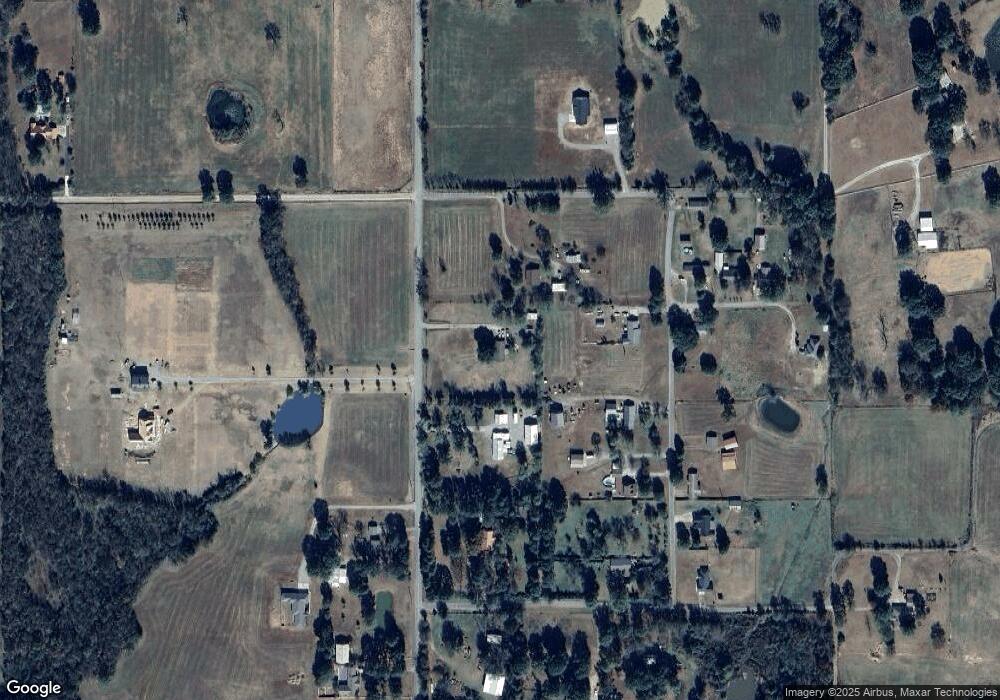
Map
Nearby Homes
- Tract 1 S 4757 Rd
- TBD Shawntel Smith Blvd
- TBD 4666 Rd
- Tract 2 S 4757 Rd
- Lot 33 Whispering Winds
- TBD S 4750
- TBD 4758 Rd
- TBD E 1090 Rd
- Tbd 1160 Rd
- 472226 E 1086 Rd
- 470786 E 1121 Rd
- TBD Treat Dr
- 474366 E 1040 Rd
- 0 1120 Rd Unit 2541242
- 0 1120 Rd Unit 2541237
- 111024 S 4710 Rd
- 470511 E 1110 Rd
- 716 Varner Dr
- 416 Deer Run Rd
- 410 Deer Run Rd
- 112631 S 4710 Rd
- 112632 S 4712 Rd
- 112670 S 4712 Rd
- 471039 E 1127 Rd
- 471238 E 1126 Rd
- 112535 S 4712 Rd
- 471113 E 1127 Rd
- 471257 E 1126 Rd
- 112699 S 4712 Rd
- 471163 E 1127 Rd
- 471238 E 1026 Rd
- 12772 S 4710 Rd
- 112698 S 4710 Rd
- 471104 E 1127 Rd
- 112774 S 4710 Rd
- 112300 S 4710 Rd
- 470801 E 1125 Rd
- 471235 E 1125 Rd
- 471048 E 1125 Rd
- 471296 E 1127 Rd