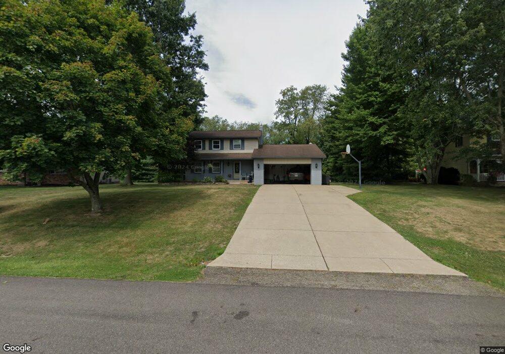
11257 Sarahann Ave NW Uniontown, OH 44685
Estimated Value: $288,390 - $344,000
3
Beds
3
Baths
1,824
Sq Ft
$172/Sq Ft
Est. Value
About This Home
This home is located at 11257 Sarahann Ave NW, Uniontown, OH 44685 and is currently estimated at $314,098, approximately $172 per square foot. 11257 Sarahann Ave NW is a home located in Stark County with nearby schools including Lake Middle/High School and Lake Center Christian School.
Ownership History
Date
Name
Owned For
Owner Type
Purchase Details
Closed on
Jan 24, 2022
Sold by
Given Not
Bought by
Cain David E and Cain Jennifer L
Current Estimated Value
Purchase Details
Closed on
Jan 12, 2022
Sold by
Given Not
Bought by
Cain David E and Cain Jennifer L
Purchase Details
Closed on
Apr 23, 2009
Sold by
Cain David E and Cain Jennifer L
Bought by
Cain David E and Cain Jennifer L
Create a Home Valuation Report for This Property
The Home Valuation Report is an in-depth analysis detailing your home's value as well as a comparison with similar homes in the area
Home Values in the Area
Average Home Value in this Area
Purchase History
| Date | Buyer | Sale Price | Title Company |
|---|---|---|---|
| Cain David E | -- | -- | |
| Cain David E | -- | -- | |
| Cain David E | -- | Attorney |
Source: Public Records
Tax History Compared to Growth
Tax History
| Year | Tax Paid | Tax Assessment Tax Assessment Total Assessment is a certain percentage of the fair market value that is determined by local assessors to be the total taxable value of land and additions on the property. | Land | Improvement |
|---|---|---|---|---|
| 2025 | $1,692 | $97,760 | $18,410 | $79,350 |
| 2024 | -- | $97,760 | $18,410 | $79,350 |
| 2023 | $4,373 | $61,260 | $14,110 | $47,150 |
| 2022 | $3,132 | $61,260 | $14,110 | $47,150 |
| 2021 | $3,166 | $61,260 | $14,110 | $47,150 |
| 2020 | $2,990 | $51,700 | $12,150 | $39,550 |
| 2019 | $2,966 | $51,040 | $12,150 | $38,890 |
| 2018 | $2,931 | $51,040 | $12,150 | $38,890 |
| 2017 | $2,846 | $45,860 | $10,820 | $35,040 |
| 2016 | $2,852 | $45,860 | $10,820 | $35,040 |
| 2015 | $2,851 | $45,860 | $10,820 | $35,040 |
| 2014 | $629 | $43,480 | $10,260 | $33,220 |
| 2013 | $1,315 | $43,480 | $10,260 | $33,220 |
Source: Public Records
Map
Nearby Homes
- 1037 Canyon St NE
- 12055 King Church Ave NW
- 786 Fair Vista Cir SW
- 531 Gentlebrook Blvd SW
- 778 Fair Vista Cir SW
- 12201 King Church Ave NW
- 747 Grandview Cir
- 525 Gentlebrook Blvd SW
- 550 Woodlands Glen Ave
- 1771 Midway St NW
- 510 Meadow Cir SW Unit 11
- 11900 Geib Ave NE
- 11121 Geib Ave NE
- Unit 9 Meadow Trail SW Unit 9
- 425 Tonawanda Trail SW
- 2084 Hazel St NE
- 225 Seneca Trail SW
- 1180 Tessa Trail Unit 1180
- 1975 Eloise Cir NE
- 1702 Gulf St NW
- 11245 Sarahann Ave NW
- 11275 Sarahann Ave NW
- 11291 Sarahann Ave NW
- 11211 Sarahann Ave NW
- 1097 Shelview Cir NW
- 11276 Sarahann Ave NW
- 11191 Sarahann Ave NW
- 1080 Tumbleweed St NW
- 1096 Shelview Cir NW
- 1096 Tumbleweed St NW
- 11298 Sarahann Ave NW
- 1087 Shelview Cir NW
- 11181 Sarahann Ave NW
- 1102 Tumbleweed St NW
- 1068 Shelview Cir NW
- 11192 Sarahann Ave NW
- 11180 Sarahann Ave NW
- 1077 Shelview Cir NW
- 1075 Tumbleweed St NW
- 1101 Tumbleweed St NW