Estimated Value: $360,137 - $385,000
2
Beds
4
Baths
1,160
Sq Ft
$325/Sq Ft
Est. Value
About This Home
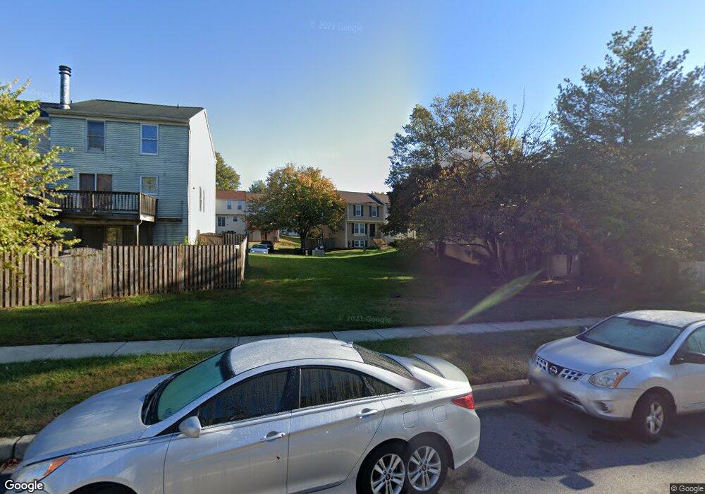
This home is located at 11257 Westport Dr, Bowie, MD 20720 and is currently estimated at $377,284, approximately $325 per square foot. 11257 Westport Dr is a home located in Prince George's County with nearby schools including Woodmore Elementary School, Thomas Johnson Middle School, and Duval High School.
Ownership History
Date
Name
Owned For
Owner Type
Purchase Details
Closed on
Sep 23, 2011
Sold by
Winns Tasha
Bought by
Johnson Shamala
Current Estimated Value
Home Financials for this Owner
Home Financials are based on the most recent Mortgage that was taken out on this home.
Original Mortgage
$165,185
Outstanding Balance
$115,730
Interest Rate
4.75%
Mortgage Type
FHA
Estimated Equity
$261,554
Purchase Details
Closed on
Aug 13, 1997
Sold by
Faw Rex A
Bought by
Jefferson Tamara D
Purchase Details
Closed on
Apr 4, 1989
Sold by
Ball Thomas S
Bought by
Faw Rex A and Chris Lowery
Create a Home Valuation Report for This Property
The Home Valuation Report is an in-depth analysis detailing your home's value as well as a comparison with similar homes in the area
Home Values in the Area
Average Home Value in this Area
Purchase History
| Date | Buyer | Sale Price | Title Company |
|---|---|---|---|
| Johnson Shamala | $169,500 | None Available | |
| Jefferson Tamara D | $106,000 | -- | |
| Faw Rex A | $109,000 | -- |
Source: Public Records
Mortgage History
| Date | Status | Borrower | Loan Amount |
|---|---|---|---|
| Open | Johnson Shamala | $165,185 |
Source: Public Records
Tax History Compared to Growth
Tax History
| Year | Tax Paid | Tax Assessment Tax Assessment Total Assessment is a certain percentage of the fair market value that is determined by local assessors to be the total taxable value of land and additions on the property. | Land | Improvement |
|---|---|---|---|---|
| 2025 | $4,629 | $315,800 | -- | -- |
| 2024 | $4,629 | $285,200 | $0 | $0 |
| 2023 | $4,173 | $254,600 | $60,000 | $194,600 |
| 2022 | $4,031 | $245,067 | $0 | $0 |
| 2021 | $3,889 | $235,533 | $0 | $0 |
| 2020 | $3,748 | $226,000 | $60,000 | $166,000 |
| 2019 | $3,584 | $214,967 | $0 | $0 |
| 2018 | $3,420 | $203,933 | $0 | $0 |
| 2017 | $3,256 | $192,900 | $0 | $0 |
| 2016 | -- | $179,367 | $0 | $0 |
| 2015 | $3,363 | $165,833 | $0 | $0 |
| 2014 | $3,363 | $152,300 | $0 | $0 |
Source: Public Records
Map
Nearby Homes
- 11108 Elon Ct
- 4634 Deepwood Ct
- 4657 Deepwood Ct
- 10907 Atwell Ave
- 4213 Glenn Dale Rd
- 4811 Lake Ontario Way
- 11308 Chantilly Ln
- 11400 Chantilly Ln
- 11500 Chantilly Ln
- 4615 Morning Glory Trail
- 4802 Grid St
- 4404 Windflower Way
- 4900 Lisborough Terrace
- 4705 Enterprise Rd
- 5203 Ashleigh Glen Ct
- 10404 Glen Spring Ln
- 12120 American Chestnut Rd
- 10906 Bell Rd
- 10811 Electric Ave
- 0 Bell (Total of Five (5) Lots) Rd Unit MDPG2150980
- 11255 Westport Dr
- 11251 Westport Dr
- 11254 Westport Dr
- 11256 Westport Dr
- 11249 Westport Dr
- 11239 Westport Dr
- 11241 Westport Dr
- 4308 Rockport Ln
- 11258 Westport Dr
- 11243 Westport Dr
- 11245 Westport Dr
- 11237 Westport Dr
- 4306 Rockport Ln
- 11247 Westport Dr
- 11235 Westport Dr
- 4304 Rockport Ln
- 11262 Westport Dr
- 11233 Westport Dr
- 4302 Rockport Ln
- 11231 Westport Dr