11259 Heathrow Ave Spring Hill, FL 34609
Estimated Value: $278,000 - $350,000
3
Beds
2
Baths
1,981
Sq Ft
$158/Sq Ft
Est. Value
About This Home
This home is located at 11259 Heathrow Ave, Spring Hill, FL 34609 and is currently estimated at $312,718, approximately $157 per square foot. 11259 Heathrow Ave is a home located in Hernando County with nearby schools including Suncoast Elementary School, Powell Middle School, and Frank W. Springstead High School.
Ownership History
Date
Name
Owned For
Owner Type
Purchase Details
Closed on
May 8, 2023
Sold by
Burns Josephine
Bought by
Silberer Francine
Current Estimated Value
Purchase Details
Closed on
Feb 13, 2023
Sold by
Burns Patrick J
Bought by
Silber Francine
Purchase Details
Closed on
Jan 22, 2002
Sold by
Ryland Com Inc
Bought by
Burns Patrick J and Burns Josephine G
Home Financials for this Owner
Home Financials are based on the most recent Mortgage that was taken out on this home.
Original Mortgage
$130,000
Interest Rate
7.14%
Mortgage Type
Purchase Money Mortgage
Create a Home Valuation Report for This Property
The Home Valuation Report is an in-depth analysis detailing your home's value as well as a comparison with similar homes in the area
Home Values in the Area
Average Home Value in this Area
Purchase History
| Date | Buyer | Sale Price | Title Company |
|---|---|---|---|
| Silberer Francine | $100 | None Listed On Document | |
| Silber Francine | $100 | -- | |
| Burns Patrick J | $163,700 | -- |
Source: Public Records
Mortgage History
| Date | Status | Borrower | Loan Amount |
|---|---|---|---|
| Previous Owner | Burns Patrick J | $130,000 |
Source: Public Records
Tax History
| Year | Tax Paid | Tax Assessment Tax Assessment Total Assessment is a certain percentage of the fair market value that is determined by local assessors to be the total taxable value of land and additions on the property. | Land | Improvement |
|---|---|---|---|---|
| 2025 | $2,344 | $156,148 | -- | -- |
| 2024 | $2,247 | $151,747 | -- | -- |
| 2023 | $2,247 | $147,327 | $0 | $0 |
| 2022 | $2,156 | $143,036 | $0 | $0 |
| 2021 | $2,152 | $138,870 | $0 | $0 |
| 2020 | $2,009 | $136,953 | $0 | $0 |
| 2019 | $2,006 | $133,874 | $0 | $0 |
| 2018 | $1,409 | $131,378 | $0 | $0 |
| 2017 | $1,676 | $128,676 | $0 | $0 |
| 2016 | $1,621 | $126,029 | $0 | $0 |
| 2015 | $1,632 | $125,153 | $0 | $0 |
| 2014 | $1,582 | $124,160 | $0 | $0 |
Source: Public Records
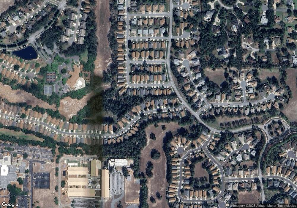
Map
Nearby Homes
- 11261 McRacken Dr
- 371 Quane Ave
- 11330 Leeds Dr
- 232 Center Oak Cir
- 0 Centerwood Ave Unit MFRTB8450965
- 11343 Leeds Dr
- 11158 Heathrow Ave
- 320 Mcintosh Ct
- 114 Center Oak Cir
- 453 Candlestone Ct
- 402 & 406 Candlestone Ct
- 401 & 405 Candlestone Ct
- 449 Candlestone Ct
- 432 Mistwood Ct
- 11323 Highlander Ct
- 11121 Cherrywood Ct
- 412 Mistwood Ct
- 11420 Chalk Farm Rd
- 11078 Heathrow Ave
- 11075 Heathrow Ave
- 11263 Heathrow Ave
- 11255 Heathrow Ave
- 11267 Heathrow Ave
- 11251 Heathrow Ave
- 299 Quane Ave
- 295 Quane Ave
- 303 Quane Ave
- 11271 Heathrow Ave
- 11247 Heathrow Ave
- 11258 Heathrow Ave
- 291 Quane Ave
- 307 Quane Ave
- 11250 Heathrow Ave
- 11264 Heathrow Ave
- 11268 Heathrow Ave
- 11275 Heathrow Ave
- 311 Quane Ave
- 11246 Heathrow Ave
- 11243 Heathrow Ave
- 11272 Heathrow Ave