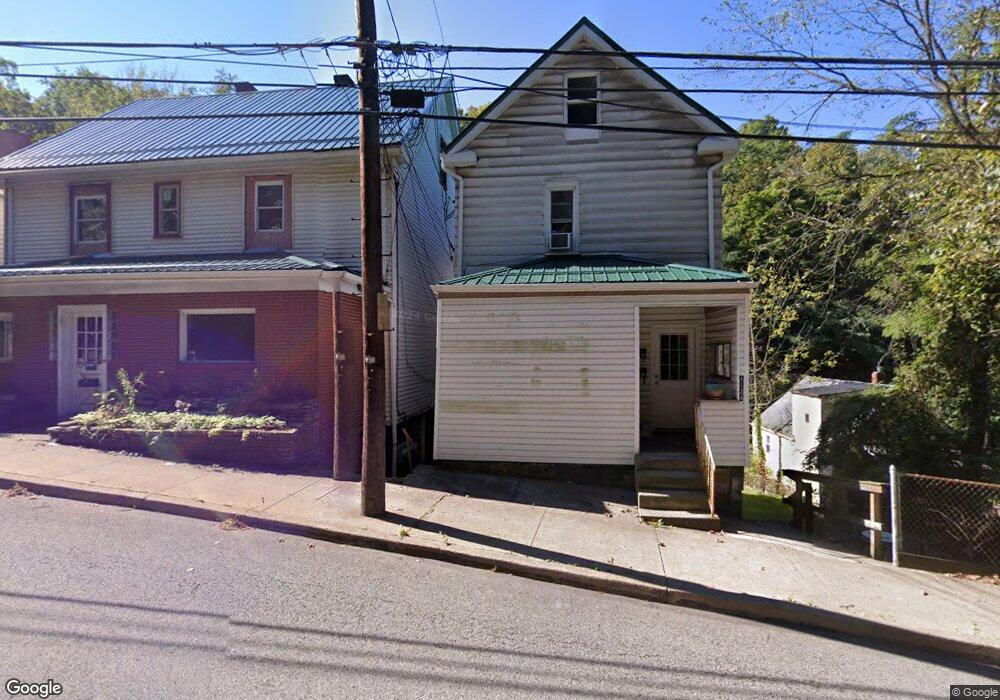
1126 7th St New Kensington, PA 15068
Estimated Value: $53,125 - $158,000
--
Bed
--
Bath
--
Sq Ft
4,269
Sq Ft Lot
About This Home
This home is located at 1126 7th St, New Kensington, PA 15068 and is currently estimated at $115,531. 1126 7th St is a home located in Westmoreland County with nearby schools including Mary Queen of Apostles School.
Ownership History
Date
Name
Owned For
Owner Type
Purchase Details
Closed on
Jun 7, 2019
Sold by
Sweet Properties Lp
Bought by
Heller Joseph
Current Estimated Value
Purchase Details
Closed on
Jun 27, 2007
Sold by
Ledonne Joseph and Ledonne Caitlain B
Bought by
Sweet Properties Lp
Home Financials for this Owner
Home Financials are based on the most recent Mortgage that was taken out on this home.
Original Mortgage
$36,000
Interest Rate
6.48%
Mortgage Type
Purchase Money Mortgage
Purchase Details
Closed on
Oct 14, 2005
Sold by
Litz Genevieve M
Bought by
Ledonne Joseph
Purchase Details
Closed on
Aug 21, 2001
Sold by
Litz Charles B and Litz Genevieve M
Bought by
The Charles B & Genevieve M Litz Revocab
Create a Home Valuation Report for This Property
The Home Valuation Report is an in-depth analysis detailing your home's value as well as a comparison with similar homes in the area
Home Values in the Area
Average Home Value in this Area
Purchase History
| Date | Buyer | Sale Price | Title Company |
|---|---|---|---|
| Heller Joseph | $20,000 | Dornish Settlement Svcs Llc | |
| Sweet Properties Lp | $68,697 | None Available | |
| Ledonne Joseph | $27,000 | -- | |
| The Charles B & Genevieve M Litz Revocab | -- | -- |
Source: Public Records
Mortgage History
| Date | Status | Borrower | Loan Amount |
|---|---|---|---|
| Previous Owner | Sweet Properties Lp | $36,000 |
Source: Public Records
Tax History Compared to Growth
Tax History
| Year | Tax Paid | Tax Assessment Tax Assessment Total Assessment is a certain percentage of the fair market value that is determined by local assessors to be the total taxable value of land and additions on the property. | Land | Improvement |
|---|---|---|---|---|
| 2025 | $2,150 | $13,470 | $2,160 | $11,310 |
| 2024 | $2,130 | $13,470 | $2,160 | $11,310 |
| 2023 | $2,016 | $13,470 | $2,160 | $11,310 |
| 2022 | $1,954 | $13,470 | $2,160 | $11,310 |
| 2021 | $1,910 | $13,470 | $2,160 | $11,310 |
| 2020 | $1,870 | $13,470 | $2,160 | $11,310 |
| 2019 | $1,822 | $13,470 | $2,160 | $11,310 |
| 2018 | $1,795 | $13,470 | $2,160 | $11,310 |
| 2017 | $1,768 | $13,470 | $2,160 | $11,310 |
| 2016 | $1,768 | $13,470 | $2,160 | $11,310 |
| 2015 | $1,768 | $13,470 | $2,160 | $11,310 |
| 2014 | $1,699 | $13,470 | $2,160 | $11,310 |
Source: Public Records
Map
Nearby Homes
- Lots 12-14 Ross Ave
- 1117 Forest Ave
- 1725 Pleasant Ave
- 404 Argonne Dr
- 1229 Forest Ave
- 225 Highland Ave
- 1082 Martin Ave
- 1075 Martin Ave
- 357 Keystone Dr
- 359 Pershing Dr
- 159 Freeport Rd
- 168 Short St
- 512 Linden Ave
- 327 Charles Ave
- 254 Ridge Ave
- 486 McCargo St
- 318 Ridge Ave
- 342 Vernon St
- 544 Longvue Dr
- 324 Main St