1126 Lonnie Gentry Rd Roxboro, NC 27574
Estimated Value: $191,000 - $574,000
--
Bed
1
Bath
1,088
Sq Ft
$392/Sq Ft
Est. Value
About This Home
This home is located at 1126 Lonnie Gentry Rd, Roxboro, NC 27574 and is currently estimated at $426,645, approximately $392 per square foot. 1126 Lonnie Gentry Rd is a home located in Person County with nearby schools including Person High School.
Ownership History
Date
Name
Owned For
Owner Type
Purchase Details
Closed on
Dec 6, 2013
Sold by
Poole Jason Dewitt
Bought by
Poole Jason D and Poole Laura B
Current Estimated Value
Home Financials for this Owner
Home Financials are based on the most recent Mortgage that was taken out on this home.
Original Mortgage
$184,200
Outstanding Balance
$137,241
Interest Rate
4.13%
Mortgage Type
New Conventional
Estimated Equity
$289,404
Purchase Details
Closed on
Apr 23, 2012
Sold by
Poole Steve D and Poole Judy H
Bought by
Poole Jason Dewitt
Purchase Details
Closed on
Oct 27, 2010
Sold by
Dickenson Donna Gill and Dickenson John Ian
Bought by
Poole Steve D and Poole Judy H
Create a Home Valuation Report for This Property
The Home Valuation Report is an in-depth analysis detailing your home's value as well as a comparison with similar homes in the area
Home Values in the Area
Average Home Value in this Area
Purchase History
| Date | Buyer | Sale Price | Title Company |
|---|---|---|---|
| Poole Jason D | -- | None Available | |
| Poole Jason Dewitt | -- | None Available | |
| Poole Steve D | $225,000 | -- |
Source: Public Records
Mortgage History
| Date | Status | Borrower | Loan Amount |
|---|---|---|---|
| Open | Poole Jason D | $184,200 | |
| Closed | Poole Steve D | $0 |
Source: Public Records
Tax History Compared to Growth
Tax History
| Year | Tax Paid | Tax Assessment Tax Assessment Total Assessment is a certain percentage of the fair market value that is determined by local assessors to be the total taxable value of land and additions on the property. | Land | Improvement |
|---|---|---|---|---|
| 2025 | $637 | $82,118 | $0 | $0 |
| 2024 | $698 | $77,083 | $0 | $0 |
| 2023 | $700 | $77,083 | $0 | $0 |
| 2022 | $524 | $52,879 | $0 | $0 |
| 2021 | $508 | $52,879 | $0 | $0 |
| 2020 | $477 | $48,314 | $0 | $0 |
| 2019 | $487 | $48,314 | $0 | $0 |
| 2018 | $457 | $48,314 | $0 | $0 |
| 2017 | $466 | $250,215 | $0 | $0 |
| 2016 | $497 | $250,215 | $0 | $0 |
| 2015 | $384 | $250,215 | $0 | $0 |
| 2014 | $359 | $250,215 | $0 | $0 |
Source: Public Records
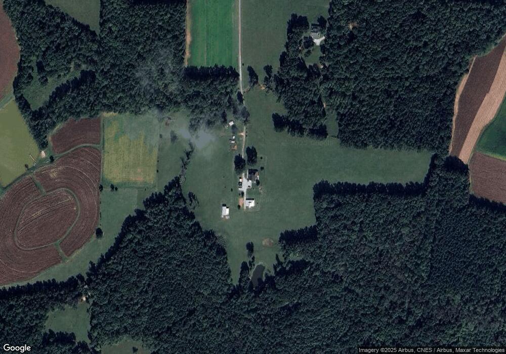
Map
Nearby Homes
- 670 Tingen Mine Rd
- 00 Pulliam-Tingen Mine Rd
- 1002 Dennys Store Rd
- 153 Ninovan Place
- 2201 Mollie Mooney Rd
- 1469 Mollie Mooney Rd
- 204 Deep Woods Trail
- 122 Old Surl Rd
- 0 Old Surl Rd
- 6708 Old Roxboro Rd
- 1 McCoy Jeffers Dr
- 652 Hazel Lawson Rd
- 6688 Goshen Rd
- 2081 Peed Rd
- 316 Acorn Ct
- 0 Doc Bass Rd
- 1387 Saint Paul Church Rd
- 771 Cedar Grove Church Rd
- 95 Doc Bass Rd
- 576 Duncan Rd
- 1230 Lonnie Gentry Rd
- 775 Lonnie Gentry Rd
- 636 Lonnie Gentry Rd
- 691 Lonnie Gentry Rd
- 201 Lunsford Knott Rd
- 201 Lunsford Knott Rd
- 550 Lonnie Gentry Rd
- 525 Lonnie Gentry Rd
- 1445 Lonnie Gentry Rd
- 468 Lonnie Gentry Rd
- 411 Lonnie Gentry Rd
- 333 Lonnie Gentry Rd
- 1810 Lonnie Gentry Rd
- 1707 Lonnie Gentry Rd
- 812 Harold Gill Rd
- 757 Harold Gill Rd
- 686 Harold Gill Rd
- 125 Lonnie Gentry Rd
- 635 Tingen Mine Rd
- 581 Harold Gill Rd