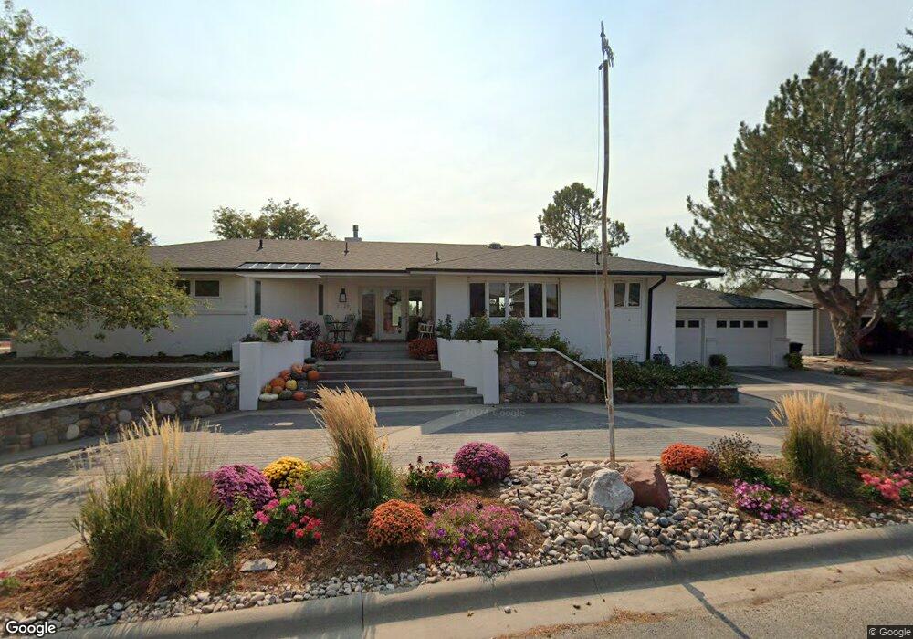
1126 Meadowlark Dr Scottsbluff, NE 69361
Estimated Value: $498,346 - $575,000
4
Beds
3
Baths
2,217
Sq Ft
$248/Sq Ft
Est. Value
About This Home
This home is located at 1126 Meadowlark Dr, Scottsbluff, NE 69361 and is currently estimated at $549,087, approximately $247 per square foot. 1126 Meadowlark Dr is a home located in Scotts Bluff County with nearby schools including Westmoor Elementary School, Bluffs Middle School, and Scottsbluff Senior High School.
Ownership History
Date
Name
Owned For
Owner Type
Purchase Details
Closed on
Nov 22, 2021
Sold by
Reed John Adam and Reed Bethany
Bought by
Afr Holdings Llc
Current Estimated Value
Purchase Details
Closed on
Dec 22, 2010
Sold by
Reed Paul L
Bought by
Reed John Adam
Home Financials for this Owner
Home Financials are based on the most recent Mortgage that was taken out on this home.
Original Mortgage
$308,000
Interest Rate
4.36%
Mortgage Type
New Conventional
Create a Home Valuation Report for This Property
The Home Valuation Report is an in-depth analysis detailing your home's value as well as a comparison with similar homes in the area
Home Values in the Area
Average Home Value in this Area
Purchase History
| Date | Buyer | Sale Price | Title Company |
|---|---|---|---|
| Afr Holdings Llc | -- | None Available | |
| Reed John Adam | $360,000 | -- |
Source: Public Records
Mortgage History
| Date | Status | Borrower | Loan Amount |
|---|---|---|---|
| Previous Owner | Reed John Adam | $308,000 |
Source: Public Records
Tax History Compared to Growth
Tax History
| Year | Tax Paid | Tax Assessment Tax Assessment Total Assessment is a certain percentage of the fair market value that is determined by local assessors to be the total taxable value of land and additions on the property. | Land | Improvement |
|---|---|---|---|---|
| 2024 | $5,412 | $390,420 | $45,695 | $344,725 |
| 2023 | $7,654 | $353,086 | $40,410 | $312,676 |
| 2022 | $7,654 | $353,086 | $40,410 | $312,676 |
| 2021 | $7,547 | $343,979 | $40,410 | $303,569 |
| 2020 | $7,065 | $318,914 | $40,410 | $278,504 |
| 2019 | $7,053 | $320,323 | $41,819 | $278,504 |
| 2018 | $7,058 | $320,323 | $41,819 | $278,504 |
| 2017 | $7,051 | $320,323 | $41,819 | $278,504 |
| 2016 | $7,048 | $320,323 | $41,819 | $278,504 |
| 2015 | $7,031 | $320,323 | $41,819 | $278,504 |
| 2014 | $6,569 | $320,323 | $41,819 | $278,504 |
| 2012 | -- | $312,211 | $41,819 | $270,392 |
Source: Public Records
Map
Nearby Homes
- 2317 Kingsgate Rd
- 2510 Kingsgate Rd
- 4510 Apple Ave
- 4301 Shady Ln
- TBD W 36th St
- 0 W 36th St Unit 20254154
- 10 Stoney Creek Dr
- 414 W 33rd St
- 3415 Ross Ave
- 3017 Avenue F
- 2906 Avenue H
- TBD U S Highway 26
- Lot 1 31st St
- 3428 Cary Ct
- 908 E 42nd St Unit 4020 Hilltop Place
- Lot 2 31st St
- 512 E 35th St
- 2809 Avenue D
- 60260 Highway 71
- TBD Hillcrest Dr
- 1134 Meadowlark Dr
- 1129 Meadowlark Dr
- 1119 Meadowlark Dr
- 1110 Meadowlark Dr
- 1201 Meadowlark Dr
- 1109 Meadowlark Dr
- 1209 Meadowlark Dr
- 1214 Meadowlark Dr
- 1217 Meadowlark Dr
- . Meadowlark Dr
- 1225 Meadowlark Dr
- 1226 Meadowlark Dr
- 1233 Meadowlark Dr
- 1302 Meadowlark Dr
- 911 Meadowlark Dr
- 1301 Meadowlark Dr
- 917 Flamingo Ct
- 901 Meadowlark Dr
- 1126 Peacock Dr
- 1202 Peacock Dr