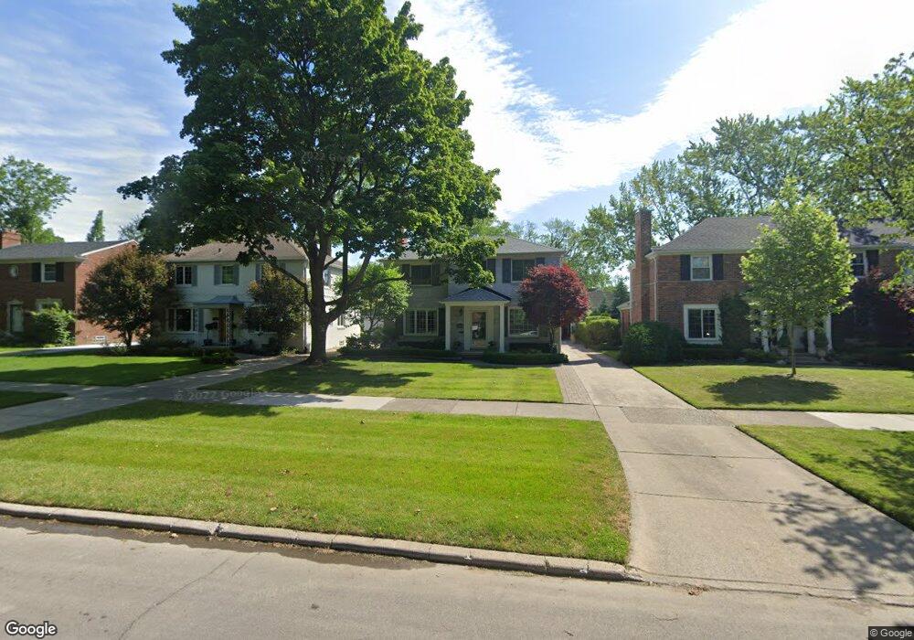
1126 Whittier Rd Grosse Pointe Park, MI 48230
Estimated Value: $523,000 - $675,000
--
Bed
1
Bath
1,836
Sq Ft
$322/Sq Ft
Est. Value
About This Home
This home is located at 1126 Whittier Rd, Grosse Pointe Park, MI 48230 and is currently estimated at $590,798, approximately $321 per square foot. 1126 Whittier Rd is a home located in Wayne County with nearby schools including George Defer Elementary School, Pierce Middle School, and Grosse Pointe South High School.
Ownership History
Date
Name
Owned For
Owner Type
Purchase Details
Closed on
Apr 11, 2013
Sold by
Davies Thomas and Gerhardt Nancy
Bought by
Davies Thomas and Davies Nancy G
Current Estimated Value
Home Financials for this Owner
Home Financials are based on the most recent Mortgage that was taken out on this home.
Original Mortgage
$265,350
Outstanding Balance
$56,147
Interest Rate
3.5%
Mortgage Type
New Conventional
Estimated Equity
$534,651
Purchase Details
Closed on
Sep 30, 2003
Sold by
Millenbach Paul J and Millenbach Victoria F
Bought by
Davies Thomas
Create a Home Valuation Report for This Property
The Home Valuation Report is an in-depth analysis detailing your home's value as well as a comparison with similar homes in the area
Home Values in the Area
Average Home Value in this Area
Purchase History
| Date | Buyer | Sale Price | Title Company |
|---|---|---|---|
| Davies Thomas | -- | Greco Title Agency Llc | |
| Davies Thomas | $440,000 | Metropolitan Title Company |
Source: Public Records
Mortgage History
| Date | Status | Borrower | Loan Amount |
|---|---|---|---|
| Open | Davies Thomas | $265,350 |
Source: Public Records
Tax History Compared to Growth
Tax History
| Year | Tax Paid | Tax Assessment Tax Assessment Total Assessment is a certain percentage of the fair market value that is determined by local assessors to be the total taxable value of land and additions on the property. | Land | Improvement |
|---|---|---|---|---|
| 2025 | $4,071 | $233,500 | $0 | $0 |
| 2024 | $4,071 | $221,200 | $0 | $0 |
| 2023 | $3,887 | $204,000 | $0 | $0 |
| 2022 | $3,693 | $190,700 | $0 | $0 |
| 2021 | $7,282 | $187,400 | $0 | $0 |
| 2019 | $7,494 | $173,700 | $0 | $0 |
| 2018 | $3,521 | $159,900 | $0 | $0 |
| 2017 | $7,996 | $111,800 | $0 | $0 |
| 2016 | $7,415 | $153,500 | $0 | $0 |
| 2015 | $13,178 | $151,200 | $0 | $0 |
| 2013 | $12,390 | $126,200 | $0 | $0 |
| 2012 | $3,509 | $132,900 | $41,700 | $91,200 |
Source: Public Records
Map
Nearby Homes
- 1131 Audubon Rd
- 1200 Audubon Rd
- 1117 Bishop Rd
- 1036 Yorkshire Rd
- 1148 Devonshire Rd
- 616 Cadieux Rd
- 43 Cranford Ln
- 25 Village Ln
- 1387 Kensington Ave
- 1386 Three Mile Dr
- 16935 Maumee Ave
- 1358 Harvard Rd
- 1386 Grayton St
- 1350 Buckingham Rd
- 775 Notre Dame St
- 386 Notre Dame St
- 1425 Bedford Rd
- 497 Neff Rd
- 3430 Bedford St
- 3476 Audubon Rd
- 1132 Whittier Rd
- 1120 Whittier Rd
- 1138 Whittier Rd
- 1108 Whittier Rd
- 1127 Kensington Ave
- 1144 Whittier Rd
- 1119 Kensington Ave
- 1133 Kensington Ave
- 1113 Kensington Ave
- 1100 Whittier Rd
- 1137 Kensington Ave
- 1115 Whittier Rd
- 1145 Kensington Ave
- 1105 Kensington Ave
- 1121 Whittier Rd
- 1150 Whittier Rd
- 1133 Whittier Rd
- 1139 Whittier Rd
- 1101 Whittier Rd
- 1151 Kensington Ave