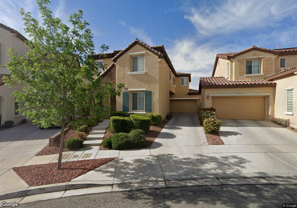
11261 Colinward Ave Las Vegas, NV 89135
Summerlin NeighborhoodEstimated Value: $556,949 - $604,000
3
Beds
3
Baths
2,077
Sq Ft
$283/Sq Ft
Est. Value
About This Home
This home is located at 11261 Colinward Ave, Las Vegas, NV 89135 and is currently estimated at $587,487, approximately $282 per square foot. 11261 Colinward Ave is a home located in Clark County with nearby schools including Judy & John L. Goolsby Elementary School, Palo Verde High School, and Doral Academy Red Rock.
Ownership History
Date
Name
Owned For
Owner Type
Purchase Details
Closed on
Mar 5, 2007
Sold by
Ryland Homes Nevada Llc
Bought by
Camama Marilu
Current Estimated Value
Home Financials for this Owner
Home Financials are based on the most recent Mortgage that was taken out on this home.
Original Mortgage
$363,164
Outstanding Balance
$215,088
Interest Rate
5.87%
Mortgage Type
New Conventional
Estimated Equity
$372,399
Create a Home Valuation Report for This Property
The Home Valuation Report is an in-depth analysis detailing your home's value as well as a comparison with similar homes in the area
Home Values in the Area
Average Home Value in this Area
Purchase History
| Date | Buyer | Sale Price | Title Company |
|---|---|---|---|
| Camama Marilu | $442,590 | Ryland Title |
Source: Public Records
Mortgage History
| Date | Status | Borrower | Loan Amount |
|---|---|---|---|
| Open | Camama Marilu | $363,164 |
Source: Public Records
Tax History Compared to Growth
Tax History
| Year | Tax Paid | Tax Assessment Tax Assessment Total Assessment is a certain percentage of the fair market value that is determined by local assessors to be the total taxable value of land and additions on the property. | Land | Improvement |
|---|---|---|---|---|
| 2025 | $2,200 | $143,332 | $51,450 | $91,882 |
| 2024 | $2,137 | $143,332 | $51,450 | $91,882 |
| 2023 | $2,137 | $124,827 | $38,150 | $86,677 |
| 2022 | $2,074 | $109,220 | $30,450 | $78,770 |
| 2021 | $2,014 | $103,586 | $28,700 | $74,886 |
| 2020 | $1,952 | $100,897 | $26,950 | $73,947 |
| 2019 | $1,896 | $94,666 | $22,050 | $72,616 |
| 2018 | $1,840 | $89,935 | $20,300 | $69,635 |
| 2017 | $2,722 | $92,458 | $22,330 | $70,128 |
| 2016 | $1,743 | $86,500 | $15,785 | $70,715 |
| 2015 | $1,740 | $66,396 | $10,780 | $55,616 |
| 2014 | $1,685 | $55,363 | $8,470 | $46,893 |
Source: Public Records
Map
Nearby Homes
- 2043 Ardilea St
- 11239 Eureka Pass Ct
- 2031 Ardilea St
- 1885 Cape Cod Landing Dr
- 1837 Ardilea St
- 1871 Granemore St
- 2334 Malaga Peak St
- 2374 Malaga Peak St
- 2435 Cordoba Bluff Ct
- 11347 Belmont Lake Dr Unit 102
- 2451 Hollow Rock Ct
- 11420 Ogden Mills Dr Unit 101
- 1995 Alcova Ridge Dr
- 11422 Belmont Lake Dr Unit 104
- 11428 Belmont Lake Dr Unit 102
- 11428 Belmont Lake Dr Unit 101
- 11489 Belmont Lake Dr Unit 106
- 2038 Cherry Creek Cir
- 2436 Grassy Spring Place
- 11379 Gravitation Dr
- 11267 Colinward Ave
- 11255 Colinward Ave
- 11273 Colinward Ave
- 11272 Corsica Mist Ave
- 11276 Corsica Mist Ave
- 11279 Colinward Ave
- 2111 Cape Cod Landing Dr
- 11270 Corsica Mist Ave
- 11247 Ventura Grass Ct
- 11285 Colinward Ave
- 11278 Colinward Ave
- 11246 Ventura Grass Ct
- 2097 Cape Cod Landing Dr
- 11280 Corsica Mist Ave
- 11282 Corsica Mist Ave
- 11282 Corsica Mist Ave Unit n/a
- 11243 Ventura Grass Ct
- 11291 Colinward Ave
- 11302 Corsica Mist Ave
- 11245 Sutter Crossing Ct