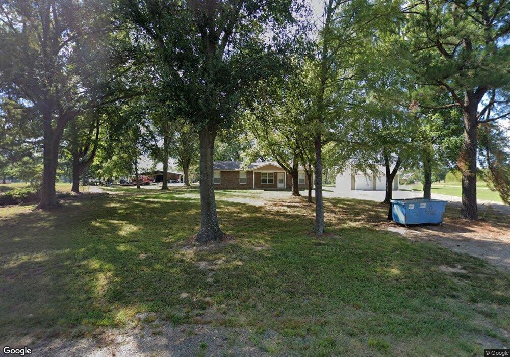
112698 S 4710 Rd Muldrow, OK 74948
Estimated Value: $156,000 - $424,000
4
Beds
2
Baths
1,456
Sq Ft
$174/Sq Ft
Est. Value
About This Home
This home is located at 112698 S 4710 Rd, Muldrow, OK 74948 and is currently estimated at $253,438, approximately $174 per square foot. 112698 S 4710 Rd is a home located in Sequoyah County with nearby schools including Muldrow Elementary School, Muldrow Middle School, and Muldrow High School.
Ownership History
Date
Name
Owned For
Owner Type
Purchase Details
Closed on
Nov 14, 2019
Sold by
Housing Authority
Bought by
Bray Susan Y and Bray Alonial R
Current Estimated Value
Purchase Details
Closed on
May 28, 2015
Sold by
Simmons James
Bought by
Housing Authority Of The Cherokee Nation
Home Financials for this Owner
Home Financials are based on the most recent Mortgage that was taken out on this home.
Original Mortgage
$65,975
Interest Rate
4.12%
Mortgage Type
FHA
Purchase Details
Closed on
Dec 23, 2013
Sold by
Powell Clara
Bought by
Bray Susan
Create a Home Valuation Report for This Property
The Home Valuation Report is an in-depth analysis detailing your home's value as well as a comparison with similar homes in the area
Home Values in the Area
Average Home Value in this Area
Purchase History
| Date | Buyer | Sale Price | Title Company |
|---|---|---|---|
| Bray Susan Y | -- | None Available | |
| Housing Authority Of The Cherokee Nation | -- | None Available | |
| Bray Susan | -- | -- |
Source: Public Records
Mortgage History
| Date | Status | Borrower | Loan Amount |
|---|---|---|---|
| Previous Owner | Housing Authority Of The Cherokee Nation | $65,975 |
Source: Public Records
Tax History Compared to Growth
Tax History
| Year | Tax Paid | Tax Assessment Tax Assessment Total Assessment is a certain percentage of the fair market value that is determined by local assessors to be the total taxable value of land and additions on the property. | Land | Improvement |
|---|---|---|---|---|
| 2024 | $795 | $10,654 | $660 | $9,994 |
| 2023 | $757 | $10,147 | $660 | $9,487 |
| 2022 | $687 | $9,663 | $660 | $9,003 |
| 2021 | $691 | $9,730 | $660 | $9,070 |
| 2020 | $698 | $9,823 | $660 | $9,163 |
| 2019 | $0 | $9,823 | $660 | $9,163 |
| 2018 | $0 | $0 | $0 | $0 |
| 2017 | $0 | $0 | $0 | $0 |
| 2016 | $0 | $0 | $0 | $0 |
| 2015 | -- | $0 | $0 | $0 |
| 2014 | $333 | $4,688 | $595 | $4,093 |
Source: Public Records
Map
Nearby Homes
- Tract 1 S 4757 Rd
- TBD Shawntel Smith Blvd
- TBD 4666 Rd
- Tract 2 S 4757 Rd
- Lot 33 Whispering Winds
- TBD S 4750
- TBD 4758 Rd
- TBD E 1090 Rd
- Tbd 1160 Rd
- 472226 E 1086 Rd
- 470786 E 1121 Rd
- TBD Treat Dr
- 474366 E 1040 Rd
- 0 1120 Rd Unit 2541242
- 0 1120 Rd Unit 2541237
- 111024 S 4710 Rd
- 470511 E 1110 Rd
- 716 Varner Dr
- 416 Deer Run Rd
- 410 Deer Run Rd
- 12772 S 4710 Rd
- 112774 S 4710 Rd
- 471039 E 1127 Rd
- 112631 S 4710 Rd
- 0 4717 Unit 730547
- 0 4717 Unit 814686
- TBD E 1010 Rd
- TBD 30 +/- Acres E 1085 Rd
- TBD E 1135 Rd
- D 1110 Rd
- 100990 S 4705 Rd
- TBD S 4720 Road 4720
- TBT S 4770 Rd
- TBD S 4715 Rd
- 473246 E 1085 Rd
- TBD Tract 1 E 1070 Rd
- TBD Tract 5 E 1070
- TBD Tract 6 E 1070 Rd
- TBD Tract 7 E 1070 Rd
- TBD Whispering Winds