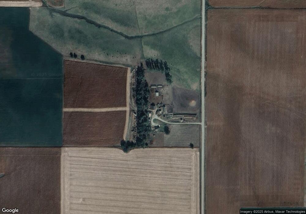
1127 22nd Rd West Point, NE 68788
Estimated Value: $458,000 - $551,447
3
Beds
1
Bath
1,440
Sq Ft
$351/Sq Ft
Est. Value
About This Home
This home is located at 1127 22nd Rd, West Point, NE 68788 and is currently estimated at $504,724, approximately $350 per square foot. 1127 22nd Rd is a home located in Cuming County with nearby schools including West Point-Beemer Junior/Senior High School.
Ownership History
Date
Name
Owned For
Owner Type
Purchase Details
Closed on
Aug 3, 2005
Sold by
Peterson Larry K and Peterson Larry K
Bought by
Peterson Lawrence J and Peterson Grace M
Current Estimated Value
Home Financials for this Owner
Home Financials are based on the most recent Mortgage that was taken out on this home.
Original Mortgage
$70,000
Outstanding Balance
$36,358
Interest Rate
5.78%
Mortgage Type
Purchase Money Mortgage
Estimated Equity
$468,366
Create a Home Valuation Report for This Property
The Home Valuation Report is an in-depth analysis detailing your home's value as well as a comparison with similar homes in the area
Purchase History
| Date | Buyer | Sale Price | Title Company |
|---|---|---|---|
| Peterson Lawrence J | $70,000 | -- |
Source: Public Records
Mortgage History
| Date | Status | Borrower | Loan Amount |
|---|---|---|---|
| Open | Peterson Lawrence J | $70,000 |
Source: Public Records
Tax History
| Year | Tax Paid | Tax Assessment Tax Assessment Total Assessment is a certain percentage of the fair market value that is determined by local assessors to be the total taxable value of land and additions on the property. | Land | Improvement |
|---|---|---|---|---|
| 2025 | $3,370 | $649,670 | $594,625 | $55,045 |
| 2024 | $3,375 | $563,500 | $516,935 | $46,565 |
| 2023 | $4,506 | $507,690 | $463,720 | $43,970 |
| 2022 | $4,587 | $471,140 | $436,125 | $35,015 |
| 2021 | $4,424 | $450,315 | $421,420 | $28,895 |
| 2020 | $4,623 | $477,005 | $452,240 | $24,765 |
| 2019 | $4,599 | $465,445 | $443,285 | $22,160 |
| 2018 | $4,768 | $487,620 | $465,375 | $22,245 |
| 2017 | $4,589 | $452,585 | $428,535 | $24,050 |
| 2016 | $4,554 | $425,285 | $403,505 | $21,780 |
| 2015 | $4,550 | $389,205 | $367,425 | $21,780 |
| 2014 | $3,214 | $328,425 | $308,025 | $20,400 |
| 2013 | $3,214 | $240,005 | $219,895 | $20,110 |
Source: Public Records
Map
Nearby Homes
Your Personal Tour Guide
Ask me questions while you tour the home.