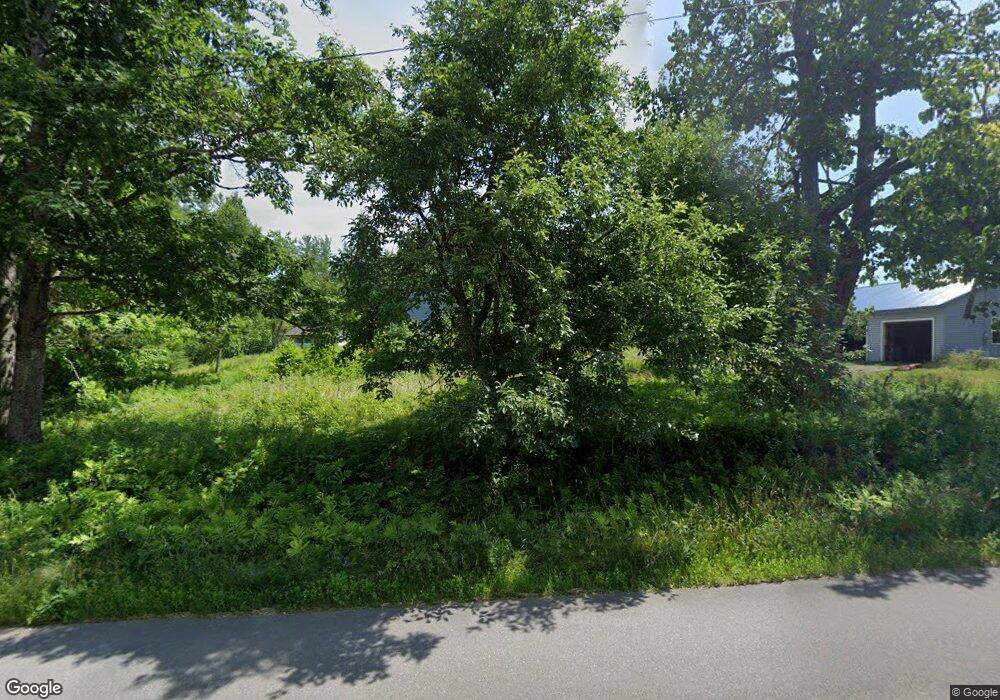
1127 Bald Mountain Rd Orland, ME 04472
Estimated Value: $351,245 - $439,000
3
Beds
2
Baths
2,016
Sq Ft
$202/Sq Ft
Est. Value
About This Home
This home is located at 1127 Bald Mountain Rd, Orland, ME 04472 and is currently estimated at $406,415, approximately $201 per square foot. 1127 Bald Mountain Rd is a home with nearby schools including G. Herbert Jewett School, Miles Lane School, and Bucksport Middle School.
Ownership History
Date
Name
Owned For
Owner Type
Purchase Details
Closed on
Nov 30, 2020
Sold by
Barrett Gerald E and Barrett Nancy L
Bought by
Astbury-King Max P and Astbury Lucy
Current Estimated Value
Home Financials for this Owner
Home Financials are based on the most recent Mortgage that was taken out on this home.
Original Mortgage
$135,531
Outstanding Balance
$120,878
Interest Rate
2.8%
Mortgage Type
FHA
Estimated Equity
$285,537
Create a Home Valuation Report for This Property
The Home Valuation Report is an in-depth analysis detailing your home's value as well as a comparison with similar homes in the area
Home Values in the Area
Average Home Value in this Area
Purchase History
| Date | Buyer | Sale Price | Title Company |
|---|---|---|---|
| Astbury-King Max P | -- | None Available |
Source: Public Records
Mortgage History
| Date | Status | Borrower | Loan Amount |
|---|---|---|---|
| Open | Astbury-King Max P | $135,531 |
Source: Public Records
Tax History Compared to Growth
Tax History
| Year | Tax Paid | Tax Assessment Tax Assessment Total Assessment is a certain percentage of the fair market value that is determined by local assessors to be the total taxable value of land and additions on the property. | Land | Improvement |
|---|---|---|---|---|
| 2024 | $3,083 | $253,100 | $37,500 | $215,600 |
| 2023 | $2,982 | $253,100 | $37,500 | $215,600 |
| 2022 | $2,500 | $255,670 | $37,500 | $218,170 |
| 2021 | $2,108 | $137,760 | $20,380 | $117,380 |
| 2020 | $2,108 | $137,760 | $20,380 | $117,380 |
| 2019 | $2,135 | $137,760 | $20,380 | $117,380 |
| 2018 | $2,024 | $137,760 | $20,380 | $117,380 |
| 2017 | $1,922 | $137,760 | $20,380 | $117,380 |
| 2016 | $1,887 | $137,760 | $20,380 | $117,380 |
| 2015 | $1,887 | $137,760 | $20,380 | $117,380 |
| 2014 | $1,956 | $137,760 | $20,380 | $117,380 |
| 2013 | $1,956 | $137,760 | $20,380 | $117,380 |
Source: Public Records
Map
Nearby Homes
- MAP15LOT56 Upper Long Pond Rd
- 00 Moosehorn Dr
- 51 Brookview Dr
- Lot 005 Maine 46
- 1548 State Route 46
- 1026 Bucks Mills Rd
- 47 & 48 Arrow Dr
- 1181 Happytown Rd
- 1365 Bucksmills Rd
- 1420 Bucksmills Rd
- 2 Marion Ln
- 54 Robin Hood Cir
- 0 Bald Mountain Rd Unit 1635891
- 21 Robin Hood Dr
- Lot #11 Russell Hill Rd
- Lot #4 Russell Hill Rd
- Lot #5 Russell Hill Rd
- Lot #2 Russell Hill Rd
- Lot #10 Russell Hill Rd
- Lot #6 Russell Hill Rd
- 1115 Bald Mountain Rd
- 1130 Bald Mountain Rd
- 1099 Bald Mountain Rd
- 1108 Bald Mountain Rd
- 1173 Bald Mountain Rd
- 1172 Bald Mountain Rd
- 1156 Bald Mountain Rd
- 0 Bald Mountain Rd Unit 733722
- 0 Bald Mountain Rd Unit 982150
- 0 Bald Mountain Rd Unit 1092866
- 0 Bald Mountain Rd Unit 1208064
- 0 Bald Mountain Rd Unit 1320243
- 0 Bald Mountain Rd Unit 1523655
- 1192 Bald Mountain Rd
- 1202 Bald Mountain Rd
- 1207 Bald Mountain Rd
- 00 Bald Mountain Rd
- 1220 Bald Mountain Rd
- 32 Johnson Rd
- 0 Bald Mountain Rd Unit 1609118
