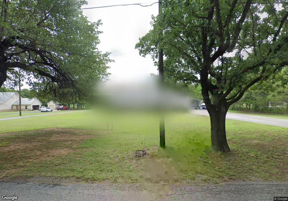
1127 Desvoignes Rd Denison, TX 75021
Estimated Value: $286,609 - $372,000
--
Bed
--
Bath
1,677
Sq Ft
$196/Sq Ft
Est. Value
About This Home
This home is located at 1127 Desvoignes Rd, Denison, TX 75021 and is currently estimated at $329,305, approximately $196 per square foot. 1127 Desvoignes Rd is a home located in Grayson County with nearby schools including Lamar Elementary School, Scott Middle School, and Denison High School.
Ownership History
Date
Name
Owned For
Owner Type
Purchase Details
Closed on
Jun 22, 2021
Sold by
Keating Forrest M
Bought by
Keating Lance Arthur
Current Estimated Value
Purchase Details
Closed on
May 12, 2021
Sold by
Keating Lance Arthur and The Keating Living Trust
Bought by
Keating Lance Arthur and Keating Forrest M
Purchase Details
Closed on
Oct 15, 2019
Sold by
Garland Rhonda Renee
Bought by
Neu Matthew Neu and Neu Ahley
Create a Home Valuation Report for This Property
The Home Valuation Report is an in-depth analysis detailing your home's value as well as a comparison with similar homes in the area
Home Values in the Area
Average Home Value in this Area
Purchase History
| Date | Buyer | Sale Price | Title Company |
|---|---|---|---|
| Keating Lance Arthur | -- | New Title Company Name | |
| Keating Lance Arthur | -- | None Available | |
| Neu Matthew Neu | -- | None Available |
Source: Public Records
Tax History Compared to Growth
Tax History
| Year | Tax Paid | Tax Assessment Tax Assessment Total Assessment is a certain percentage of the fair market value that is determined by local assessors to be the total taxable value of land and additions on the property. | Land | Improvement |
|---|---|---|---|---|
| 2025 | $2,417 | $290,864 | $82,674 | $208,190 |
| 2024 | $4,444 | $275,150 | $65,526 | $209,624 |
| 2023 | $2,421 | $271,328 | $62,603 | $208,725 |
| 2022 | $4,631 | $268,038 | $50,418 | $217,620 |
| 2021 | $1,981 | $105,639 | $15,631 | $90,008 |
| 2020 | $3,901 | $195,973 | $20,150 | $175,823 |
| 2019 | $4,120 | $196,201 | $20,150 | $176,051 |
| 2018 | $3,785 | $176,344 | $20,150 | $156,194 |
| 2017 | $3,633 | $168,158 | $16,130 | $152,028 |
| 2016 | $3,357 | $173,613 | $14,606 | $159,007 |
| 2015 | $1,469 | $141,279 | $14,622 | $126,657 |
| 2014 | $1,611 | $138,773 | $21,157 | $117,616 |
Source: Public Records
Map
Nearby Homes
- 1513 Desvoignes Rd
- 248 Karen Dr
- 413 Rolling Acres Rd
- 1651 Desvoignes Rd
- 1747 Desvoignes Rd
- TBD N Highway 69
- 21 Chaparral Estates Dr
- 515 Joy Ln
- 153 Circle Dr
- 601 Dubois St
- 227 Sheryl Ln
- 1905 S Lamar Ave
- 66 Shady Woods Ln
- 1903 S Lamar Ave
- 732 E Bullock St
- 1901 S Lamar Ave
- 430 W Coffin St
- 721 E Bullock St
- 608 W Baker St
- 607 W Baker St
- 1169 Desvoignes 1 Acre Rd
- 1169 Desvoignes Rd
- 1087 Desvoignes Rd
- 1147 Desvoignes Rd
- 1187 Desvoignes Rd
- 1170 Desvoignes Rd
- 1065 Desvoignes Rd
- 1029 Desvoignes Rd
- 1217 Desvoignes Rd
- Lt 7 Meadows Estate Ct
- 1214 Desvoignes Rd
- 1246 Desvoignes Rd
- 94 Victoria Ln
- 105 Rolling Acres Rd
- 1073 Desvoignes Rd
- 975 Desvoignes Rd
- 1266 Desvoignes Rd
- TBD 2 Karen
- Lt 6 Meadows Estate Ct
- 50 Karen Dr
