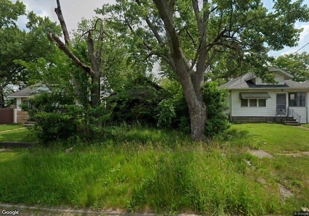
1127 Knapp Ave Flint, MI 48503
Mannhall Park NeighborhoodEstimated Value: $47,000 - $95,418
2
Beds
1
Bath
970
Sq Ft
$67/Sq Ft
Est. Value
About This Home
This home is located at 1127 Knapp Ave, Flint, MI 48503 and is currently estimated at $65,473, approximately $67 per square foot. 1127 Knapp Ave is a home located in Genesee County with nearby schools including Durant-Tuuri-Mott Elementary School, Flint Southwestern Classical Academy, and St. Paul Lutheran School.
Ownership History
Date
Name
Owned For
Owner Type
Purchase Details
Closed on
Dec 20, 2022
Sold by
Genesee County Treasurer
Bought by
Genesee County Land Bank Authority
Current Estimated Value
Purchase Details
Closed on
Apr 26, 2022
Sold by
Edward Deforest
Bought by
Michigan Department Of Treasury
Purchase Details
Closed on
Jul 1, 2011
Sold by
Secretary Of Housing & Urban Development
Bought by
Deforest Edward
Purchase Details
Closed on
Sep 21, 2010
Sold by
Michigan State Housing Development Autho
Bought by
Secretary Of Housing & Urband Developmen
Purchase Details
Closed on
Mar 17, 2010
Sold by
Yencer Eric and Yencer Haley A
Bought by
Michigan State Housing Development Autho
Create a Home Valuation Report for This Property
The Home Valuation Report is an in-depth analysis detailing your home's value as well as a comparison with similar homes in the area
Home Values in the Area
Average Home Value in this Area
Purchase History
| Date | Buyer | Sale Price | Title Company |
|---|---|---|---|
| Genesee County Land Bank Authority | -- | -- | |
| Michigan Department Of Treasury | -- | -- | |
| Deforest Edward | $4,015 | None Available | |
| Secretary Of Housing & Urband Developmen | -- | None Available | |
| Michigan State Housing Development Autho | $38,780 | None Available |
Source: Public Records
Tax History
| Year | Tax Paid | Tax Assessment Tax Assessment Total Assessment is a certain percentage of the fair market value that is determined by local assessors to be the total taxable value of land and additions on the property. | Land | Improvement |
|---|---|---|---|---|
| 2025 | -- | $0 | $0 | $0 |
| 2024 | -- | $0 | $0 | $0 |
| 2023 | -- | $0 | $0 | $0 |
| 2022 | $0 | $14,000 | $0 | $0 |
| 2021 | $837 | $12,100 | $0 | $0 |
| 2020 | $758 | $10,500 | $0 | $0 |
| 2019 | $740 | $11,000 | $0 | $0 |
| 2018 | $2,212 | $10,700 | $0 | $0 |
| 2017 | $2,982 | $0 | $0 | $0 |
| 2016 | $709 | $0 | $0 | $0 |
| 2015 | -- | $0 | $0 | $0 |
| 2014 | -- | $0 | $0 | $0 |
| 2012 | -- | $13,100 | $0 | $0 |
Source: Public Records
Map
Nearby Homes
- 1202 Knapp Ave
- 1122 Stocker Ave
- 1017 Stocker Ave
- 1114 Clancy Ave
- 2805 Reynolds St
- 3413 Augusta St
- 1308 Barney Ave
- 3217 Arlene Ave
- 3317 Arlene Ave
- 960 Mann Ave
- 976 Barney Ave
- 3214 Clairmont St
- 2729 Chicago Blvd
- 1412 S Ballenger Hwy
- 2618 Brown St
- 911 Hughes Ave
- 932 Bradley Ave
- 916 Mann Ave
- 2608 Cumings Ave
- 2663 W Court St
- 1201 Knapp Ave
- 1121 Knapp Ave
- 1205 Knapp Ave
- 1209 Knapp Ave
- 1128 Hughes Ave
- 1124 Hughes Ave
- 1120 Hughes Ave
- 1206 Hughes Ave
- 1208 Hughes Ave
- 1114 Hughes Ave
- 1126 Knapp Ave
- 1217 Knapp Ave
- 1122 Knapp Ave
- 1118 Knapp Ave
- 1204 Knapp Ave
- 3009 Corunna Rd
- 1210 Hughes Ave
- 1114 Knapp Ave
- 3019 Corunna Rd
- 1218 Hughes Ave
Your Personal Tour Guide
Ask me questions while you tour the home.