1127 Laurel Branch Rd Hayesville, NC 28904
Estimated Value: $383,000 - $501,000
3
Beds
4
Baths
2,592
Sq Ft
$174/Sq Ft
Est. Value
About This Home
This home is located at 1127 Laurel Branch Rd, Hayesville, NC 28904 and is currently estimated at $451,533, approximately $174 per square foot. 1127 Laurel Branch Rd is a home located in Clay County with nearby schools including Hayesville Elementary School, Hayesville Middle School, and Hayesville High School.
Ownership History
Date
Name
Owned For
Owner Type
Purchase Details
Closed on
Dec 31, 2024
Sold by
Roane Mark D and Roane Maria L
Bought by
Roane Maria L
Current Estimated Value
Purchase Details
Closed on
Oct 23, 2014
Sold by
Lands Lloyd and Lands Joann
Bought by
Roane Mark D and Roane Maria L
Home Financials for this Owner
Home Financials are based on the most recent Mortgage that was taken out on this home.
Original Mortgage
$139,000
Interest Rate
4.5%
Mortgage Type
Adjustable Rate Mortgage/ARM
Purchase Details
Closed on
May 1, 2011
Sold by
Us Bank Na
Bought by
Lands Lloyd and Lands Joann
Purchase Details
Closed on
Sep 13, 2005
Sold by
Gaddy Daniel W and Gaddy Susan M
Bought by
Young Michael S and Cameron Young Selena E
Home Financials for this Owner
Home Financials are based on the most recent Mortgage that was taken out on this home.
Original Mortgage
$36,400
Interest Rate
5.77%
Mortgage Type
Stand Alone Second
Create a Home Valuation Report for This Property
The Home Valuation Report is an in-depth analysis detailing your home's value as well as a comparison with similar homes in the area
Home Values in the Area
Average Home Value in this Area
Purchase History
| Date | Buyer | Sale Price | Title Company |
|---|---|---|---|
| Roane Maria L | -- | None Listed On Document | |
| Roane Mark D | $139,000 | None Available | |
| Lands Lloyd | -- | -- | |
| Young Michael S | $182,000 | -- |
Source: Public Records
Mortgage History
| Date | Status | Borrower | Loan Amount |
|---|---|---|---|
| Previous Owner | Roane Mark D | $139,000 | |
| Previous Owner | Young Michael S | $36,400 | |
| Previous Owner | Young Michael S | $145,600 |
Source: Public Records
Tax History Compared to Growth
Tax History
| Year | Tax Paid | Tax Assessment Tax Assessment Total Assessment is a certain percentage of the fair market value that is determined by local assessors to be the total taxable value of land and additions on the property. | Land | Improvement |
|---|---|---|---|---|
| 2025 | $1,311 | $212,500 | $31,000 | $181,500 |
| 2024 | $1,311 | $212,500 | $31,000 | $181,500 |
| 2023 | $1,116 | $212,500 | $31,000 | $181,500 |
| 2022 | $1,121 | $212,500 | $31,000 | $181,500 |
| 2021 | $1,126 | $212,500 | $31,000 | $181,500 |
| 2020 | $1,135 | $212,500 | $31,000 | $181,500 |
| 2019 | $1,124 | $212,500 | $31,000 | $181,500 |
| 2018 | $1,134 | $212,500 | $31,000 | $181,500 |
| 2016 | -- | $200,739 | $36,798 | $163,941 |
| 2015 | -- | $199,739 | $36,798 | $162,941 |
| 2014 | -- | $199,739 | $36,798 | $162,941 |
Source: Public Records
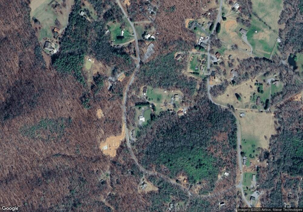
Map
Nearby Homes
- 1017 Laurel Branch Rd
- 966 Laurel Branch Rd
- 125 Jess Hooper Dr
- 630 Hot House Rd
- 1306 Hot House Rd
- 472 Hogsed Dr
- 312 Penland Indian Trail
- 122 Penland Indian Trail
- 00 Cliffside Dr Unit LotWP002
- 0 Tbd Cliffside Dr
- 00 Cliffside Dr
- Lot 137 Shiloh Ridge
- LT 73 Shiloh Ridge
- Lot 139 Shiloh Ridge
- TR 2 & 3 Ash Rd
- 30 Berrong Dr
- 398 Hidden Cove Ln
- 41 Little Brook Terrace
- LOT 18 Shooting Creek Trail
- 130 Aunt Weese Ln
- 0 Aunt Weese Ln
- 57 Aunt Weese Ln
- 60 Aunt Weese Ln
- TR 6 Rhodemont Trail
- 28 Patterson Ln
- 8 Rhodemont Trail
- 9 Rhodemont Trail Unit Lot 9
- 9 Rhodemont Trail
- 1026 Laurel Branch Rd
- 1022 Laurel Branch Rd
- 1273 Laurel Branch Rd
- 25 Rhodemont Trail
- 910 Hot House Rd
- 1311 Laurel Branch Rd
- 959 Hot House Rd
- 44 Laurel Branch Dr
- 933 Hot House Rd
- 1347 Laurel Branch Rd
- 1350 Laurel Branch Rd