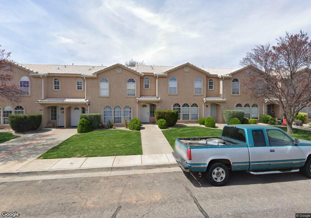
1127 N 1570 W Unit 36 Saint George, UT 84770
Estimated Value: $291,034 - $307,000
3
Beds
2
Baths
1,364
Sq Ft
$218/Sq Ft
Est. Value
About This Home
This home is located at 1127 N 1570 W Unit 36, Saint George, UT 84770 and is currently estimated at $297,759, approximately $218 per square foot. 1127 N 1570 W Unit 36 is a home located in Washington County with nearby schools including Paradise Canyon, Snow Canyon Middle School, and Lava Ridge Intermediate School.
Ownership History
Date
Name
Owned For
Owner Type
Purchase Details
Closed on
Aug 23, 2013
Sold by
Nye Andre and Nye Carol
Bought by
Heo Yoo Rim
Current Estimated Value
Home Financials for this Owner
Home Financials are based on the most recent Mortgage that was taken out on this home.
Original Mortgage
$104,080
Outstanding Balance
$76,966
Interest Rate
4.25%
Mortgage Type
FHA
Estimated Equity
$220,793
Create a Home Valuation Report for This Property
The Home Valuation Report is an in-depth analysis detailing your home's value as well as a comparison with similar homes in the area
Home Values in the Area
Average Home Value in this Area
Purchase History
| Date | Buyer | Sale Price | Title Company |
|---|---|---|---|
| Heo Yoo Rim | -- | First American Title Company |
Source: Public Records
Mortgage History
| Date | Status | Borrower | Loan Amount |
|---|---|---|---|
| Open | Heo Yoo Rim | $104,080 |
Source: Public Records
Tax History Compared to Growth
Tax History
| Year | Tax Paid | Tax Assessment Tax Assessment Total Assessment is a certain percentage of the fair market value that is determined by local assessors to be the total taxable value of land and additions on the property. | Land | Improvement |
|---|---|---|---|---|
| 2025 | $1,097 | $156,310 | $38,500 | $117,810 |
| 2023 | $1,107 | $165,385 | $35,750 | $129,635 |
| 2022 | $1,469 | $169,345 | $35,750 | $133,595 |
| 2021 | $983 | $206,000 | $40,000 | $166,000 |
| 2020 | $877 | $173,000 | $35,000 | $138,000 |
| 2019 | $861 | $165,900 | $30,000 | $135,900 |
| 2018 | $784 | $75,790 | $0 | $0 |
| 2017 | $666 | $64,405 | $0 | $0 |
| 2016 | $653 | $58,355 | $0 | $0 |
| 2015 | $625 | $53,625 | $0 | $0 |
| 2014 | $562 | $48,510 | $0 | $0 |
Source: Public Records
Map
Nearby Homes
- 1708 W 1020 N Unit 146
- 1589 W 1270 N
- 1742 W 1020 N Unit 123
- 1075 N 1400 W Unit 32
- 954 N 1725 W Unit 32
- 1542 W 1270 N
- 1782 W 1020 N Unit 133
- 1074 1400 St W
- 1070 1400 St W
- 1793 W 950 N Unit 3
- 1840 W 1100 N Unit 28
- 1840 W 1100 N Unit 17
- 1840 W 1100 N Unit 55
- 1373 N 1610 W
- 1548 W 1370 N
- 1811 W 1300 N
- 1305 N Royal Cir
- 1108 N 1300 W Unit 26
- 1108 N 1300 W Unit 10
- 1360 N Dixie Downs Rd Unit 5
- 1127 N 1570 W
- 1131 N 1570 W
- 1131 N 1570 W Unit 35
- 1123 N 1570 W
- 1133 N 1570 W
- 1133 N 1570 W Unit 34
- 1119 N 1570 W
- 1119 N 1570 W Unit 38
- 1115 N 1570 W
- 1139 N 1570 W Unit 33
- 1134 N 1620 W Unit 14
- 1132 N 1620 W Unit 13
- 1111 N 1570 W Unit 40
- 1128 N 1620 W Unit 12
- 1138 N 1620 W Unit 15
- 1145 N 1570 W Unit 31
- 1145 N 1570 W
- 1107 N 1570 W Unit 41
- 1118 N 1620 W Unit 10
- 1114 N 1620 W Unit 9