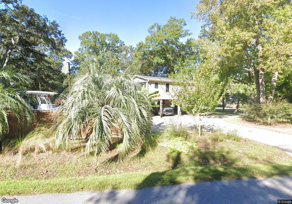
1127 Pauline Ave Charleston, SC 29412
James Island NeighborhoodEstimated Value: $616,000 - $642,000
3
Beds
2
Baths
1,900
Sq Ft
$331/Sq Ft
Est. Value
About This Home
This home is located at 1127 Pauline Ave, Charleston, SC 29412 and is currently estimated at $628,575, approximately $330 per square foot. 1127 Pauline Ave is a home located in Charleston County with nearby schools including James Island Elementary School, Camp Road Middle, and Septima P Clark Corporate Academy.
Ownership History
Date
Name
Owned For
Owner Type
Purchase Details
Closed on
Jan 10, 2012
Sold by
Stober Bradley J
Bought by
Stober Bradley J and Stober Kristin M
Current Estimated Value
Home Financials for this Owner
Home Financials are based on the most recent Mortgage that was taken out on this home.
Original Mortgage
$175,235
Outstanding Balance
$118,806
Interest Rate
3.75%
Mortgage Type
FHA
Estimated Equity
$509,769
Purchase Details
Closed on
Mar 30, 2001
Sold by
Kelly Mckeithan John
Bought by
Stober Bradley J and Stober Marc
Create a Home Valuation Report for This Property
The Home Valuation Report is an in-depth analysis detailing your home's value as well as a comparison with similar homes in the area
Home Values in the Area
Average Home Value in this Area
Purchase History
| Date | Buyer | Sale Price | Title Company |
|---|---|---|---|
| Stober Bradley J | -- | -- | |
| Stober Bradley J | -- | -- | |
| Stober Bradley J | $152,000 | -- |
Source: Public Records
Mortgage History
| Date | Status | Borrower | Loan Amount |
|---|---|---|---|
| Open | Stober Bradley J | $175,235 |
Source: Public Records
Tax History Compared to Growth
Tax History
| Year | Tax Paid | Tax Assessment Tax Assessment Total Assessment is a certain percentage of the fair market value that is determined by local assessors to be the total taxable value of land and additions on the property. | Land | Improvement |
|---|---|---|---|---|
| 2024 | $1,189 | $9,340 | $0 | $0 |
| 2023 | $1,189 | $9,340 | $0 | $0 |
| 2022 | $1,070 | $9,340 | $0 | $0 |
| 2021 | $1,143 | $9,340 | $0 | $0 |
| 2020 | $1,155 | $9,340 | $0 | $0 |
| 2019 | $1,058 | $8,120 | $0 | $0 |
| 2017 | $1,121 | $8,120 | $0 | $0 |
| 2016 | $1,076 | $8,120 | $0 | $0 |
| 2015 | $1,113 | $8,120 | $0 | $0 |
| 2014 | $1,031 | $0 | $0 | $0 |
| 2011 | -- | $0 | $0 | $0 |
Source: Public Records
Map
Nearby Homes
- 1153 Pauline Ave
- 1152 Bradford Ave
- 1182 Folly Rd Unit A,B,C,D
- 1135 Bellwood Rd
- 1030 Pauline Ave
- 1047 Bradford Ave
- 1206 Folly Rd
- 1014 Arborwood Dr
- 1056 Yorktown Dr
- 1530 Fort Johnson Rd Unit 1E
- 1530 Fort Johnson Rd Unit 1L
- 1815 Walsingham Way
- 1764 Ashworth Ln
- 1232 Silverleaf Cir
- 1039 Yorktown Dr
- 1107 Secessionville Rd
- 1540 Fort Johnson Rd
- 1418 Kentwood Cir
- 1453 Camp Rd
- 0 Turkey Pen Rd Unit 16023532
- 1135 Pauline Ave
- 1529 Shandon St
- 1518 Shandon St
- 1524 Shandon St
- 1126 Pauline Ave
- 1130 Pauline Ave
- 1535 Shandon St
- 1530 Shandon St
- 1141 Pauline Ave
- 1120 Pauline Ave
- 1136 Pauline Ave
- 1520 Sutton St
- 1111 Pauline Ave
- 1536 Shandon St
- 1114 Pauline Ave
- 1132 Bradford Ave
- 1526 Sutton St
- 1142 Pauline Ave
- 1087 Oakcrest Dr
- 1140 Bradford Ave