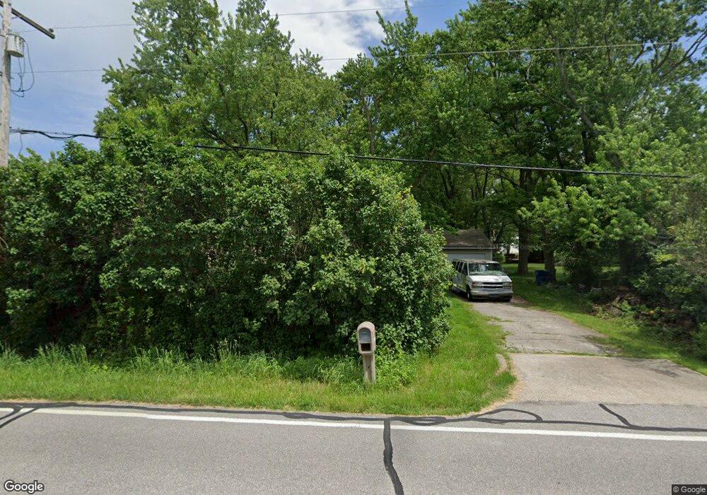
1127 Pearson Rd Chesterton, IN 46304
Estimated Value: $153,914 - $274,000
2
Beds
1
Bath
744
Sq Ft
$279/Sq Ft
Est. Value
About This Home
This home is located at 1127 Pearson Rd, Chesterton, IN 46304 and is currently estimated at $207,729, approximately $279 per square foot. 1127 Pearson Rd is a home located in Porter County with nearby schools including Newton Yost Elementary School, Westchester Intermediate School, and Chesterton Middle School.
Ownership History
Date
Name
Owned For
Owner Type
Purchase Details
Closed on
Jan 23, 2015
Sold by
Popovich Michael J
Bought by
Bencie Property Llc
Current Estimated Value
Purchase Details
Closed on
Jan 30, 2009
Sold by
Popovich Michael J and Estate Of Mark F Popovich
Bought by
Popovich Michael J and Popovich Mark F
Purchase Details
Closed on
Mar 20, 2007
Sold by
Popovich Mark F and Estate Of Anne Popovich
Bought by
Popovich Michael J and Popovich Mark F
Create a Home Valuation Report for This Property
The Home Valuation Report is an in-depth analysis detailing your home's value as well as a comparison with similar homes in the area
Home Values in the Area
Average Home Value in this Area
Purchase History
| Date | Buyer | Sale Price | Title Company |
|---|---|---|---|
| Bencie Property Llc | -- | None Available | |
| Popovich Michael J | -- | None Available | |
| Popovich Michael J | -- | None Available |
Source: Public Records
Tax History
| Year | Tax Paid | Tax Assessment Tax Assessment Total Assessment is a certain percentage of the fair market value that is determined by local assessors to be the total taxable value of land and additions on the property. | Land | Improvement |
|---|---|---|---|---|
| 2025 | $1,833 | $76,100 | $26,200 | $49,900 |
| 2024 | $1,725 | $81,900 | $26,200 | $55,700 |
| 2023 | $1,598 | $76,800 | $24,200 | $52,600 |
| 2022 | $1,578 | $71,000 | $24,200 | $46,800 |
| 2021 | $1,467 | $65,100 | $24,200 | $40,900 |
| 2020 | $1,398 | $62,000 | $21,100 | $40,900 |
| 2019 | $1,272 | $56,300 | $21,100 | $35,200 |
| 2018 | $1,237 | $54,700 | $21,100 | $33,600 |
| 2017 | $1,196 | $52,900 | $21,100 | $31,800 |
| 2016 | $1,155 | $51,100 | $21,000 | $30,100 |
| 2014 | $1,165 | $51,500 | $19,900 | $31,600 |
| 2013 | -- | $49,200 | $20,100 | $29,100 |
Source: Public Records
Map
Nearby Homes
- 1346 Essex Dr
- 2519 Pradera Trail
- 2500 Pradera Trail
- 2420 Pradera Trail
- 829 Johnson St Unit B
- 2350 Pradera Trail
- 3431 Drivers Way
- 2105 Dogwood Ln
- 2179 W 1100 N
- 696 Admiral Dr
- 2114 Tupelo Ln
- 2121 Tupelo Ln
- 2218 Pradera Trail
- 2023 Hawthorne Ln
- 2132 Pradera Trail
- 1642 Commodore Ln
- 1440 Duffer Dr
- 2160 W Westchester Ave
- 2102 Pradera Trail
- 2130 Westchester Ave Unit 32
- 1123 Pearson Rd
- 1075 Pearson Rd
- 1087 Pearson Rd
- 1079 Pearson Rd
- 1081 Pearson Rd
- 1083 Pearson Rd
- 1089 Pearson Rd
- 1093 Pearson Rd
- 1099 Pearson Rd
- 2700 Bogey Blvd
- 1361 Brassie Ave
- 2680 Bogey Blvd
- 1341 Brassie Ave
- 1460 Lobwedge Ln
- 1460 Lob Wedge Ln
- 1441 Brassie Ave
- 0 Pearson Rd
- 1401 Pearson Rd
- 1381 Pearson Rd
- 1421 Pearson Rd
Your Personal Tour Guide
Ask me questions while you tour the home.