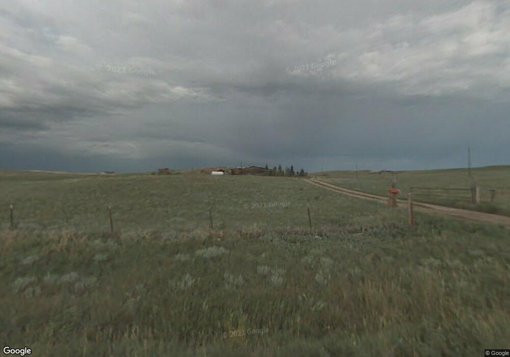
1127 Range Line Rd Cheyenne, WY 82009
Estimated Value: $380,690 - $506,000
--
Bed
1
Bath
1,584
Sq Ft
$267/Sq Ft
Est. Value
About This Home
This home is located at 1127 Range Line Rd, Cheyenne, WY 82009 and is currently estimated at $423,230, approximately $267 per square foot. 1127 Range Line Rd is a home with nearby schools including Gilchrist Elementary School, McCormick Junior High School, and Central High School.
Ownership History
Date
Name
Owned For
Owner Type
Purchase Details
Closed on
Jun 11, 2015
Sold by
Yeager Harriet M
Bought by
Burnham Robert L and Burnham Sheri R
Current Estimated Value
Purchase Details
Closed on
Dec 18, 2014
Sold by
Yeager Harriet M
Bought by
Heath David A
Purchase Details
Closed on
Sep 24, 1981
Sold by
Allen Harold A and Allen Kay F
Bought by
Yeager Lynn W and Yeager Harriet M
Create a Home Valuation Report for This Property
The Home Valuation Report is an in-depth analysis detailing your home's value as well as a comparison with similar homes in the area
Home Values in the Area
Average Home Value in this Area
Purchase History
| Date | Buyer | Sale Price | Title Company |
|---|---|---|---|
| Burnham Robert L | -- | Summit Title Services | |
| Heath David A | -- | Summit Title Services | |
| Yeager Lynn W | -- | None Available |
Source: Public Records
Tax History Compared to Growth
Tax History
| Year | Tax Paid | Tax Assessment Tax Assessment Total Assessment is a certain percentage of the fair market value that is determined by local assessors to be the total taxable value of land and additions on the property. | Land | Improvement |
|---|---|---|---|---|
| 2025 | $1,448 | $16,590 | $6,071 | $10,519 |
| 2024 | $1,448 | $21,543 | $8,095 | $13,448 |
| 2023 | $1,382 | $21,037 | $8,095 | $12,942 |
| 2022 | $1,145 | $17,040 | $6,297 | $10,743 |
| 2021 | $928 | $13,785 | $4,203 | $9,582 |
| 2020 | $767 | $11,431 | $2,957 | $8,474 |
| 2019 | $745 | $11,087 | $2,799 | $8,288 |
| 2018 | $717 | $10,779 | $2,799 | $7,980 |
| 2017 | $706 | $10,512 | $2,466 | $8,046 |
| 2016 | $709 | $10,554 | $2,401 | $8,153 |
| 2015 | $701 | $10,432 | $2,401 | $8,031 |
| 2014 | $725 | $10,710 | $2,419 | $8,291 |
Source: Public Records
Map
Nearby Homes
- 1100 Brundage Rd
- 1102 Dusty Rd
- 1113 Indiana Rd
- Lot 99 Tennessee Rd
- 985 Range Line Rd
- 0 Range Line Rd
- Tract 291 Boundary Rd
- TBD Boundary Rd
- Tract 295 S Carolina Rd
- Tract 300 S Carolina Rd
- 1207 Road 113
- 1092 Bade Rd
- Lot 346 Carribean Rd
- Lot 340 Carribean Rd
- Lot 366 Carribean Rd
- TBD Bade Rd
- Tract 234 Samoa Rd
- Tract 334 Bering Rd
- 1015 Bade Rd
- 1526 Fox Chase Rd
- 1211 Vermont Rd
- 1191 Vermont Rd
- 1214 Brundage Rd
- 1221 Vermont Rd
- 1218 Vermont Rd
- 1189 Vermont Rd
- 1192 Vermont Rd
- 1215 Brundage Rd
- 1190 Brundage Rd
- 1226 Brundage Rd
- 1148 Range Line Rd
- Tract 52 Brundage Rd
- 1151 Brundage Rd
- TBD Waterline Rd
- 1209 Brundage Rd
- 1233 Vermont Rd
- 1227 Brundage Rd
- 1187 Vermont Rd
- 1214 Water Line Rd
- 1234 Brundage Rd