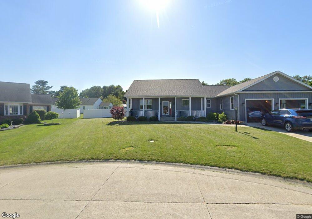
1127 Rikki Lee Ln Bucyrus, OH 44820
Estimated Value: $314,000 - $403,000
3
Beds
2
Baths
2,152
Sq Ft
$170/Sq Ft
Est. Value
About This Home
This home is located at 1127 Rikki Lee Ln, Bucyrus, OH 44820 and is currently estimated at $366,334, approximately $170 per square foot. 1127 Rikki Lee Ln is a home with nearby schools including Wynford Elementary School, Wynford High School, and Wayside Christian School.
Ownership History
Date
Name
Owned For
Owner Type
Purchase Details
Closed on
Jun 1, 2020
Sold by
Gerhart Ronald J and Gerhart Deborah K
Bought by
Rowland Gail G and Rowland Janet E
Current Estimated Value
Purchase Details
Closed on
Jun 18, 2014
Sold by
Gerhart Ronald J and Gerhart Deborah K
Bought by
Ronald J And Deborah K Gerhart Revocable
Purchase Details
Closed on
Apr 19, 2007
Sold by
Harter Builders Ltd
Bought by
Gerhart Ronald J and Gerhart Deborah K
Purchase Details
Closed on
Mar 4, 2003
Bought by
Harter Builders Ltd
Create a Home Valuation Report for This Property
The Home Valuation Report is an in-depth analysis detailing your home's value as well as a comparison with similar homes in the area
Home Values in the Area
Average Home Value in this Area
Purchase History
| Date | Buyer | Sale Price | Title Company |
|---|---|---|---|
| Rowland Gail G | $30,000 | Acs Title Bucyrus | |
| Ronald J And Deborah K Gerhart Revocable | -- | None Available | |
| Gerhart Ronald J | $79,500 | -- | |
| Harter Builders Ltd | -- | -- |
Source: Public Records
Tax History Compared to Growth
Tax History
| Year | Tax Paid | Tax Assessment Tax Assessment Total Assessment is a certain percentage of the fair market value that is determined by local assessors to be the total taxable value of land and additions on the property. | Land | Improvement |
|---|---|---|---|---|
| 2024 | $4,729 | $132,910 | $9,100 | $123,810 |
| 2023 | $4,729 | $101,770 | $6,920 | $94,850 |
| 2022 | $4,459 | $101,770 | $6,920 | $94,850 |
| 2021 | $4,632 | $101,770 | $6,920 | $94,850 |
| 2020 | $301 | $6,920 | $6,920 | $0 |
| 2019 | $310 | $6,920 | $6,920 | $0 |
| 2018 | $317 | $6,920 | $6,920 | $0 |
| 2017 | $308 | $6,920 | $6,920 | $0 |
| 2016 | $255 | $6,920 | $6,920 | $0 |
| 2015 | $259 | $6,920 | $6,920 | $0 |
| 2014 | $278 | $6,920 | $6,920 | $0 |
| 2013 | $278 | $6,920 | $6,920 | $0 |
Source: Public Records
Map
Nearby Homes
- 275 Brentwood St
- 130 Brentwood St
- 2440 Wyandot Rd
- 2273 Kerstetter Rd
- 1112 Hillcrest Dr
- 1123 Hillcrest Dr
- 1149 Farmview Dr
- 1145 Lynne Ave
- 0 Lynne Ave
- 1315 Lynne Ave
- 1555 Rosedale Ave
- 452 Pleasant Ln
- 325 W Liberty St
- 885 W Perry St
- 900 S Spring St
- 317 S Spring St
- 1211 S Sandusky Ave
- 316 W Warren St
- 1021 S Sandusky Ave
- 609 W Perry St
- 1131 Rikki Lee Ln
- 1125 Rikki Lee Ln
- 1123 Rikki Lee Ln
- 2336 Kerstetter Rd
- 2328 Kerstetter Rd
- 1119 Rikki Lee Ln
- 2338 Kerstetter Rd
- 1720 Flint Ave
- 1830 W Southern Ave
- 1840 W Southern Ave
- 1117 Rikki Lee Ln
- 1820 W Southern Ave
- 2340 Kerstetter Rd
- 1800 W Southern Ave
- 1115 Rikki Lee Ln
- 1116 Rikki Lee Ln
- 1740 W Southern Ave
- 1113 Rikki Lee Ln
- 2331 Kerstetter Rd
- 2333 Kerstetter Rd