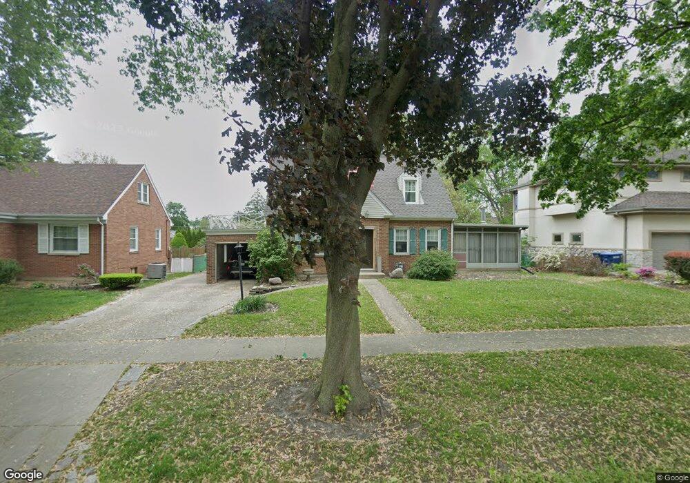
1127 S 2nd Ave Des Plaines, IL 60016
Estimated Value: $489,602 - $549,000
3
Beds
2
Baths
2,357
Sq Ft
$216/Sq Ft
Est. Value
About This Home
This home is located at 1127 S 2nd Ave, Des Plaines, IL 60016 and is currently estimated at $508,651, approximately $215 per square foot. 1127 S 2nd Ave is a home located in Cook County with nearby schools including Forest Elementary School, Algonquin Middle School, and Maine West High School.
Ownership History
Date
Name
Owned For
Owner Type
Purchase Details
Closed on
Nov 19, 1993
Sold by
Berg Donald A and Berg Susan H
Bought by
Gast James F and Gast Debora A
Current Estimated Value
Home Financials for this Owner
Home Financials are based on the most recent Mortgage that was taken out on this home.
Original Mortgage
$125,000
Interest Rate
6.92%
Create a Home Valuation Report for This Property
The Home Valuation Report is an in-depth analysis detailing your home's value as well as a comparison with similar homes in the area
Home Values in the Area
Average Home Value in this Area
Purchase History
| Date | Buyer | Sale Price | Title Company |
|---|---|---|---|
| Gast James F | $138,666 | -- |
Source: Public Records
Mortgage History
| Date | Status | Borrower | Loan Amount |
|---|---|---|---|
| Closed | Gast James F | $125,000 |
Source: Public Records
Tax History
| Year | Tax Paid | Tax Assessment Tax Assessment Total Assessment is a certain percentage of the fair market value that is determined by local assessors to be the total taxable value of land and additions on the property. | Land | Improvement |
|---|---|---|---|---|
| 2025 | $8,199 | $47,000 | $13,392 | $33,608 |
| 2024 | $8,199 | $34,412 | $11,160 | $23,252 |
| 2023 | $7,975 | $34,412 | $11,160 | $23,252 |
| 2022 | $7,975 | $34,412 | $11,160 | $23,252 |
| 2021 | $5,846 | $22,350 | $8,928 | $13,422 |
| 2020 | $5,817 | $22,350 | $8,928 | $13,422 |
| 2019 | $5,760 | $24,834 | $8,928 | $15,906 |
| 2018 | $7,884 | $29,798 | $7,812 | $21,986 |
| 2017 | $7,763 | $29,798 | $7,812 | $21,986 |
| 2016 | $7,586 | $29,798 | $7,812 | $21,986 |
| 2015 | $7,494 | $27,412 | $6,696 | $20,716 |
| 2014 | $7,352 | $27,412 | $6,696 | $20,716 |
| 2013 | $7,151 | $27,412 | $6,696 | $20,716 |
Source: Public Records
Map
Nearby Homes
- 1162 W Grant Dr
- 1394 Carol Ln
- 674 E Algonquin Rd
- 1080 Bogart St
- 980 W Grant Dr
- 886 E Thacker St
- 1380 Oakwood Ave Unit 306
- 1205 S Wolf Rd
- 900 Center St Unit 3A
- 799 Graceland Ave Unit 404A
- 1107 E Prairie Ave
- 905 Center St Unit B208
- 787 Graceland Ave Unit 202B
- 1122 Alfini Dr
- 815 E Oakton St Unit 311
- 821 Lexington Cir E
- 1524 Oakwood Ave
- 1561 E Walnut Ave
- 1673 Spruce Ave
- 664 E Oakton St
- 1119 S 2nd Ave
- 1139 S 2nd Ave
- 1107 S 2nd Ave
- 1155 S 2nd Ave
- 1101 S 2nd Ave
- 1130 Margret St
- 1124 Margret St
- 1138 Margret St
- 1161 S 2nd Ave
- 1114 Margret St
- 1144 Margret St
- 1114 S 2nd Ave
- 1126 S 2nd Ave
- 1110 S 2nd Ave
- 1071 S 2nd Ave
- 1132 S 2nd Ave
- 1104 Margret St
- 1152 Margret St
- 1169 S 2nd Ave
- 1098 S 2nd Ave
Your Personal Tour Guide
Ask me questions while you tour the home.