2
Beds
1
Bath
1,084
Sq Ft
--
Built
About This Home
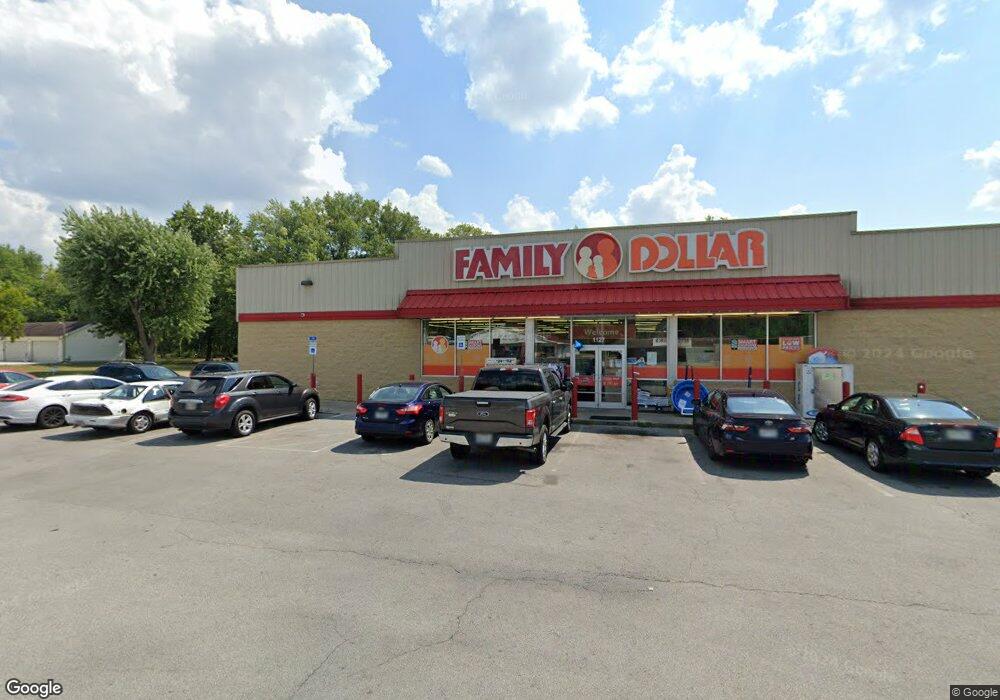
This home is located at 1127 W Robb Ave, Lima, OH 45801. 1127 W Robb Ave is a home located in Allen County with nearby schools including Elida Elementary School, Elida Middle School, and Elida High School.
Ownership History
Date
Name
Owned For
Owner Type
Purchase Details
Closed on
Nov 7, 2024
Sold by
Exchangeright Net Leased Portfolio 4 Dst
Bought by
Exchange Right Essential Income 1 Dst
Purchase Details
Closed on
Sep 19, 2013
Sold by
Exchangeright Net Leased Portfolio 4 Llc
Bought by
Exchangeright Net Leadsed Portfolio 4 Ds
Purchase Details
Closed on
Sep 27, 2012
Sold by
Foust Betty Jo
Bought by
South Street Properties Llc
Purchase Details
Closed on
Aug 20, 1993
Sold by
Fought Betty Gail
Bought by
Fought Joseph J
Purchase Details
Closed on
Jan 1, 1990
Bought by
Fought Betty Gail
Create a Home Valuation Report for This Property
The Home Valuation Report is an in-depth analysis detailing your home's value as well as a comparison with similar homes in the area
Purchase History
| Date | Buyer | Sale Price | Title Company |
|---|---|---|---|
| Exchange Right Essential Income 1 Dst | -- | None Listed On Document | |
| Exchangeright Net Leadsed Portfolio 4 Ds | -- | None Available | |
| South Street Properties Llc | $258,000 | Attorney | |
| Fought Joseph J | -- | -- | |
| Fought Betty Gail | -- | -- |
Source: Public Records
Tax History
| Year | Tax Paid | Tax Assessment Tax Assessment Total Assessment is a certain percentage of the fair market value that is determined by local assessors to be the total taxable value of land and additions on the property. | Land | Improvement |
|---|---|---|---|---|
| 2024 | $12,308 | $214,700 | $54,920 | $159,780 |
| 2023 | $12,288 | $195,160 | $49,910 | $145,250 |
| 2022 | $12,520 | $195,160 | $49,910 | $145,250 |
| 2021 | $12,491 | $195,160 | $49,910 | $145,250 |
| 2020 | $12,904 | $192,440 | $35,180 | $157,260 |
| 2019 | $12,904 | $192,440 | $35,180 | $157,260 |
| 2018 | $12,732 | $192,440 | $35,180 | $157,260 |
| 2017 | $12,473 | $192,440 | $35,180 | $157,260 |
| 2016 | $12,501 | $192,440 | $35,180 | $157,260 |
| 2015 | $12,491 | $192,440 | $35,180 | $157,260 |
| 2014 | $12,809 | $199,610 | $38,220 | $161,390 |
| 2013 | $312 | $6,160 | $6,160 | $0 |
Source: Public Records
Map
Nearby Homes
- 1164 Bahama Dr
- 1027 Sherman Ave
- 1580 W Robb Ave
- 760 W O'Connor Ave
- 1883 Brookhaven Dr Unit 2
- 1015 N Cole St
- 0 Latham
- 645 W O'Connor Ave
- 745 Ewing Ave
- 1212 Virginia Ave
- 1317 Virginia Ave
- 608 W O'Connor Ave
- 1245 Latham Ave
- 1407 Latham Ave
- 1889 N Metcalf St
- 576 W Ashton Ave
- 557 W Ashton Ave
- 841 N Baxter St
- 949 Leland Ave
- 1143 Brower Rd
- 1213 W Robb Ave
- 1125 W Robb Ave
- 1121 W Robb Ave
- 1134 W Robb Ave
- 1206 W Robb Ave
- 1214 W Robb Ave
- 1208 W Robb Ave
- 1119 W Robb Ave
- 1128 W Robb Ave
- 1450 N Cole St Unit A
- 1450 N Cole St
- 1122 W Robb Ave
- 1109 W Robb Ave
- 1560 N Cole St
- N/A N Cole St
- 1505 N Cole St
- 1487 N Cole St
- 1455 N Cole St
- 1301 W Robb Ave
Your Personal Tour Guide
Ask me questions while you tour the home.