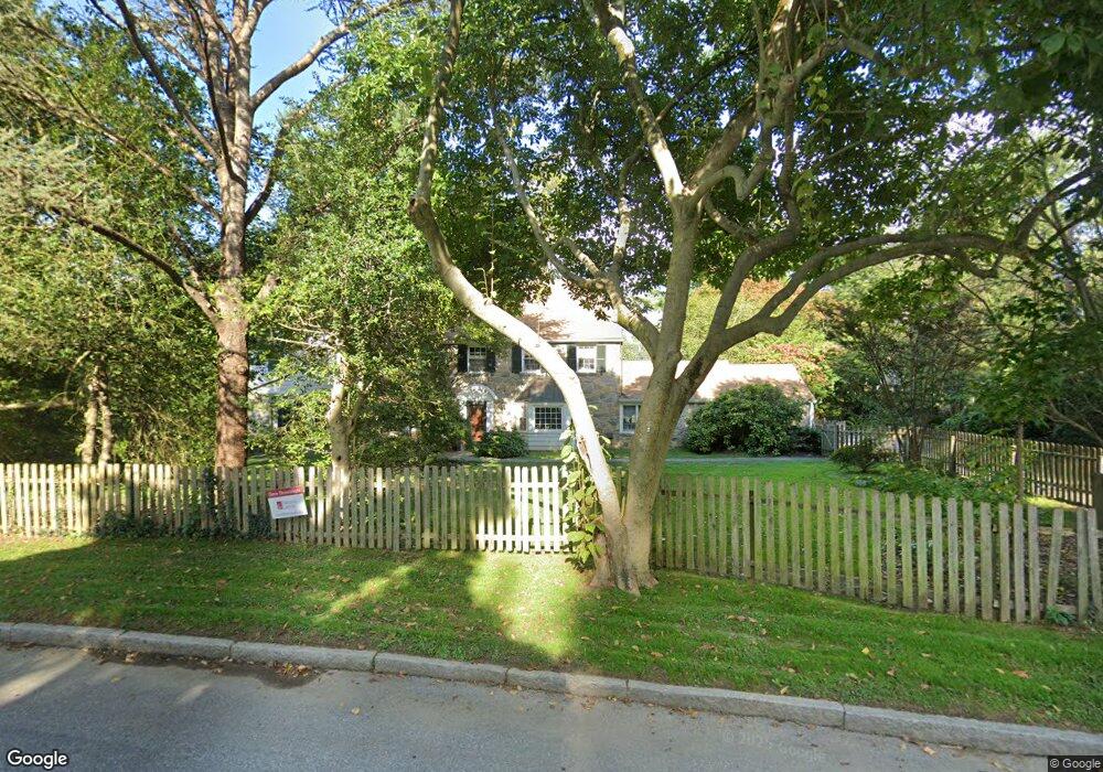
1127 Wyndon Ave Unit 244 Bryn Mawr, PA 19010
Rosemont NeighborhoodEstimated Value: $1,049,000 - $1,349,000
4
Beds
4
Baths
2,790
Sq Ft
$444/Sq Ft
Est. Value
About This Home
This home is located at 1127 Wyndon Ave Unit 244, Bryn Mawr, PA 19010 and is currently estimated at $1,239,969, approximately $444 per square foot. 1127 Wyndon Ave Unit 244 is a home located in Montgomery County with nearby schools including Welsh Valley Middle School, Harriton Senior High School, and The Shipley School.
Ownership History
Date
Name
Owned For
Owner Type
Purchase Details
Closed on
Aug 21, 2006
Sold by
Letter Timothy P and Letter Michelle S
Bought by
Logue James G and Logue Marie T
Current Estimated Value
Home Financials for this Owner
Home Financials are based on the most recent Mortgage that was taken out on this home.
Original Mortgage
$792,000
Outstanding Balance
$471,097
Interest Rate
6.59%
Estimated Equity
$768,872
Purchase Details
Closed on
Oct 16, 1997
Sold by
Neumann Paul M and Neumann Sandra M
Bought by
Letter Timothy P and Letter Michelle S
Create a Home Valuation Report for This Property
The Home Valuation Report is an in-depth analysis detailing your home's value as well as a comparison with similar homes in the area
Home Values in the Area
Average Home Value in this Area
Purchase History
| Date | Buyer | Sale Price | Title Company |
|---|---|---|---|
| Logue James G | -- | None Available | |
| Letter Timothy P | $430,000 | -- |
Source: Public Records
Mortgage History
| Date | Status | Borrower | Loan Amount |
|---|---|---|---|
| Open | Logue James G | $792,000 |
Source: Public Records
Tax History Compared to Growth
Tax History
| Year | Tax Paid | Tax Assessment Tax Assessment Total Assessment is a certain percentage of the fair market value that is determined by local assessors to be the total taxable value of land and additions on the property. | Land | Improvement |
|---|---|---|---|---|
| 2025 | $18,638 | $446,260 | $269,330 | $176,930 |
| 2024 | $18,638 | $446,260 | $269,330 | $176,930 |
| 2023 | $17,860 | $446,260 | $269,330 | $176,930 |
| 2022 | $17,529 | $446,260 | $269,330 | $176,930 |
| 2021 | $17,130 | $446,260 | $269,330 | $176,930 |
| 2020 | $16,711 | $446,260 | $269,330 | $176,930 |
| 2019 | $16,416 | $446,260 | $269,330 | $176,930 |
| 2018 | $16,417 | $446,260 | $269,330 | $176,930 |
| 2017 | $15,813 | $446,260 | $269,330 | $176,930 |
| 2016 | $15,640 | $446,260 | $269,330 | $176,930 |
| 2015 | $14,582 | $446,260 | $269,330 | $176,930 |
| 2014 | $14,582 | $446,260 | $269,330 | $176,930 |
Source: Public Records
Map
Nearby Homes
- 922 Montgomery Ave Unit B2
- 311 Millbank Rd
- 28 S Warner Ave
- 27 S Merion Ave
- 50 Prospect Ave
- 75 S Merion Ave
- 1030 E Lancaster Ave Unit 216
- 1030 E Lancaster Ave Unit 923
- 741 County Line Rd
- 68 Garrett Ave
- 716 Old Gulph Rd
- 601 Montgomery Ave Unit 204
- 189 Meredith Ave
- 131 Fairfax Rd
- 1962 Montgomery Ave
- 530 New Gulph Rd
- 815 Penn St
- 145 Landover Rd
- 543 Avonwood Rd
- 717 N Spring Mill Rd
- 208 Airdale Rd
- 201 Wakefield Rd
- 1128 Wyndon Ave
- 209 Wakefield Rd
- 1122 Wyndon Ave
- 215 Wakefield Rd
- 214 Airdale Rd
- 147 Airdale Rd
- 212 Wakefield Rd Unit 40
- 1114 Wyndon Ave Unit 213
- 1109 Wyndon Ave
- 1123 Ashbridge Rd
- 216 Wakefield Rd
- 1129 Ashbridge Rd
- 155 Airdale Rd
- 1115 Ashbridge Rd
- 141 Airdale Rd
- 1110 Wyndon Ave
- 1101 Wyndon Ave
- 212 N Roberts Rd