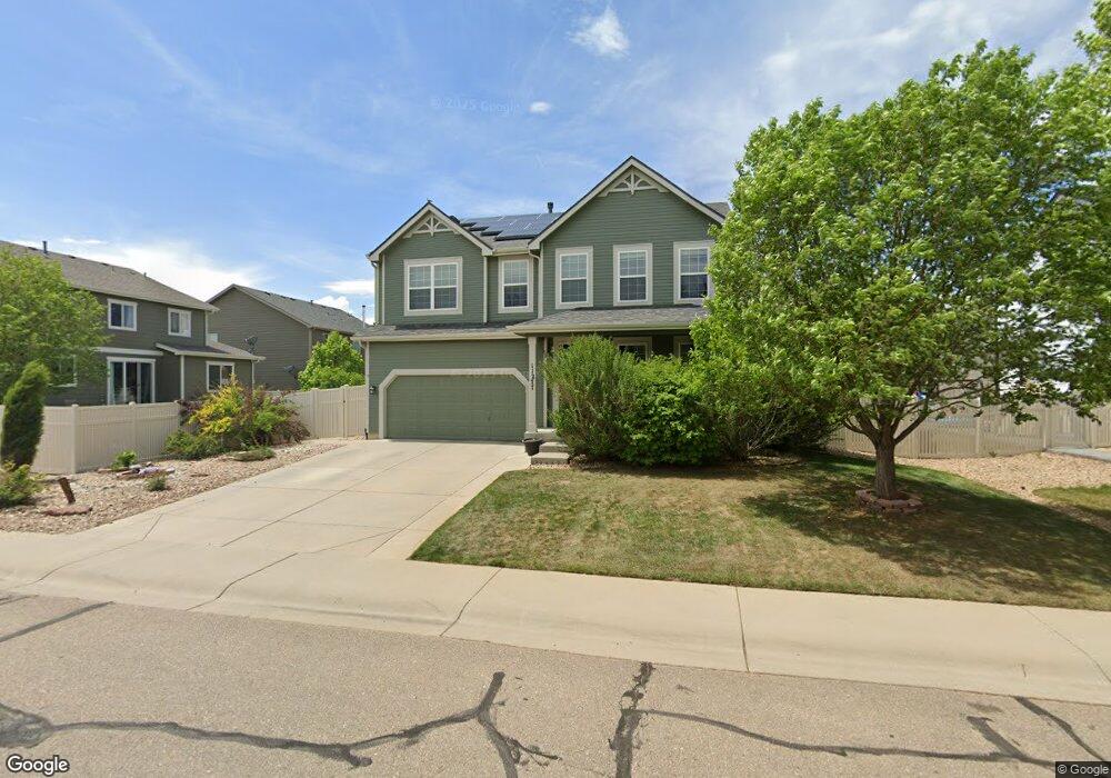
11277 Coal Ridge St Firestone, CO 80504
Estimated Value: $577,000 - $622,000
4
Beds
4
Baths
2,400
Sq Ft
$249/Sq Ft
Est. Value
About This Home
This home is located at 11277 Coal Ridge St, Firestone, CO 80504 and is currently estimated at $598,682, approximately $249 per square foot. 11277 Coal Ridge St is a home located in Weld County with nearby schools including Centennial Elementary School, Coal Ridge Middle School, and Mead High School.
Ownership History
Date
Name
Owned For
Owner Type
Purchase Details
Closed on
Dec 3, 2020
Sold by
Crouse Jordan and Crouse Stacee
Bought by
Jordan H Crouse Revocable Trust
Current Estimated Value
Home Financials for this Owner
Home Financials are based on the most recent Mortgage that was taken out on this home.
Original Mortgage
$226,000
Outstanding Balance
$201,207
Interest Rate
2.7%
Mortgage Type
New Conventional
Estimated Equity
$397,475
Purchase Details
Closed on
Sep 14, 2004
Sold by
Neumann Homes Of Colorado Llc
Bought by
Crouse Jordan and Crouse Stacee
Home Financials for this Owner
Home Financials are based on the most recent Mortgage that was taken out on this home.
Original Mortgage
$202,129
Interest Rate
5.86%
Mortgage Type
Unknown
Create a Home Valuation Report for This Property
The Home Valuation Report is an in-depth analysis detailing your home's value as well as a comparison with similar homes in the area
Home Values in the Area
Average Home Value in this Area
Purchase History
| Date | Buyer | Sale Price | Title Company |
|---|---|---|---|
| Jordan H Crouse Revocable Trust | -- | None Available | |
| Crouse Jordan | $252,662 | Land Title Guarantee Company |
Source: Public Records
Mortgage History
| Date | Status | Borrower | Loan Amount |
|---|---|---|---|
| Open | Jordan H Crouse Revocable Trust | $226,000 | |
| Closed | Crouse Jordan | $202,129 | |
| Closed | Crouse Jordan | $25,266 |
Source: Public Records
Tax History Compared to Growth
Tax History
| Year | Tax Paid | Tax Assessment Tax Assessment Total Assessment is a certain percentage of the fair market value that is determined by local assessors to be the total taxable value of land and additions on the property. | Land | Improvement |
|---|---|---|---|---|
| 2025 | $3,635 | $35,970 | $7,380 | $28,590 |
| 2024 | $3,635 | $35,970 | $7,380 | $28,590 |
| 2023 | $3,486 | $38,870 | $7,980 | $30,890 |
| 2022 | $3,162 | $30,230 | $5,630 | $24,600 |
| 2021 | $3,193 | $31,100 | $5,790 | $25,310 |
| 2020 | $2,857 | $28,050 | $4,290 | $23,760 |
| 2019 | $2,899 | $28,050 | $4,290 | $23,760 |
| 2018 | $2,610 | $26,210 | $4,320 | $21,890 |
| 2017 | $2,668 | $26,210 | $4,320 | $21,890 |
| 2016 | $2,269 | $21,930 | $4,460 | $17,470 |
| 2015 | $2,200 | $21,930 | $4,460 | $17,470 |
| 2014 | $1,849 | $18,450 | $3,260 | $15,190 |
Source: Public Records
Map
Nearby Homes
- 11449 Coal Ridge St
- 11150 Coal Mine St
- 6055 Ulysses Ave
- 5891 Vinca Ave
- 6166 Valley Vista Ave
- 6183 Union Ct
- 6188 Viewpoint Ave
- 6188 Twilight Ave
- 11226 Dover St
- 10905 Colorado Blvd
- 10818 Cimarron St Unit 302
- 10818 Cimarron St Unit 1102
- 10818 Cimarron St Unit 1203
- 10818 Cimarron St Unit 307
- 11232 Ebony St
- 11430 Ebony St
- 11470 Ebony St
- 6446 Union Ave
- 10497 Booth Dr
- 10521 Taylor Ave
- 11291 Coal Ridge St
- 5887 Oak Meadows Blvd
- 5873 Oak Meadows Blvd
- 11274 Coal Mine St
- 11313 Coal Ridge St
- 11294 Coal Mine St
- 5861 Oak Meadows Blvd
- 11276 Coal Ridge St
- 5913 Oak Meadows Blvd
- 11298 Coal Ridge St
- 11310 Coal Ridge St
- 11325 Coal Ridge St
- 5927 Oak Meadows Blvd
- 5888 Oak Meadows Blvd
- 5874 Oak Meadows Blvd
- 11322 Coal Ridge St
- 11291 Coal Mine St
- 11318 Coal Mine St
- 5833 Oak Meadows Blvd
- 5862 Oak Meadows Blvd