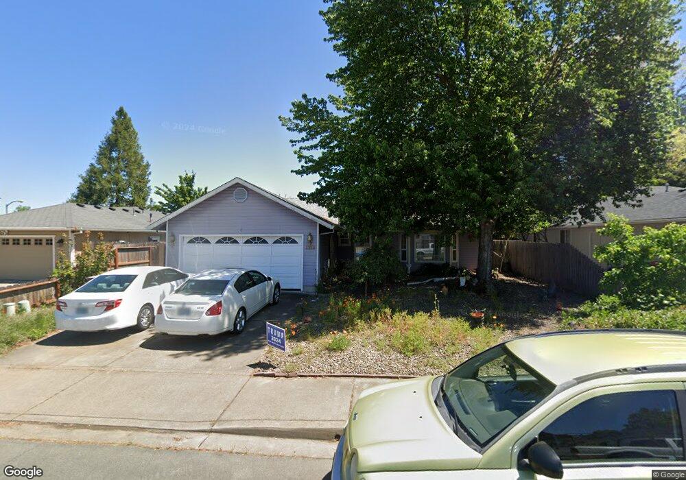
1128 Hampton Dr Central Point, OR 97502
Estimated Value: $365,896 - $393,000
3
Beds
2
Baths
1,300
Sq Ft
$291/Sq Ft
Est. Value
About This Home
This home is located at 1128 Hampton Dr, Central Point, OR 97502 and is currently estimated at $378,474, approximately $291 per square foot. 1128 Hampton Dr is a home located in Jackson County with nearby schools including Central Point Elementary School, Scenic Middle School, and Crater High School.
Ownership History
Date
Name
Owned For
Owner Type
Purchase Details
Closed on
Sep 15, 1999
Sold by
Eiynck Randall A
Bought by
Chandler Donald and Chandler Helen Ann
Current Estimated Value
Home Financials for this Owner
Home Financials are based on the most recent Mortgage that was taken out on this home.
Original Mortgage
$103,250
Outstanding Balance
$29,122
Interest Rate
7.89%
Estimated Equity
$349,352
Create a Home Valuation Report for This Property
The Home Valuation Report is an in-depth analysis detailing your home's value as well as a comparison with similar homes in the area
Purchase History
| Date | Buyer | Sale Price | Title Company |
|---|---|---|---|
| Chandler Donald | $121,500 | Key Title Company |
Source: Public Records
Mortgage History
| Date | Status | Borrower | Loan Amount |
|---|---|---|---|
| Open | Chandler Donald | $103,250 |
Source: Public Records
Tax History
| Year | Tax Paid | Tax Assessment Tax Assessment Total Assessment is a certain percentage of the fair market value that is determined by local assessors to be the total taxable value of land and additions on the property. | Land | Improvement |
|---|---|---|---|---|
| 2026 | $3,131 | $189,230 | -- | -- |
| 2025 | $3,054 | $183,720 | $52,860 | $130,860 |
| 2024 | $3,054 | $178,370 | $51,320 | $127,050 |
| 2023 | $2,956 | $173,180 | $49,830 | $123,350 |
| 2022 | $2,887 | $173,180 | $49,830 | $123,350 |
| 2021 | $2,805 | $168,140 | $48,380 | $119,760 |
| 2020 | $2,723 | $163,250 | $46,970 | $116,280 |
| 2019 | $2,656 | $153,890 | $44,270 | $109,620 |
| 2018 | $2,575 | $149,410 | $42,980 | $106,430 |
| 2017 | $2,510 | $149,410 | $42,980 | $106,430 |
| 2016 | $2,437 | $140,840 | $40,510 | $100,330 |
| 2015 | $2,335 | $140,840 | $40,510 | $100,330 |
| 2014 | $2,276 | $132,760 | $38,190 | $94,570 |
Source: Public Records
Map
Nearby Homes
- 1025 Fairfield Ave
- 105 Queens Gate Ct
- 1258 Joshua Ct
- 959 Westrop Dr
- 992 Glengrove Ave
- 918 Brandi Way
- 1204 Heather Ln
- 533 Brittni Ln
- 512 Village Dr Unit B5
- 1283 Far West Ave Unit 3
- 3358 Bursell Rd
- 3364 Bursell Rd
- 460 Federal Way
- 736 Hemlock Ave
- 2825 Howard Ave
- 402 Emerald Cir
- 2817 Howard Ave
- 412 Morningside St
- 171 Mellecker Way
- 199 Mellecker Way
- 1124 Hampton Dr
- 1134 Hampton Dr
- 1175 White Chapel Dr
- 1179 White Chapel Dr
- 1171 White Chapel Dr
- 1181 White Chapel Dr
- 1127 Hampton Dr
- 1131 Hampton Dr
- 1123 Hampton Dr
- 1138 Hampton Dr
- 1108 Hampton Dr
- 1135 Hampton Dr
- 1185 White Chapel Dr
- 1125 Pittview Ave
- 1142 Hampton Dr
- 1087 Pittview Ave
- 1106 Hampton Dr
- 1163 White Chapel Dr
- 1139 Hampton Dr
- 1139 Mayfair Place
Your Personal Tour Guide
Ask me questions while you tour the home.