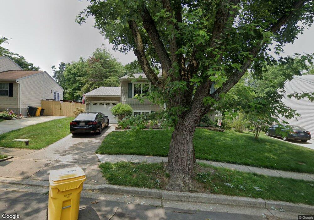
1128 Silverleaf Dr Arnold, MD 21012
Estimated Value: $449,114 - $574,000
Studio
2
Baths
1,621
Sq Ft
$322/Sq Ft
Est. Value
About This Home
This home is located at 1128 Silverleaf Dr, Arnold, MD 21012 and is currently estimated at $521,529, approximately $321 per square foot. 1128 Silverleaf Dr is a home located in Anne Arundel County with nearby schools including Broadneck Elementary School, Magothy River Middle School, and Broadneck High School.
Ownership History
Date
Name
Owned For
Owner Type
Purchase Details
Closed on
Sep 7, 1994
Sold by
Moran Martin S
Bought by
Partain George S
Current Estimated Value
Home Financials for this Owner
Home Financials are based on the most recent Mortgage that was taken out on this home.
Original Mortgage
$145,800
Interest Rate
8.54%
Purchase Details
Closed on
Feb 21, 1991
Sold by
Burd William R
Bought by
Moran Martin S
Home Financials for this Owner
Home Financials are based on the most recent Mortgage that was taken out on this home.
Original Mortgage
$124,550
Interest Rate
9.25%
Create a Home Valuation Report for This Property
The Home Valuation Report is an in-depth analysis detailing your home's value as well as a comparison with similar homes in the area
Home Values in the Area
Average Home Value in this Area
Purchase History
| Date | Buyer | Sale Price | Title Company |
|---|---|---|---|
| Partain George S | $153,500 | -- | |
| Moran Martin S | $137,000 | -- |
Source: Public Records
Mortgage History
| Date | Status | Borrower | Loan Amount |
|---|---|---|---|
| Open | Partain George S | $50,000 | |
| Closed | Partain George S | $145,800 | |
| Previous Owner | Moran Martin S | $124,550 |
Source: Public Records
Tax History
| Year | Tax Paid | Tax Assessment Tax Assessment Total Assessment is a certain percentage of the fair market value that is determined by local assessors to be the total taxable value of land and additions on the property. | Land | Improvement |
|---|---|---|---|---|
| 2025 | $3,312 | $405,500 | -- | -- |
| 2024 | $3,312 | $379,200 | $230,300 | $148,900 |
| 2023 | $3,223 | $374,167 | $0 | $0 |
| 2022 | $3,019 | $369,133 | $0 | $0 |
| 2020 | $2,878 | $355,200 | $0 | $0 |
| 2019 | $2,829 | $346,300 | $0 | $0 |
| 2018 | $3,421 | $337,400 | $172,700 | $164,700 |
| 2017 | $2,673 | $334,067 | $0 | $0 |
| 2016 | -- | $330,733 | $0 | $0 |
| 2015 | -- | $327,400 | $0 | $0 |
| 2014 | -- | $319,467 | $0 | $0 |
Source: Public Records
Map
Nearby Homes
- 1108 Silverleaf Dr
- 453 Knottwood Ct
- 930 Whitstable Blvd
- 876 Nancy Lynn Ln
- 308 Clifton Ave
- 1233 Birchcrest Ct
- 1050 Brightleaf Dr
- 1078 Brightleaf Ct
- 312 Rosslare Dr
- 1082 Brightleaf Ct
- 1176 White Coral Ct
- 434 College Pkwy
- 554 Melissa Ct
- 319 Alameda Pkwy
- 291 Waycross Way
- 289 College Manor Dr
- 404 Alameda Pkwy
- 525 Loughton Ln
- 394 Kings College Dr
- 807 Brechin Garth
- 1126 Silverleaf Dr
- 1130 Silverleaf Dr
- 1124 Silverleaf Dr
- 1134 Silverleaf Dr
- 1135 Silverleaf Dr
- 1133 Silverleaf Dr
- 1122 Silverleaf Dr
- 1131 Silverleaf Dr
- 1136 Silverleaf Dr
- 1137 Silverleaf Dr
- 291 Overleaf Ct
- 1129 Silverleaf Dr
- 293 Overleaf Ct
- 289 Overleaf Ct
- 1139 Silverleaf Dr
- 1138 Silverleaf Dr
- 295 Overleaf Ct
- 1127 Silverleaf Dr
- 351 Ternwing Ct
- 1140 Silverleaf Dr
Your Personal Tour Guide
Ask me questions while you tour the home.