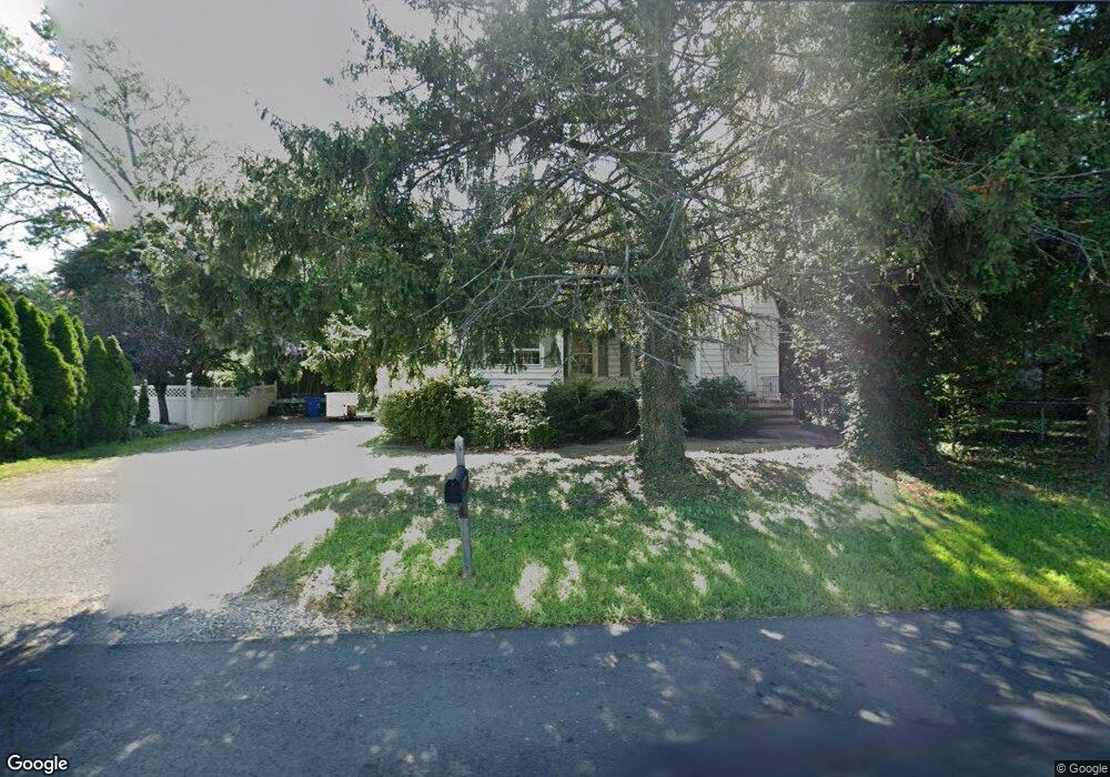
1128 Us Highway 130 North Brunswick, NJ 08902
Estimated Value: $477,722 - $578,000
--
Bed
--
Bath
1,544
Sq Ft
$346/Sq Ft
Est. Value
About This Home
This home is located at 1128 Us Highway 130, North Brunswick, NJ 08902 and is currently estimated at $534,431, approximately $346 per square foot. 1128 Us Highway 130 is a home located in Middlesex County with nearby schools including Arthur M. Judd Elementary School, Linwood Middle School, and North Brunswick Twp High School.
Ownership History
Date
Name
Owned For
Owner Type
Purchase Details
Closed on
Dec 6, 2001
Sold by
Shamy Francis
Bought by
Womack Francis and Womack Carol
Current Estimated Value
Home Financials for this Owner
Home Financials are based on the most recent Mortgage that was taken out on this home.
Original Mortgage
$192,000
Outstanding Balance
$76,527
Interest Rate
6.84%
Estimated Equity
$457,904
Create a Home Valuation Report for This Property
The Home Valuation Report is an in-depth analysis detailing your home's value as well as a comparison with similar homes in the area
Home Values in the Area
Average Home Value in this Area
Purchase History
| Date | Buyer | Sale Price | Title Company |
|---|---|---|---|
| Womack Francis | $240,000 | -- |
Source: Public Records
Mortgage History
| Date | Status | Borrower | Loan Amount |
|---|---|---|---|
| Open | Womack Francis | $192,000 |
Source: Public Records
Tax History Compared to Growth
Tax History
| Year | Tax Paid | Tax Assessment Tax Assessment Total Assessment is a certain percentage of the fair market value that is determined by local assessors to be the total taxable value of land and additions on the property. | Land | Improvement |
|---|---|---|---|---|
| 2025 | $8,503 | $134,200 | $53,100 | $81,100 |
| 2024 | $8,350 | $134,200 | $53,100 | $81,100 |
| 2023 | $8,350 | $134,200 | $53,100 | $81,100 |
| 2022 | $8,065 | $134,200 | $53,100 | $81,100 |
| 2021 | $5,877 | $134,200 | $53,100 | $81,100 |
| 2020 | $7,765 | $134,200 | $53,100 | $81,100 |
| 2019 | $7,606 | $134,200 | $53,100 | $81,100 |
| 2018 | $7,451 | $134,200 | $53,100 | $81,100 |
| 2017 | $7,319 | $134,200 | $53,100 | $81,100 |
| 2016 | $7,166 | $134,200 | $53,100 | $81,100 |
| 2015 | $7,044 | $134,200 | $53,100 | $81,100 |
| 2014 | $6,965 | $134,200 | $53,100 | $81,100 |
Source: Public Records
Map
Nearby Homes
- 1088 S Boyd Pkwy
- 1123 N Boyd Pkwy
- 386 Franklin Rd
- 422 Franklin Rd
- 1290 Barkley Place N
- 910 Curtis Place
- 2 Kohlhepp Ave
- 41 Lynn Ct
- 303 Constitution Cir
- 334 Constitution Cir
- 276 Constitution Cir
- 2 Silver Hollow
- 18 Harrison Ave
- 32 Lafayette Ct
- 796 Curie Rd
- 224 Pennsylvania Way
- 173 N Main St
- 149 Pennsylvania Way
- 167-169 N Main St
- 110 W Church St
- 1118 Us Highway 130
- 347 Independence Blvd
- 333 Independence Blvd
- 1108 Us Highway 130
- 358 Farrington Blvd
- 1119 Us Highway 130
- 370 Farrington Blvd
- 350 Farrington Blvd
- 1119 U S 130
- 375 Independence Blvd
- 321 Independence Blvd
- 350 Independence Blvd
- 346 Independence Blvd
- 1100 Kearney Dr
- 1103 U S 130
- 1095 Us Highway 130
- 1103 Us Highway 130
- 338 Independence Blvd
- 332 Independence Blvd
- 1132 S Boyd Pkwy