1128 Walnut Grove Dr Norton Shores, MI 49441
Estimated Value: $242,845 - $291,000
2
Beds
2
Baths
1,110
Sq Ft
$234/Sq Ft
Est. Value
About This Home
This home is located at 1128 Walnut Grove Dr, Norton Shores, MI 49441 and is currently estimated at $259,711, approximately $233 per square foot. 1128 Walnut Grove Dr is a home located in Muskegon County with nearby schools including Mona Shores High School, Edgewood Elementary Academy, and Dr. Martin Luther King Academy.
Ownership History
Date
Name
Owned For
Owner Type
Purchase Details
Closed on
Jul 19, 2004
Sold by
Broge Eugene and Vanderstelt Blanche
Bought by
Broge Eugene F and Vanderstelt Blanche I
Current Estimated Value
Purchase Details
Closed on
Aug 21, 2003
Sold by
Yerkie Margaret J and Margaret J Yerkie Living Trust
Bought by
Broge Eugene and Vanderstelt Blanche
Home Financials for this Owner
Home Financials are based on the most recent Mortgage that was taken out on this home.
Original Mortgage
$53,000
Interest Rate
6.33%
Mortgage Type
Purchase Money Mortgage
Create a Home Valuation Report for This Property
The Home Valuation Report is an in-depth analysis detailing your home's value as well as a comparison with similar homes in the area
Home Values in the Area
Average Home Value in this Area
Purchase History
| Date | Buyer | Sale Price | Title Company |
|---|---|---|---|
| Broge Eugene F | -- | Rei | |
| Broge Eugene | -- | -- |
Source: Public Records
Mortgage History
| Date | Status | Borrower | Loan Amount |
|---|---|---|---|
| Closed | Broge Eugene | $53,000 |
Source: Public Records
Tax History Compared to Growth
Tax History
| Year | Tax Paid | Tax Assessment Tax Assessment Total Assessment is a certain percentage of the fair market value that is determined by local assessors to be the total taxable value of land and additions on the property. | Land | Improvement |
|---|---|---|---|---|
| 2025 | $2,494 | $115,600 | $0 | $0 |
| 2024 | $1,955 | $107,600 | $0 | $0 |
| 2023 | $1,867 | $95,500 | $0 | $0 |
| 2022 | $2,276 | $83,400 | $0 | $0 |
| 2021 | $2,212 | $78,200 | $0 | $0 |
| 2020 | $2,187 | $73,800 | $0 | $0 |
| 2019 | $2,147 | $68,700 | $0 | $0 |
| 2018 | $2,096 | $60,400 | $0 | $0 |
| 2017 | $2,048 | $61,900 | $0 | $0 |
| 2016 | $1,586 | $59,800 | $0 | $0 |
| 2015 | -- | $53,500 | $0 | $0 |
| 2014 | $2,803 | $51,800 | $0 | $0 |
| 2013 | -- | $50,900 | $0 | $0 |
Source: Public Records
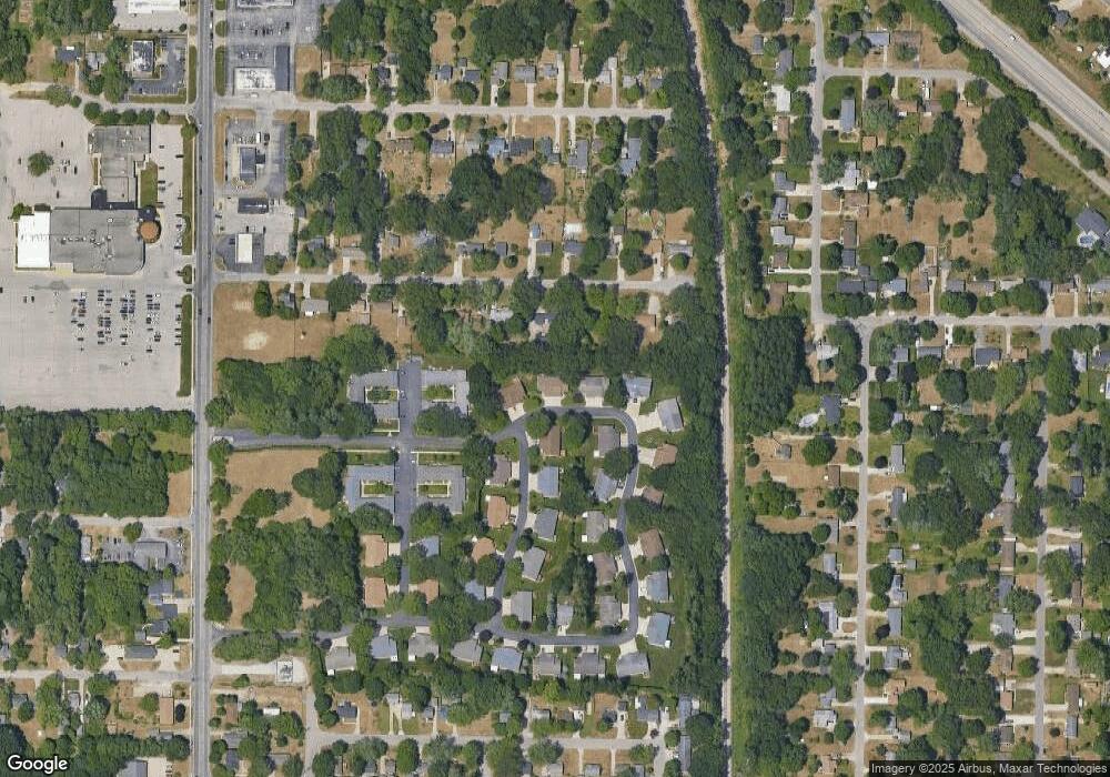
Map
Nearby Homes
- 4468 Spruce Ct
- 1130 Englewood Ave
- 1068 Englewood Ave
- 4476 Cedar Ln Unit 54
- 1067 Aspen Dr
- V/L 4535 Thompson Rd
- 4535 Thompson Rd
- 1065 Wilson Ct
- 945 Petrie Ave
- 4638 Lauren Dr
- 1201 Shettler Rd
- 1454 Airport Rd
- 4060 Buck St
- 4102 Highgate Rd
- 4677 Harvey St
- 4769 Harvey St
- 3920 Highgate Rd
- 1404 E Ellis Rd
- V/L E Ellis Rd
- 3835 Molly Blvd
- 1120 Walnut Grove Dr
- 1136 Walnut Grove Dr
- 1140 Walnut Grove Dr
- 1112 Walnut Grove Dr
- 4422 Cedar Ln
- 1108 Walnut Grove Dr
- 4426 Cedar Ln
- 4426 Cedar Ln Unit 38
- 1158 Walnut Grove Dr
- 1078 Walnut Grove Dr
- 1107 Vick Rd
- 4421 Hickory Ln Unit 84
- 1137 Vick Rd
- 1162 Walnut Grove Dr
- 1076 Walnut Grove Dr
- 4425 Hickory Ln
- 4434 Cedar Ln
- 1074 Walnut Grove Dr
- 4431 Cedar Ln
- 4431 Cedar Ln Unit 40