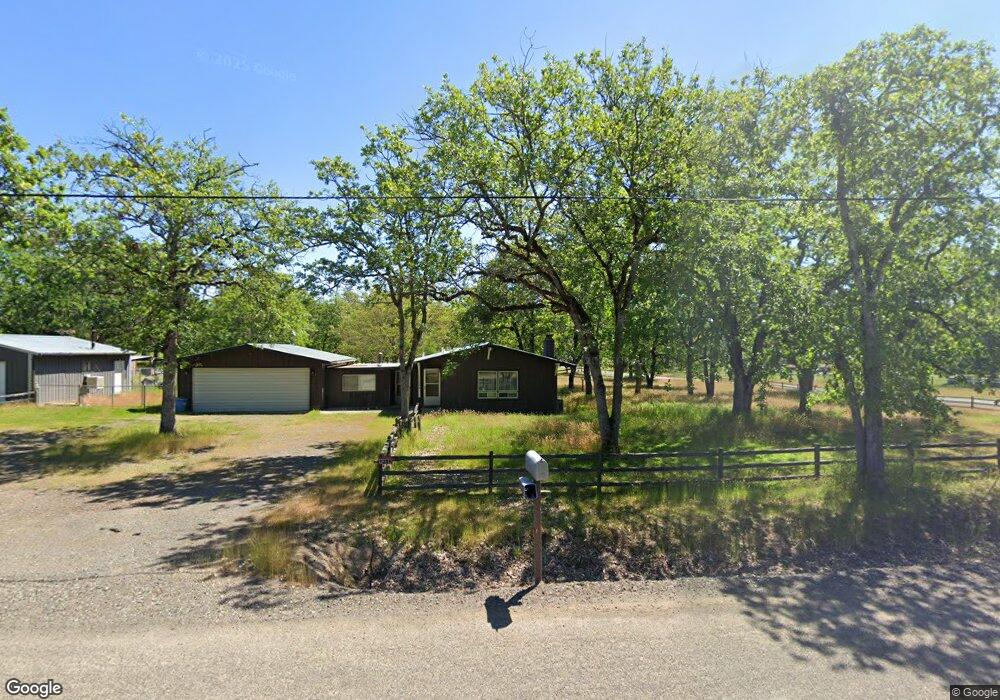
11284 Duggan Rd Central Point, OR 97502
Estimated Value: $446,498 - $533,000
3
Beds
1
Bath
1,569
Sq Ft
$306/Sq Ft
Est. Value
About This Home
This home is located at 11284 Duggan Rd, Central Point, OR 97502 and is currently estimated at $479,833, approximately $305 per square foot. 11284 Duggan Rd is a home located in Jackson County with nearby schools including Sams Valley Elementary School, Hanby Middle School, and Crater High School.
Ownership History
Date
Name
Owned For
Owner Type
Purchase Details
Closed on
Jun 16, 2025
Sold by
Valle Jorge
Bought by
Villanueva Jorge Natividad Va
Current Estimated Value
Home Financials for this Owner
Home Financials are based on the most recent Mortgage that was taken out on this home.
Original Mortgage
$372,250
Outstanding Balance
$370,304
Interest Rate
6.76%
Mortgage Type
New Conventional
Estimated Equity
$109,529
Purchase Details
Closed on
Mar 24, 2025
Sold by
Tw & Lj 401K Plan
Bought by
Valle Jorge
Create a Home Valuation Report for This Property
The Home Valuation Report is an in-depth analysis detailing your home's value as well as a comparison with similar homes in the area
Purchase History
We collect this data history from publicly available records. To have your information removed, we recommend requesting removal directly through your county’s website.
| Date | Buyer | Sale Price | Title Company |
|---|---|---|---|
| Villanueva Jorge Natividad Va | -- | First American Title | |
| Valle Jorge | -- | None Listed On Document |
Source: Public Records
Mortgage History
We collect this data history from publicly available records. To have your information removed, we recommend requesting removal directly through your county’s website.
| Date | Status | Borrower | Loan Amount |
|---|---|---|---|
| Open | Villanueva Jorge Natividad Va | $372,250 |
Source: Public Records
Tax History
| Year | Tax Paid | Tax Assessment Tax Assessment Total Assessment is a certain percentage of the fair market value that is determined by local assessors to be the total taxable value of land and additions on the property. | Land | Improvement |
|---|---|---|---|---|
| 2026 | $3,156 | $258,410 | -- | -- |
| 2025 | $3,074 | $250,890 | $113,330 | $137,560 |
| 2024 | $3,074 | $243,590 | $110,050 | $133,540 |
| 2023 | $2,974 | $236,500 | $106,850 | $129,650 |
| 2022 | $2,846 | $236,500 | $106,850 | $129,650 |
| 2021 | $2,765 | $229,620 | $103,740 | $125,880 |
| 2020 | $2,685 | $222,940 | $100,720 | $122,220 |
| 2019 | $2,623 | $210,150 | $94,930 | $115,220 |
| 2018 | $2,542 | $204,030 | $92,170 | $111,860 |
| 2017 | $2,482 | $204,030 | $92,170 | $111,860 |
| 2016 | $2,409 | $192,330 | $86,870 | $105,460 |
| 2015 | $2,321 | $192,330 | $86,870 | $105,460 |
| 2014 | $2,265 | $181,300 | $81,890 | $99,410 |
Source: Public Records
Map
Nearby Homes
- 10695 Killdee Ave
- 13290 Table Rock Rd
- 0 Duggan Rd Unit 220198974
- 377 Pelton Ln
- 13007 Perry Rd
- 8993 John Day Dr
- 8959 John Day Dr
- 2532 Holcomb Springs Rd
- 11322 Modoc Rd
- 12940 Highway 234
- 12950 Highway 234
- 0 Modoc Rd Unit 500
- 13327 Highway 234
- 0 Upper River Rd Unit 2300
- 4413 Merita Terrace
- 7505 Blackwell Rd
- 12214 Modoc Rd
- 12240 Modoc Rd Unit A
- 12240 Modoc Rd Unit B
- 12240 Modoc Rd Unit C
- 11340 Duggan Rd
- 3388 McMartin Rd
- 11211 Duggan Rd
- 11396 Duggan Rd
- 3381 McMartin Ln
- 3381 McMartin Rd
- 11339 Dennis Rd
- 11395 Dennis Rd
- 11161 Dennis Rd
- 11097 Dennis Rd
- 3298 McMartin Rd
- 3298 McMartin Rd
- 11110 Duggan Rd
- 11454 Duggan Rd
- 11340 Dennis Rd
- 11453 Dennis Rd
- 11396 Dennis Rd
- 8635 Oregon 234
- 3295 McMartin Ln
- 11000 Dennis Rd
Your Personal Tour Guide
Ask me questions while you tour the home.