11284 Heathrow Ave Spring Hill, FL 34609
Estimated Value: $243,000 - $252,000
2
Beds
2
Baths
1,280
Sq Ft
$192/Sq Ft
Est. Value
About This Home
This home is located at 11284 Heathrow Ave, Spring Hill, FL 34609 and is currently estimated at $246,285, approximately $192 per square foot. 11284 Heathrow Ave is a home located in Hernando County with nearby schools including Suncoast Elementary School, Powell Middle School, and Frank W. Springstead High School.
Ownership History
Date
Name
Owned For
Owner Type
Purchase Details
Closed on
Jul 27, 2007
Sold by
Fortunato Glen A
Bought by
Kidman Barbara W
Current Estimated Value
Home Financials for this Owner
Home Financials are based on the most recent Mortgage that was taken out on this home.
Original Mortgage
$124,000
Outstanding Balance
$102,086
Interest Rate
6.65%
Mortgage Type
Purchase Money Mortgage
Estimated Equity
$144,199
Purchase Details
Closed on
May 10, 2002
Sold by
Ryland Com Inc
Bought by
Fortunato Family Tr
Create a Home Valuation Report for This Property
The Home Valuation Report is an in-depth analysis detailing your home's value as well as a comparison with similar homes in the area
Home Values in the Area
Average Home Value in this Area
Purchase History
| Date | Buyer | Sale Price | Title Company |
|---|---|---|---|
| Kidman Barbara W | $155,000 | Attorney | |
| Fortunato Family Tr | $117,100 | -- |
Source: Public Records
Mortgage History
| Date | Status | Borrower | Loan Amount |
|---|---|---|---|
| Open | Kidman Barbara W | $124,000 |
Source: Public Records
Tax History Compared to Growth
Tax History
| Year | Tax Paid | Tax Assessment Tax Assessment Total Assessment is a certain percentage of the fair market value that is determined by local assessors to be the total taxable value of land and additions on the property. | Land | Improvement |
|---|---|---|---|---|
| 2024 | $1,361 | $96,782 | -- | -- |
| 2023 | $1,361 | $93,963 | $0 | $0 |
| 2022 | $1,335 | $91,226 | $0 | $0 |
| 2021 | $794 | $88,569 | $0 | $0 |
| 2020 | $1,224 | $87,346 | $0 | $0 |
| 2019 | $1,214 | $85,382 | $0 | $0 |
| 2018 | $670 | $83,790 | $0 | $0 |
| 2017 | $926 | $82,067 | $0 | $0 |
| 2016 | $892 | $80,379 | $0 | $0 |
| 2015 | $893 | $79,820 | $0 | $0 |
| 2014 | $873 | $79,187 | $0 | $0 |
Source: Public Records
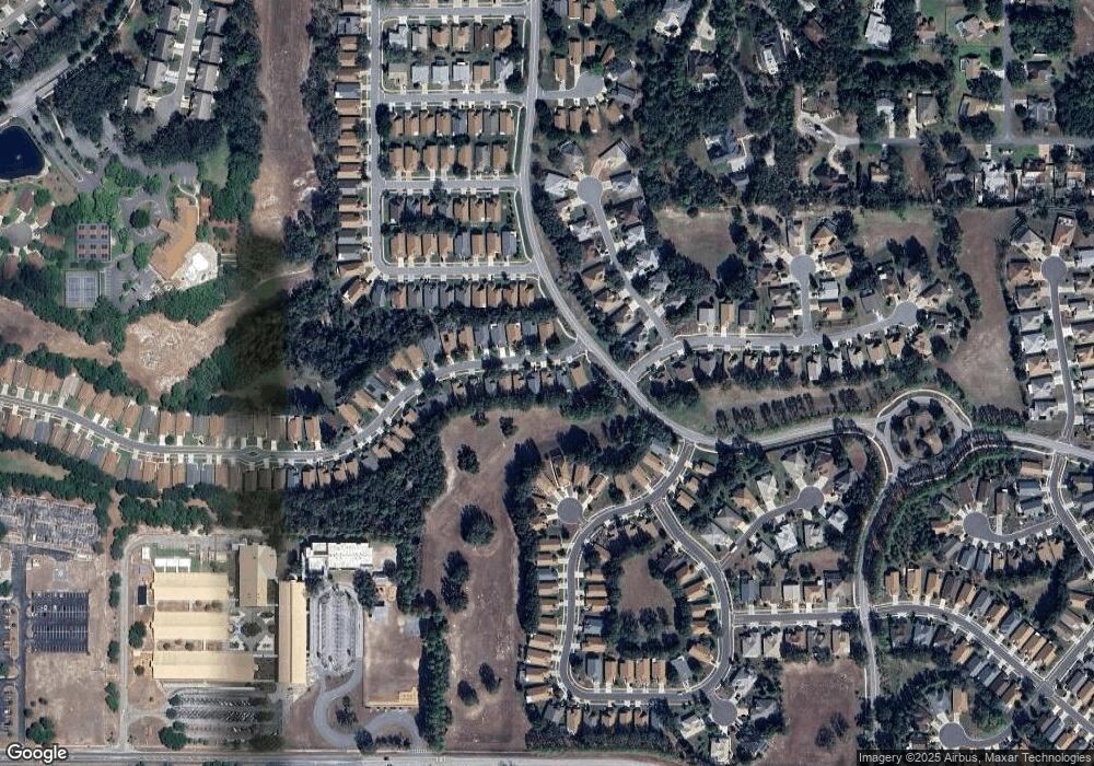
Map
Nearby Homes
- 232 Center Oak Cir
- 11330 Leeds Dr
- 114 Center Oak Cir
- 11218 Heathrow Ave
- 11389 Mcnally Dr
- 284 Quane Ave
- 11404 Inman Ct
- 11261 McRacken Dr
- 11185 Heathrow Ave
- 367 Quane Ave
- 371 Quane Ave
- 150 Gordham Ct
- 11158 Heathrow Ave
- 276 Rochester St
- 11750 Teapot Ct
- 11741 Teapot Ct
- 17314 County Line Rd
- 18240 County Line Rd
- 402 & 406 Candlestone Ct
- 401 & 405 Candlestone Ct
- 11280 Heathrow Ave
- 11290 Heathrow Ave
- 11276 Heathrow Ave
- 11298 Heathrow Ave
- 11272 Heathrow Ave
- 11287 Heathrow Ave
- 11279 Heathrow Ave
- 11268 Heathrow Ave
- 11275 Heathrow Ave
- 11271 Heathrow Ave
- 11264 Heathrow Ave
- 11267 Heathrow Ave
- 256 Kestrel Ct
- 11258 Heathrow Ave
- 275 Quane Ave
- 260 Kestrel Ct
- 11263 Heathrow Ave
- 279 Quane Ave
- 252 Kestrel Ct
- 315 Keltner Ct