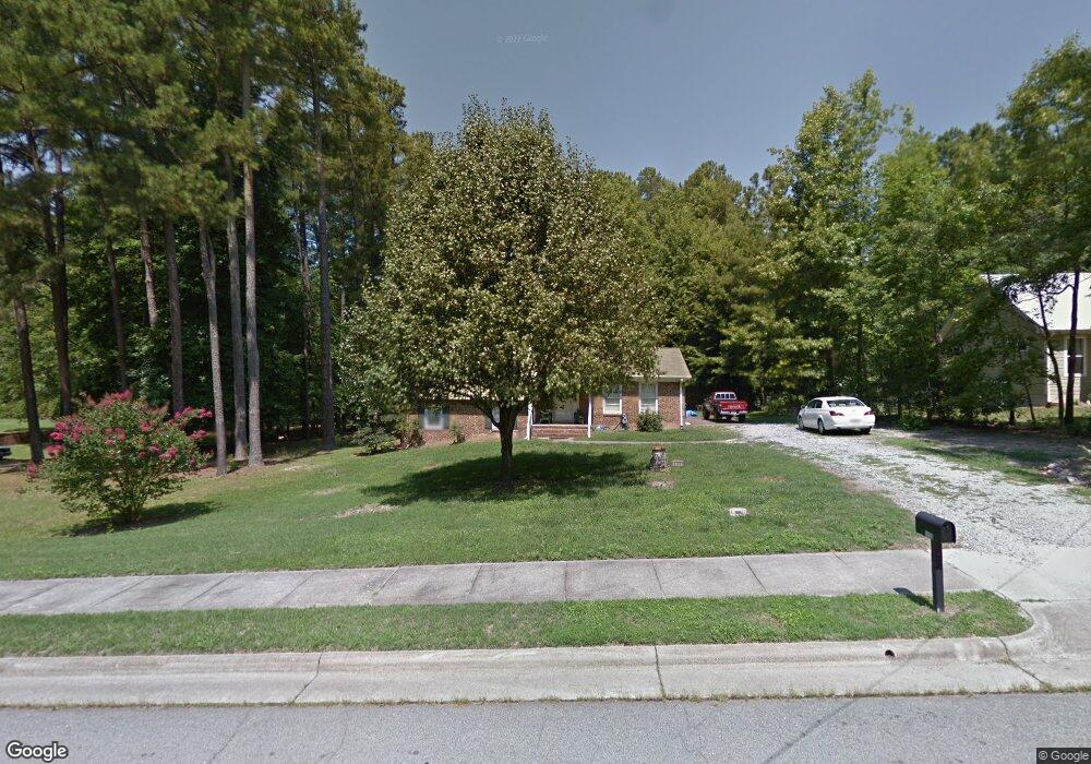
1129 Kimball Dr Durham, NC 27712
Croasdaile NeighborhoodEstimated Value: $394,000 - $452,361
4
Beds
3
Baths
1,877
Sq Ft
$223/Sq Ft
Est. Value
About This Home
This home is located at 1129 Kimball Dr, Durham, NC 27712 and is currently estimated at $419,090, approximately $223 per square foot. 1129 Kimball Dr is a home located in Durham County with nearby schools including Hillandale Elementary School, George L Carrington Middle, and Riverside High School.
Ownership History
Date
Name
Owned For
Owner Type
Purchase Details
Closed on
Oct 2, 2018
Sold by
Duncan Joyce F
Bought by
Cruz Jose G and Cruz Dora
Current Estimated Value
Home Financials for this Owner
Home Financials are based on the most recent Mortgage that was taken out on this home.
Original Mortgage
$219,414
Outstanding Balance
$189,756
Interest Rate
4.5%
Mortgage Type
New Conventional
Estimated Equity
$229,334
Purchase Details
Closed on
Oct 6, 1999
Sold by
Duncan Joyce E
Bought by
Duncan Joyce E and Joyce E Duncan Living Trust
Create a Home Valuation Report for This Property
The Home Valuation Report is an in-depth analysis detailing your home's value as well as a comparison with similar homes in the area
Home Values in the Area
Average Home Value in this Area
Purchase History
| Date | Buyer | Sale Price | Title Company |
|---|---|---|---|
| Cruz Jose G | $226,500 | None Available | |
| Duncan Joyce E | -- | -- |
Source: Public Records
Mortgage History
| Date | Status | Borrower | Loan Amount |
|---|---|---|---|
| Open | Cruz Jose G | $219,414 |
Source: Public Records
Tax History
| Year | Tax Paid | Tax Assessment Tax Assessment Total Assessment is a certain percentage of the fair market value that is determined by local assessors to be the total taxable value of land and additions on the property. | Land | Improvement |
|---|---|---|---|---|
| 2025 | $4,127 | $416,281 | $200,000 | $216,281 |
| 2024 | $3,150 | $225,817 | $48,090 | $177,727 |
| 2023 | $2,958 | $225,817 | $48,090 | $177,727 |
| 2022 | $2,890 | $225,817 | $48,090 | $177,727 |
| 2021 | $2,877 | $225,817 | $48,090 | $177,727 |
| 2020 | $2,809 | $225,817 | $48,090 | $177,727 |
| 2019 | $2,809 | $225,817 | $48,090 | $177,727 |
| 2018 | $2,189 | $161,355 | $36,067 | $125,288 |
| 2017 | $2,173 | $161,355 | $36,067 | $125,288 |
| 2016 | $2,099 | $161,355 | $36,067 | $125,288 |
| 2015 | $1,805 | $130,408 | $31,070 | $99,338 |
| 2014 | $1,805 | $130,408 | $31,070 | $99,338 |
Source: Public Records
Map
Nearby Homes
- 22 Meadowbrook Ave
- 1214 E Oak Dr
- 319 Fleming Dr
- 4116 Sunny Ct
- 1009 Crescent Moon Ct
- 5 Leathers Ct
- 208 Jefferson Dr
- 4408 Cheshire Ct
- 3710 Dairy Pond Place
- 26 Quail Ridge Rd
- 2104 Skipping Stone Dr
- 2116 Skipping Stone Dr
- 2205 Skipping Stone Dr
- 609 Blackwood Ct
- 1513 Cole Mill Rd
- 621 Blackwood Ct
- 524 Soapstone Dr
- 2708 Ferrand Dr
- 4331 Berini Dr
- 1217 Opal Ln
- 1133 Kimball Dr
- 1133 Kimball Dr Unit 5
- 1139 Kimball Dr
- 1121 Kimball Dr
- 1118 East Oak Dr
- 1120 East Oak Dr
- 1116 East Oak Dr
- 1122 E Oak Dr
- 1114 East Oak Dr
- 1122 East Oak Dr
- 1130 Kimball Dr
- 1114 E Oak Dr
- 1141 Kimball Dr
- 1119 Kimball Dr
- 1126 Kimball Dr
- 1134 Kimball Dr
- 1124 East Oak Dr
- 1112 East Oak Dr
- 1122 Kimball Dr
- 1124 E Oak Dr
Your Personal Tour Guide
Ask me questions while you tour the home.