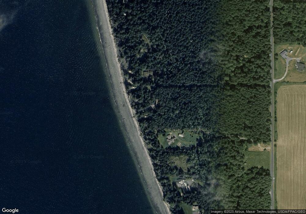
1129 Lopez Rd Lopez Island, WA 98261
Estimated Value: $1,024,000 - $1,813,000
1
Bed
2
Baths
1,788
Sq Ft
$758/Sq Ft
Est. Value
About This Home
This home is located at 1129 Lopez Rd, Lopez Island, WA 98261 and is currently estimated at $1,354,962, approximately $757 per square foot. 1129 Lopez Rd is a home located in San Juan County with nearby schools including Lopez Elementary School and Lopez Middle High School.
Ownership History
Date
Name
Owned For
Owner Type
Purchase Details
Closed on
Mar 14, 2020
Sold by
Greene Timothy E and Greene Nancy E
Bought by
Lowell Virginia L
Current Estimated Value
Purchase Details
Closed on
Sep 1, 2005
Sold by
Wilson Sally K
Bought by
Lowell Virginia L
Home Financials for this Owner
Home Financials are based on the most recent Mortgage that was taken out on this home.
Original Mortgage
$250,000
Interest Rate
5.3%
Mortgage Type
Fannie Mae Freddie Mac
Purchase Details
Closed on
Aug 31, 2005
Sold by
Hawley Nancy H
Bought by
Lowell Virginia
Home Financials for this Owner
Home Financials are based on the most recent Mortgage that was taken out on this home.
Original Mortgage
$250,000
Interest Rate
5.3%
Mortgage Type
Fannie Mae Freddie Mac
Purchase Details
Closed on
Apr 13, 2005
Sold by
Greene Timothy and Estate Of Dorothy G Greene
Bought by
Lowell Virginia L and Wilson Sally K
Create a Home Valuation Report for This Property
The Home Valuation Report is an in-depth analysis detailing your home's value as well as a comparison with similar homes in the area
Home Values in the Area
Average Home Value in this Area
Purchase History
| Date | Buyer | Sale Price | Title Company |
|---|---|---|---|
| Lowell Virginia L | $179,000 | San Juan Title | |
| Lowell Virginia L | $125,567 | San Juan Title Insurance | |
| Lowell Virginia | $125,567 | San Juan Title Insurance | |
| Lowell Virginia L | -- | None Available |
Source: Public Records
Mortgage History
| Date | Status | Borrower | Loan Amount |
|---|---|---|---|
| Previous Owner | Lowell Virginia L | $250,000 |
Source: Public Records
Tax History Compared to Growth
Tax History
| Year | Tax Paid | Tax Assessment Tax Assessment Total Assessment is a certain percentage of the fair market value that is determined by local assessors to be the total taxable value of land and additions on the property. | Land | Improvement |
|---|---|---|---|---|
| 2024 | $7,255 | $1,197,980 | $768,890 | $429,090 |
| 2023 | $7,255 | $1,222,540 | $640,740 | $581,800 |
| 2022 | $3,494 | $1,195,810 | $640,740 | $555,070 |
| 2021 | $3,369 | $872,790 | $427,160 | $445,630 |
| 2020 | $3,920 | $771,940 | $427,160 | $344,780 |
| 2019 | $4,630 | $717,010 | $427,170 | $289,840 |
| 2018 | $3,825 | $688,660 | $597,330 | $91,330 |
| 2017 | $3,593 | $456,870 | $341,280 | $115,590 |
| 2016 | $3,868 | $510,720 | $401,500 | $109,220 |
| 2015 | $3,868 | $515,690 | $401,500 | $114,190 |
| 2014 | $3,868 | $493,860 | $365,000 | $128,860 |
| 2012 | $3,868 | $508,660 | $365,000 | $143,660 |
Source: Public Records
Map
Nearby Homes
- 104 Estenson Rd
- 230 Gem Farm Ln
- 95 Weeks Rd
- 331 Nelson Ln
- 1898 Bayshore Rd
- 1794 Bayshore Rd
- 315 Mariner Dr
- 295 Rum Runner Rd
- 4 Rum Runner Rd
- 583 Rum Runner Rd
- 268 Rum Runner Rd
- 264 Shaw Park Rd
- 137 Forest Ln
- 65 Dolphin Ln
- 27 Dryad Place
- 1486 Center Rd
- 783 Ferry Rd
- 755 Ferry Rd
- 353 Davies Dr
- 2623 Pear Point Rd