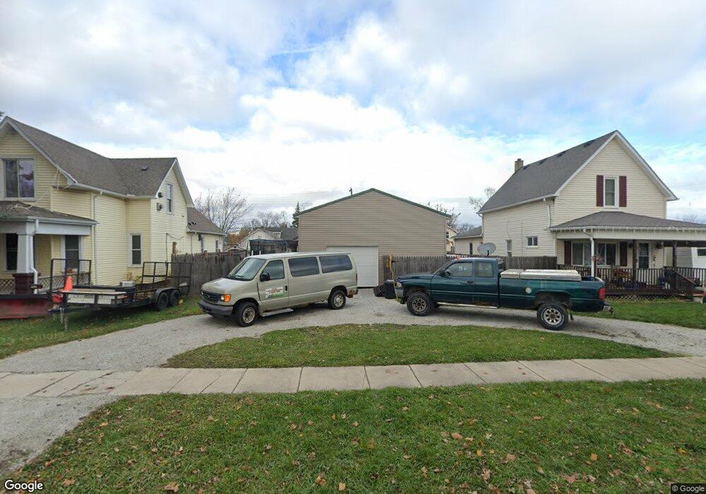
1129 Miller St Unit Bldg-Unit Port Huron, MI 48060
Estimated Value: $62,000
--
Bed
--
Bath
--
Sq Ft
6,970
Sq Ft Lot
About This Home
This home is located at 1129 Miller St Unit Bldg-Unit, Port Huron, MI 48060 and is currently priced at $62,000. 1129 Miller St Unit Bldg-Unit is a home located in St. Clair County with nearby schools including Woodrow Wilson Elementary School, Holland Woods Middle School, and Port Huron High School.
Ownership History
Date
Name
Owned For
Owner Type
Purchase Details
Closed on
Nov 25, 2019
Sold by
Saint Clair County Treasurer
Bought by
Harris Cynthia Marie
Current Estimated Value
Purchase Details
Closed on
Nov 22, 2019
Sold by
Saint Clair County Treasurer
Bought by
Harris Cynthia Marie
Purchase Details
Closed on
Aug 15, 2017
Sold by
Kaja Holdings 2 Llc
Bought by
Inoc Llc
Purchase Details
Closed on
Oct 23, 2013
Sold by
Deutsche Bank National Trust Company
Bought by
Kaja Holdings 2 Llc
Purchase Details
Closed on
Nov 29, 2012
Sold by
Shreeve Randall B and Shreeve Tena M
Bought by
Deutsche Bank National Trust Company
Purchase Details
Closed on
Dec 19, 2006
Sold by
Shreeve Randall B and Shreeve Tina M
Bought by
Shreeve Randall B and Shreeve Tena M
Home Financials for this Owner
Home Financials are based on the most recent Mortgage that was taken out on this home.
Original Mortgage
$90,000
Interest Rate
6.27%
Mortgage Type
New Conventional
Create a Home Valuation Report for This Property
The Home Valuation Report is an in-depth analysis detailing your home's value as well as a comparison with similar homes in the area
Home Values in the Area
Average Home Value in this Area
Purchase History
| Date | Buyer | Sale Price | Title Company |
|---|---|---|---|
| Harris Cynthia Marie | -- | None Listed On Document | |
| Harris Cynthia Marie | -- | None Listed On Document | |
| Inoc Llc | -- | -- | |
| Kaja Holdings 2 Llc | $8,150 | Accommodation | |
| Deutsche Bank National Trust Company | $95,420 | None Available | |
| Shreeve Randall B | -- | Transtar Title |
Source: Public Records
Mortgage History
| Date | Status | Borrower | Loan Amount |
|---|---|---|---|
| Previous Owner | Shreeve Randall B | $90,000 |
Source: Public Records
Tax History Compared to Growth
Tax History
| Year | Tax Paid | Tax Assessment Tax Assessment Total Assessment is a certain percentage of the fair market value that is determined by local assessors to be the total taxable value of land and additions on the property. | Land | Improvement |
|---|---|---|---|---|
| 2023 | -- | $0 | $0 | $0 |
| 2022 | $0 | $0 | $0 | $0 |
| 2021 | $94 | $2,200 | $0 | $0 |
| 2020 | $94 | $1,500 | $1,500 | $0 |
| 2019 | $320 | $2,200 | $0 | $0 |
| 2018 | $492 | $2,200 | $0 | $0 |
| 2017 | $2,294 | $2,200 | $0 | $0 |
| 2016 | $118 | $2,200 | $0 | $0 |
| 2015 | $436 | $3,700 | $3,700 | $0 |
| 2014 | $436 | $8,000 | $8,000 | $0 |
| 2013 | -- | $22,500 | $0 | $0 |
Source: Public Records
Map
Nearby Homes