Estimated Value: $547,000 - $645,296
4
Beds
3
Baths
3,937
Sq Ft
$151/Sq Ft
Est. Value
About This Home
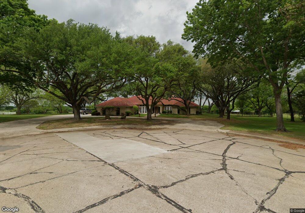
This home is located at 1129 Mockingbird Cir, Ennis, TX 75119 and is currently estimated at $596,148, approximately $151 per square foot. 1129 Mockingbird Cir is a home located in Ellis County with nearby schools including Austin Elementary School, Dorie Miller Int, and Ennis Junior High School.
Ownership History
Date
Name
Owned For
Owner Type
Purchase Details
Closed on
Oct 30, 2025
Sold by
Wartsbaugh Brian K
Bought by
Wartsbaugh Brian K and Wartsbaugh Jennifer N
Current Estimated Value
Purchase Details
Closed on
Oct 25, 2011
Sold by
Nix Richard A and Nix Sharon D
Bought by
Wartsbaugh Brian K
Home Financials for this Owner
Home Financials are based on the most recent Mortgage that was taken out on this home.
Original Mortgage
$220,000
Interest Rate
4.13%
Mortgage Type
Purchase Money Mortgage
Create a Home Valuation Report for This Property
The Home Valuation Report is an in-depth analysis detailing your home's value as well as a comparison with similar homes in the area
Home Values in the Area
Average Home Value in this Area
Purchase History
| Date | Buyer | Sale Price | Title Company |
|---|---|---|---|
| Wartsbaugh Brian K | -- | None Listed On Document | |
| Wartsbaugh Brian K | -- | -- |
Source: Public Records
Mortgage History
| Date | Status | Borrower | Loan Amount |
|---|---|---|---|
| Previous Owner | Wartsbaugh Brian K | $220,000 |
Source: Public Records
Tax History Compared to Growth
Tax History
| Year | Tax Paid | Tax Assessment Tax Assessment Total Assessment is a certain percentage of the fair market value that is determined by local assessors to be the total taxable value of land and additions on the property. | Land | Improvement |
|---|---|---|---|---|
| 2025 | $12,313 | $694,438 | -- | -- |
| 2024 | $12,313 | $631,307 | -- | -- |
| 2023 | $12,313 | $573,915 | $0 | $0 |
| 2022 | $12,487 | $521,741 | $0 | $0 |
| 2021 | $12,052 | $478,720 | $57,500 | $421,220 |
| 2020 | $11,406 | $443,240 | $55,000 | $388,240 |
| 2019 | $10,272 | $410,970 | $0 | $0 |
| 2018 | $8,898 | $376,870 | $42,500 | $334,370 |
| 2017 | $8,593 | $323,960 | $42,500 | $281,460 |
| 2016 | $8,008 | $301,880 | $42,500 | $259,380 |
| 2015 | $7,604 | $299,330 | $42,500 | $256,830 |
| 2014 | $7,604 | $297,940 | $0 | $0 |
Source: Public Records
Map
Nearby Homes
- 1207 Louise Ln
- 536 Lakeshore Dr
- 2800 Boyd St
- 2308 Louise Ln
- 2410 Linda Dr
- 507 Lakeshore Dr
- 1509 Lyndale Dr
- 805 Loy Ln
- 2402 Country Club Rd
- 1002 Hoylake Ct
- 1703 Carnoustie Dr
- 707 Oakmont Dr
- 1103 Sunset Dr
- 2810 Belmont Dr
- 2703 Sleepy Hollow Rd
- 1709 Carnoustie Dr
- 2503 Saint Andrews Dr
- 801 Woodcrest Dr
- 000 Sleepy Hollow Rd
- 717 Woodcrest Dr
- 1133 Mockingbird Cir
- 1125 Mockingbird Cir
- 1116 Mockingbird Cir
- 1121 Mockingbird Cir
- 1137 Mockingbird Cir
- 1112 Mockingbird Cir
- 2323 Park St
- 2209 Park St
- 1117 Mockingbird Cir
- 1108 Mockingbird Cir
- 2205 Park St
- 2201 Park St
- 1113 Mockingbird Cir
- 2327 Park St
- 1109 Mockingbird Cir
- 1105 Mockingbird Cir
- 1101 Mockingbird Cir
- 1202 Bluebonnet Hill Dr
- 1200 Bluebonnet Hill Dr
- 1204 Bluebonnet Hill Dr