Estimated Value: $278,050 - $320,000
3
Beds
2
Baths
1,395
Sq Ft
$209/Sq Ft
Est. Value
About This Home
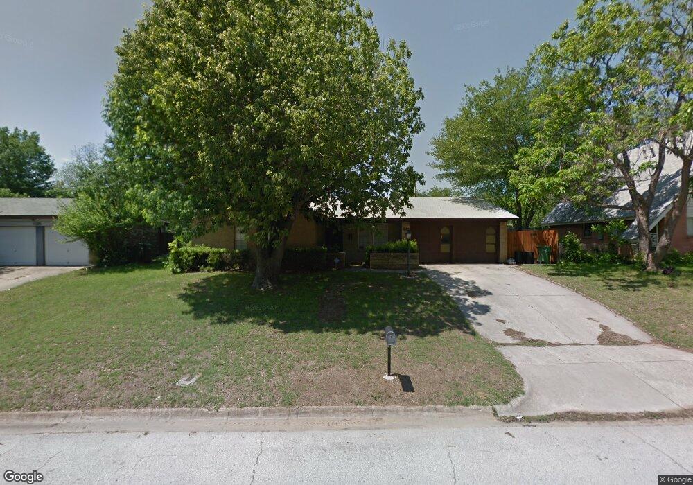
This home is located at 1129 Norwood Dr, Hurst, TX 76053 and is currently estimated at $291,763, approximately $209 per square foot. 1129 Norwood Dr is a home located in Tarrant County with nearby schools including Harrison Lane Elementary School, Hurst J High School, and L.D. Bell High School.
Ownership History
Date
Name
Owned For
Owner Type
Purchase Details
Closed on
Nov 29, 2018
Sold by
Wortman Jacquelyn and Thomas Brandon
Bought by
Stone Brooke L and Stone Zackery A
Current Estimated Value
Home Financials for this Owner
Home Financials are based on the most recent Mortgage that was taken out on this home.
Original Mortgage
$179,450
Outstanding Balance
$158,099
Interest Rate
4.8%
Mortgage Type
Purchase Money Mortgage
Estimated Equity
$133,664
Purchase Details
Closed on
Sep 16, 2010
Sold by
Minto Eric J and Portis Melisa J
Bought by
Minto Eric J and Portis Melisa J
Create a Home Valuation Report for This Property
The Home Valuation Report is an in-depth analysis detailing your home's value as well as a comparison with similar homes in the area
Home Values in the Area
Average Home Value in this Area
Purchase History
| Date | Buyer | Sale Price | Title Company |
|---|---|---|---|
| Stone Brooke L | -- | Wfg National Title | |
| Minto Eric J | -- | None Available |
Source: Public Records
Mortgage History
| Date | Status | Borrower | Loan Amount |
|---|---|---|---|
| Open | Stone Brooke L | $179,450 |
Source: Public Records
Tax History Compared to Growth
Tax History
| Year | Tax Paid | Tax Assessment Tax Assessment Total Assessment is a certain percentage of the fair market value that is determined by local assessors to be the total taxable value of land and additions on the property. | Land | Improvement |
|---|---|---|---|---|
| 2025 | $3,238 | $193,466 | $55,000 | $138,466 |
| 2024 | $3,238 | $230,317 | $55,000 | $175,317 |
| 2023 | $4,485 | $246,315 | $40,000 | $206,315 |
| 2022 | $4,685 | $217,776 | $40,000 | $177,776 |
| 2021 | $4,462 | $185,000 | $40,000 | $145,000 |
| 2020 | $4,451 | $185,000 | $40,000 | $145,000 |
| 2019 | $4,528 | $185,000 | $40,000 | $145,000 |
| 2018 | $4,014 | $164,008 | $19,000 | $145,008 |
| 2017 | $3,913 | $154,625 | $19,000 | $135,625 |
| 2016 | $3,682 | $145,492 | $19,000 | $126,492 |
| 2015 | $2,622 | $100,000 | $15,000 | $85,000 |
| 2014 | $2,622 | $100,000 | $15,000 | $85,000 |
Source: Public Records
Map
Nearby Homes
- 1136 Simpson Dr
- 905 Brown Trail
- 1220 Norwood Dr
- 1016 Keith Dr
- 802 Brown Trail
- 341 Hurst Dr
- 803 Glenda Dr
- 344 Bedford Ct E
- 409 Vicki Place
- 420 Bedford Ct W
- 116 Oakhurst Dr
- 127 W Cedar St
- 400 Joanna Dr
- 1337 Harrison Ln
- 1348 Norwood Dr
- 1352 Simpson Dr
- 1008 Russell Ln
- 849 Russell Ln
- 1208 Karla Dr
- 624 Harrison Ln
- 1133 Norwood Dr
- 1125 Norwood Dr
- 1124 Simpson Dr
- 1128 Simpson Dr
- 1137 Norwood Dr
- 1121 Norwood Dr
- 1128 Norwood Dr
- 1124 Norwood Dr
- 1120 Simpson Dr
- 1132 Norwood Dr
- 1132 Simpson Dr
- 1136 Norwood Dr
- 1141 Norwood Dr
- 1120 Norwood Dr
- 1117 Norwood Dr
- 1116 Simpson Dr
- 1140 Norwood Dr
- 1116 Norwood Dr
- 1113 Norwood Dr
- 1145 Norwood Dr