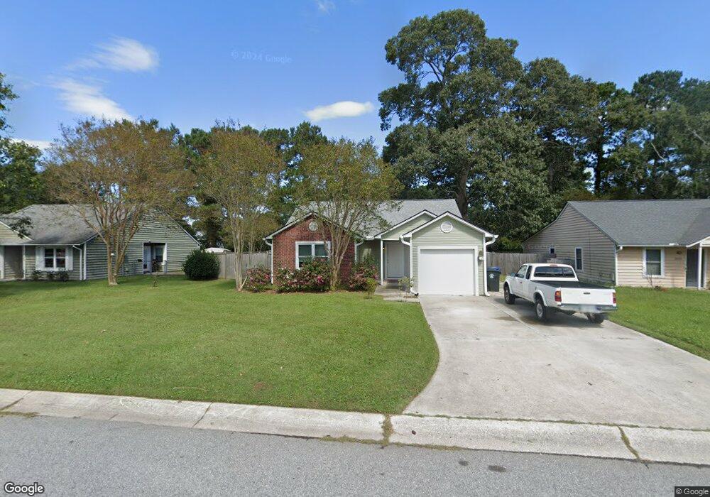
1129 Oakcrest Dr Charleston, SC 29412
James Island NeighborhoodEstimated Value: $499,000 - $546,000
3
Beds
2
Baths
1,500
Sq Ft
$343/Sq Ft
Est. Value
About This Home
This home is located at 1129 Oakcrest Dr, Charleston, SC 29412 and is currently estimated at $514,316, approximately $342 per square foot. 1129 Oakcrest Dr is a home located in Charleston County with nearby schools including James Island Elementary School, Camp Road Middle, and James Island Charter High School.
Ownership History
Date
Name
Owned For
Owner Type
Purchase Details
Closed on
Jun 10, 2009
Sold by
Champion Heidi L
Bought by
Champion Heidi L and Champion William A
Current Estimated Value
Home Financials for this Owner
Home Financials are based on the most recent Mortgage that was taken out on this home.
Original Mortgage
$189,255
Outstanding Balance
$122,763
Interest Rate
5.27%
Mortgage Type
FHA
Estimated Equity
$391,553
Purchase Details
Closed on
Jun 28, 2006
Sold by
Brunson Harriet Irene
Bought by
Champion Heidi L
Create a Home Valuation Report for This Property
The Home Valuation Report is an in-depth analysis detailing your home's value as well as a comparison with similar homes in the area
Home Values in the Area
Average Home Value in this Area
Purchase History
| Date | Buyer | Sale Price | Title Company |
|---|---|---|---|
| Champion Heidi L | -- | -- | |
| Champion Heidi L | $230,000 | None Available |
Source: Public Records
Mortgage History
| Date | Status | Borrower | Loan Amount |
|---|---|---|---|
| Open | Champion Heidi L | $189,255 |
Source: Public Records
Tax History Compared to Growth
Tax History
| Year | Tax Paid | Tax Assessment Tax Assessment Total Assessment is a certain percentage of the fair market value that is determined by local assessors to be the total taxable value of land and additions on the property. | Land | Improvement |
|---|---|---|---|---|
| 2024 | $1,244 | $8,870 | $0 | $0 |
| 2023 | $1,244 | $8,870 | $0 | $0 |
| 2022 | $1,138 | $8,870 | $0 | $0 |
| 2021 | $1,191 | $8,870 | $0 | $0 |
| 2020 | $1,233 | $8,870 | $0 | $0 |
| 2019 | $1,104 | $7,720 | $0 | $0 |
| 2017 | $1,067 | $7,720 | $0 | $0 |
| 2016 | $1,025 | $7,720 | $0 | $0 |
| 2015 | $1,057 | $7,720 | $0 | $0 |
| 2014 | $973 | $0 | $0 | $0 |
| 2011 | -- | $0 | $0 | $0 |
Source: Public Records
Map
Nearby Homes
- 1135 Bellwood Rd
- 1404 Ivy Isle Dr
- 1153 Pauline Ave
- 1232 Silverleaf Cir
- 1530 Fort Johnson Rd Unit 1E
- 1530 Fort Johnson Rd Unit 1L
- 1152 Bradford Ave
- 1030 Pauline Ave
- 1540 Fort Johnson Rd
- 1014 Arborwood Dr
- 1206 Folly Rd
- 1129 Landsdowne Dr
- 1418 Kentwood Cir
- 1508 Swamp Fox Ln
- 1341 Witter St
- 1453 Camp Rd
- 1512 Seacroft Rd
- 1335 Camp Rd
- 1402 Camp Rd Unit 5E
- 1402 Camp Rd Unit 6E
- 1133 Oakcrest Dr
- 1125 Oakcrest Dr
- 1549 Kentwood Cir
- 1137 Oakcrest Dr
- 1121 Oakcrest Dr
- 1545 Kentwood Cir
- 1128 Bellwood Rd
- 1553 Kentwood Cir
- 1128 Oakcrest Dr
- 1141 Oakcrest Dr
- 1117 Oakcrest Dr
- 1132 Oakcrest Dr
- 1557 Kentwood Cir
- 1132 Bellwood Rd
- 1136 Oakcrest Dr
- 1539 Kentwood Cir
- 1145 Oakcrest Dr
- 1113 Oakcrest Dr
- 1114 Oakcrest Dr
- 1561 Kentwood Cir