1129 the By Way McDonough, GA 30252
Estimated Value: $363,975 - $419,000
4
Beds
3
Baths
2,333
Sq Ft
$169/Sq Ft
Est. Value
About This Home
This home is located at 1129 the By Way, McDonough, GA 30252 and is currently estimated at $393,994, approximately $168 per square foot. 1129 the By Way is a home located in Henry County with nearby schools including Timber Ridge Elementary School, Union Grove Middle School, and Union Grove High School.
Ownership History
Date
Name
Owned For
Owner Type
Purchase Details
Closed on
May 25, 2017
Sold by
Anderson Michael Scott
Bought by
Todd Shirlane Carter
Current Estimated Value
Home Financials for this Owner
Home Financials are based on the most recent Mortgage that was taken out on this home.
Original Mortgage
$191,442
Outstanding Balance
$157,656
Interest Rate
3.75%
Mortgage Type
FHA
Estimated Equity
$236,338
Purchase Details
Closed on
Dec 15, 2006
Sold by
Manor Hms Inc
Bought by
Anderson Michael S and Anderson Adhley M
Home Financials for this Owner
Home Financials are based on the most recent Mortgage that was taken out on this home.
Original Mortgage
$177,762
Interest Rate
6.19%
Mortgage Type
VA
Create a Home Valuation Report for This Property
The Home Valuation Report is an in-depth analysis detailing your home's value as well as a comparison with similar homes in the area
Home Values in the Area
Average Home Value in this Area
Purchase History
| Date | Buyer | Sale Price | Title Company |
|---|---|---|---|
| Todd Shirlane Carter | $195,000 | -- | |
| Anderson Michael S | $172,000 | -- |
Source: Public Records
Mortgage History
| Date | Status | Borrower | Loan Amount |
|---|---|---|---|
| Open | Todd Shirlane Carter | $191,442 | |
| Previous Owner | Anderson Michael S | $177,762 |
Source: Public Records
Tax History Compared to Growth
Tax History
| Year | Tax Paid | Tax Assessment Tax Assessment Total Assessment is a certain percentage of the fair market value that is determined by local assessors to be the total taxable value of land and additions on the property. | Land | Improvement |
|---|---|---|---|---|
| 2025 | $5,962 | $148,624 | $18,000 | $130,624 |
| 2024 | $5,962 | $146,920 | $18,000 | $128,920 |
| 2023 | $5,661 | $145,320 | $18,000 | $127,320 |
| 2022 | $4,940 | $126,520 | $12,000 | $114,520 |
| 2021 | $4,033 | $102,880 | $12,000 | $90,880 |
| 2020 | $3,831 | $97,600 | $10,000 | $87,600 |
| 2019 | $3,498 | $88,920 | $10,000 | $78,920 |
| 2018 | $3,079 | $78,000 | $9,906 | $68,094 |
| 2016 | $2,703 | $68,200 | $10,000 | $58,200 |
| 2015 | $2,784 | $68,200 | $10,000 | $58,200 |
| 2014 | $2,546 | $61,440 | $8,000 | $53,440 |
Source: Public Records
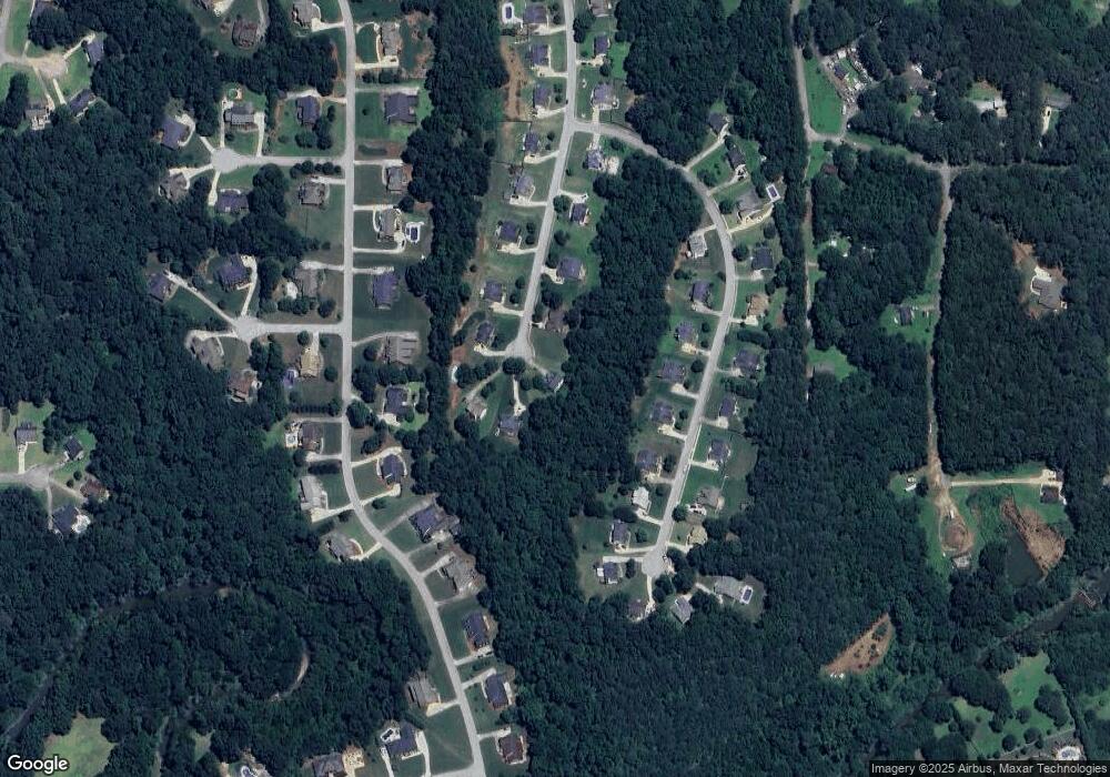
Map
Nearby Homes
- 1108 the By Way
- 1305 Chester Place
- 1129 River Green Ct
- 1100 River Green Ct Unit 2
- 210 Riveredge Way
- 1523 Bent River Cir
- 129 Limbaugh Valley Dr
- 501 Owens Springs Ln
- 1102 Sequoia Trail
- 180 Watts Lake Rd
- 505 Lupin Cir
- 504 Lupin Cir
- 700 Miami Ct Unit 3
- 604 Clearwater Ct Unit 6
- 2086 Fontainbleau Dr
- 2202 Escalade Ct
- 200 Magnolia Ct
- 1425 Shingle Way
- 318 Dogwood Trace
- 2121 Lacroix Way
- 1127 the By Way
- 1131 the By Way
- 1128 the By Way
- 1130 the By Way
- 1314 Idlewood Ct
- 1125 the By Way
- 1316 Idlewood Ct
- 1126 the By Way
- 1312 Idlewood Ct
- 1318 Idlewood Ct
- 1320 Idlewood Ct
- 135 Robson Trail
- 1310 Idlewood Ct
- 133 Robson Trail
- 1123 the By Way
- 1322 Idlewood Ct
- 137 Robson Trail
- 1315 Idlewood Ct
- 131 Robson Trail
- 1317 Idlewood Ct