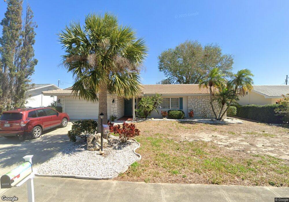
11293 142nd Way Largo, FL 33774
Collins Estates NeighborhoodEstimated Value: $430,605 - $481,000
2
Beds
2
Baths
1,503
Sq Ft
$307/Sq Ft
Est. Value
About This Home
This home is located at 11293 142nd Way, Largo, FL 33774 and is currently estimated at $461,401, approximately $306 per square foot. 11293 142nd Way is a home located in Pinellas County with nearby schools including Oakhurst Elementary School, Seminole Middle School, and Seminole High School.
Ownership History
Date
Name
Owned For
Owner Type
Purchase Details
Closed on
Apr 10, 2015
Sold by
Mam Managing Llc
Bought by
Ferritto Romanino J and Ferritto Candice R
Current Estimated Value
Home Financials for this Owner
Home Financials are based on the most recent Mortgage that was taken out on this home.
Original Mortgage
$166,500
Outstanding Balance
$126,279
Interest Rate
3.89%
Mortgage Type
New Conventional
Estimated Equity
$335,122
Purchase Details
Closed on
Jul 26, 2011
Sold by
Derosa Melissa Price
Bought by
Mam Managing Llc
Create a Home Valuation Report for This Property
The Home Valuation Report is an in-depth analysis detailing your home's value as well as a comparison with similar homes in the area
Home Values in the Area
Average Home Value in this Area
Purchase History
We collect this data history from publicly available records. To have your information removed, we recommend requesting removal directly through your county’s website.
| Date | Buyer | Sale Price | Title Company |
|---|---|---|---|
| Ferritto Romanino J | $185,000 | Fidelity Natl Title Of Fl In | |
| Mam Managing Llc | -- | Attorney | |
| Mam Managing Llc | -- | Attorney | |
| Mam Managing Llc | -- | Attorney | |
| Mam Managing Llc | -- | Attorney | |
| Mam Managing Llc | $135,000 | Attorney |
Source: Public Records
Mortgage History
We collect this data history from publicly available records. To have your information removed, we recommend requesting removal directly through your county’s website.
| Date | Status | Borrower | Loan Amount |
|---|---|---|---|
| Open | Ferritto Romanino J | $166,500 |
Source: Public Records
Tax History
| Year | Tax Paid | Tax Assessment Tax Assessment Total Assessment is a certain percentage of the fair market value that is determined by local assessors to be the total taxable value of land and additions on the property. | Land | Improvement |
|---|---|---|---|---|
| 2025 | $6,037 | $345,053 | $165,172 | $179,881 |
| 2024 | $5,519 | $357,549 | $194,918 | $162,631 |
| 2023 | $5,519 | $319,043 | $181,449 | $137,594 |
| 2022 | $5,026 | $309,432 | $191,167 | $118,265 |
| 2021 | $4,681 | $256,912 | $0 | $0 |
| 2020 | $4,275 | $220,551 | $0 | $0 |
| 2019 | $4,070 | $206,589 | $99,542 | $107,047 |
| 2018 | $3,718 | $190,385 | $0 | $0 |
| 2017 | $3,525 | $176,379 | $0 | $0 |
| 2016 | $3,604 | $177,728 | $0 | $0 |
| 2015 | $2,984 | $169,238 | $0 | $0 |
| 2014 | -- | $132,586 | $0 | $0 |
Source: Public Records
Map
Nearby Homes
- 11320 Currie Ln
- 14321 113th Ave N
- 14339 110th Terrace
- 11235 Apache Place
- 14095 Chamberlain Ave
- 14067 Joel Ct
- 14263 Sunshine Ct
- 14482 110th Terrace
- 14557 Apache Ave
- 11485 Oakhurst Rd Unit 204
- 11485 Oakhurst Rd Unit 200-321
- 11485 Oakhurst Rd Unit 200-207
- 11485 Oakhurst Rd Unit 200-307
- 11485 Oakhurst Rd Unit 200-208
- 11485 Oakhurst Rd Unit 319
- 11485 Oakhurst Rd Unit 312
- 11485 Oakhurst Rd Unit 200-306
- 11485 Oakhurst Rd Unit 211
- 11485 Oakhurst Rd Unit 1100-1
- 11485 Oakhurst Rd Unit 301
- 11290 142nd St
- 11300 142nd St
- 11260 142nd St
- 11263 142nd Way
- 11303 142nd Way
- 11230 142nd St
- 11320 142nd St
- 11291 142nd St
- 11261 142nd St
- 11233 142nd Way
- 11323 142nd Way
- 11231 142nd St
- 11200 142nd St
- 11340 142nd St
- 11203 142nd Way
- 11292 142nd Way N
- 11343 142nd Way
- 11262 142nd Way
- 11343 142nd Way N
- 11201 142nd St
Your Personal Tour Guide
Ask me questions while you tour the home.