11294 Highway Pp Poplar Bluff, MO 63901
Estimated Value: $248,000 - $495,000
--
Bed
--
Bath
2,959
Sq Ft
$123/Sq Ft
Est. Value
About This Home
This home is located at 11294 Highway Pp, Poplar Bluff, MO 63901 and is currently estimated at $363,684, approximately $122 per square foot. 11294 Highway Pp is a home with nearby schools including Poplar Bluff Fifth & Sixth Grade Center, Oak Grove Elementary School, and Poplar Bluff Junior High School.
Ownership History
Date
Name
Owned For
Owner Type
Purchase Details
Closed on
Jun 11, 2024
Sold by
Gilton Shelly
Bought by
Gilton Ray
Current Estimated Value
Purchase Details
Closed on
Apr 19, 2021
Sold by
Anderson Sherrie Ann and Anderson Roger
Bought by
Anderson Sherrie Ann and Anderson Roger
Purchase Details
Closed on
Feb 16, 2021
Sold by
Anderson Sherrie Ann and Anderson Roger
Bought by
Anderson Sherrie Ann and Anderson Roger
Home Financials for this Owner
Home Financials are based on the most recent Mortgage that was taken out on this home.
Original Mortgage
$167,000
Interest Rate
2.2%
Mortgage Type
Future Advance Clause Open End Mortgage
Create a Home Valuation Report for This Property
The Home Valuation Report is an in-depth analysis detailing your home's value as well as a comparison with similar homes in the area
Home Values in the Area
Average Home Value in this Area
Purchase History
| Date | Buyer | Sale Price | Title Company |
|---|---|---|---|
| Gilton Ray | -- | None Listed On Document | |
| Anderson Sherrie Ann | -- | None Listed On Document | |
| Anderson Sherrie Ann | -- | None Available |
Source: Public Records
Mortgage History
| Date | Status | Borrower | Loan Amount |
|---|---|---|---|
| Previous Owner | Anderson Sherrie Ann | $167,000 |
Source: Public Records
Tax History Compared to Growth
Tax History
| Year | Tax Paid | Tax Assessment Tax Assessment Total Assessment is a certain percentage of the fair market value that is determined by local assessors to be the total taxable value of land and additions on the property. | Land | Improvement |
|---|---|---|---|---|
| 2024 | $1,817 | $40,780 | $0 | $0 |
| 2023 | $1,816 | $40,780 | $0 | $0 |
| 2022 | $1,757 | $39,530 | $0 | $0 |
| 2021 | $1,669 | $37,540 | $0 | $0 |
| 2020 | $1,603 | $35,510 | $0 | $0 |
| 2019 | $1,602 | $35,510 | $0 | $0 |
| 2018 | $1,602 | $35,510 | $0 | $0 |
| 2017 | -- | $35,510 | $0 | $0 |
| 2016 | -- | $35,510 | $0 | $0 |
| 2015 | -- | $35,510 | $0 | $0 |
| 2014 | -- | $33,150 | $0 | $0 |
| 2012 | $1,053 | $27,650 | $0 | $0 |
Source: Public Records
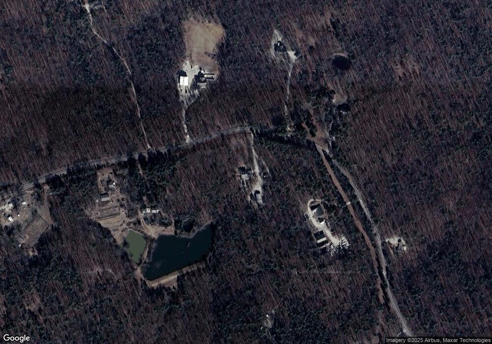
Map
Nearby Homes
- 10576 Highway Pp
- 9711 Highway Pp
- 139 County Road 425
- 607 County Road 423
- 0 9 6 Ac + - Off Tt Hwy Unit MIS25050752
- 10374 Highway 60 W
- Tbd County Road 426
- 0 County Road 421
- 858 County Road 420
- 125 Lanee Ln
- 109 Lanee Ln
- TBD County Road 426
- 0 Brownwood Trails #18 Unit MIS25061746
- 14108 Lynn Rd
- 4 Woodland Heights W
- 9 Woodland Heights W
- 14 Woodland Heights W
- 6 Woodland Heights W
- 5 Woodland Heights W
- 3 Woodland Heights W
- 11371 Highway Pp
- 11251 Highway Pp
- 11203 Highway Pp
- 11136 Highway Pp
- 11422 Highway Pp
- 10848 State Highway Pp
- 11034 Highway Pp
- 10966 Highway Pp
- 11741 Highway Pp
- 11845 Highway Pp
- 10683 Highway Pp
- 11857 Highway Pp
- 10584 Highway Pp
- 10528 Highway Pp
- 10546 Highway Pp
- 161 Magnolia Ln
- 10564 Highway Pp
- 133 Magnolia Ln
- 10533 Highway Pp
- 10533 Highway Pp