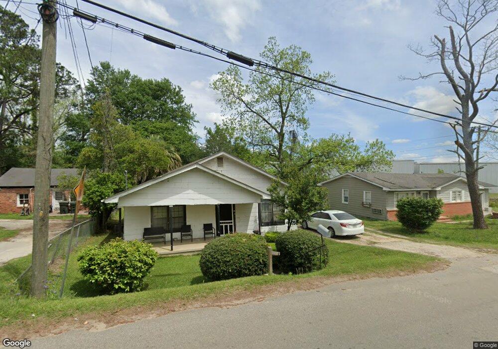
113 9th Ave NE Moultrie, GA 31768
Estimated Value: $60,502 - $172,000
--
Bed
1
Bath
1,286
Sq Ft
$81/Sq Ft
Est. Value
About This Home
This home is located at 113 9th Ave NE, Moultrie, GA 31768 and is currently estimated at $103,876, approximately $80 per square foot. 113 9th Ave NE is a home located in Colquitt County with nearby schools including Stringfellow Elementary School, C.A. Gray Junior High School, and Willie J. Williams Middle School.
Ownership History
Date
Name
Owned For
Owner Type
Purchase Details
Closed on
Feb 5, 2016
Sold by
Costin Gregory P
Bought by
Packer Properties Llc
Current Estimated Value
Home Financials for this Owner
Home Financials are based on the most recent Mortgage that was taken out on this home.
Original Mortgage
$217,308
Interest Rate
3.98%
Purchase Details
Closed on
Aug 4, 2006
Sold by
Breland Debra A
Bought by
Costin Gregory P
Create a Home Valuation Report for This Property
The Home Valuation Report is an in-depth analysis detailing your home's value as well as a comparison with similar homes in the area
Home Values in the Area
Average Home Value in this Area
Purchase History
| Date | Buyer | Sale Price | Title Company |
|---|---|---|---|
| Packer Properties Llc | $43,000 | -- | |
| Costin Gregory P | $17,000 | -- | |
| Breland Debra A | -- | -- |
Source: Public Records
Mortgage History
| Date | Status | Borrower | Loan Amount |
|---|---|---|---|
| Closed | Packer Properties Llc | $217,308 |
Source: Public Records
Tax History Compared to Growth
Tax History
| Year | Tax Paid | Tax Assessment Tax Assessment Total Assessment is a certain percentage of the fair market value that is determined by local assessors to be the total taxable value of land and additions on the property. | Land | Improvement |
|---|---|---|---|---|
| 2024 | $301 | $12,102 | $870 | $11,232 |
| 2023 | $365 | $13,846 | $870 | $12,976 |
| 2022 | $447 | $13,365 | $870 | $12,495 |
| 2021 | $405 | $11,956 | $870 | $11,086 |
| 2020 | $412 | $11,956 | $870 | $11,086 |
| 2019 | $464 | $11,956 | $870 | $11,086 |
| 2018 | $477 | $11,956 | $870 | $11,086 |
| 2017 | $459 | $11,956 | $870 | $11,086 |
| 2016 | $336 | $8,416 | $870 | $7,546 |
| 2015 | $337 | $8,416 | $870 | $7,546 |
| 2014 | $345 | $8,416 | $870 | $7,546 |
| 2013 | -- | $8,416 | $870 | $7,546 |
Source: Public Records
Map
Nearby Homes
- 615 1st St NW
- 503 2nd St NW
- 316 5th Ave NW
- 521 5th Ave NW
- 1208 Maple St
- 619 E Central Ave
- 407 1st Ave SE
- 0 S U Highway 319 N
- 614 2nd Ave NW
- 408 9th St NW
- 610 1st Ave NW
- 310 1st Ave SW
- 417 9th St NW
- 722 Martin Luther King jr Dr
- 00 1st Ave SW
- 118 5th St SW
- 618 2nd Ave SW
- 221 6th St SW
- 515 5th Ave SE Unit 4
- 521 5th Ave SE Unit 4
- 109 9th Ave NE
- 117 9th Ave NE
- 105 9th Ave NE
- 114 9th Ave NE
- 112 9th Ave NE
- 827 1st St NE
- 723 2nd St NE
- 721 2nd St NE
- 826 N Main St
- 717 2nd St NE
- 1st Street NE
- 15.61 AC Old Doe Run Rd Unit 217
- 11 8th Ave NE
- 832 1st St NW
- 813 N Main St
- 801 N Main St
- 828 1st St NW
- 421 8th Ave NE
- 820 1st St NW
- 1050 N Main St