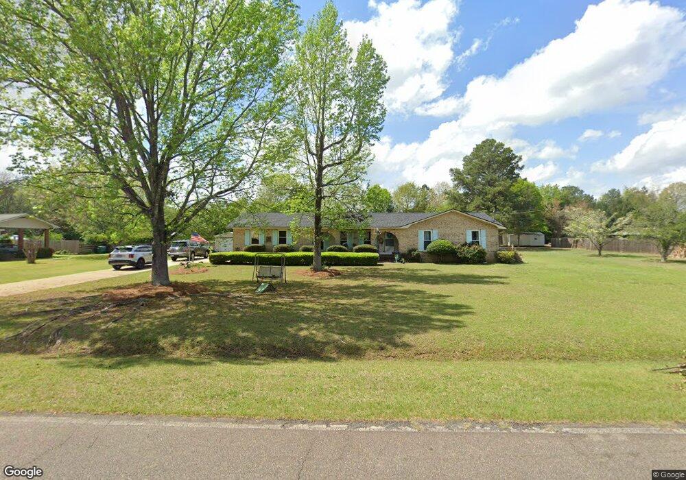
113 Air Park Dr Warner Robins, GA 31088
Estimated Value: $237,544 - $262,000
3
Beds
2
Baths
1,626
Sq Ft
$152/Sq Ft
Est. Value
About This Home
This home is located at 113 Air Park Dr, Warner Robins, GA 31088 and is currently estimated at $247,636, approximately $152 per square foot. 113 Air Park Dr is a home located in Houston County with nearby schools including David A. Perdue Primary School, David A. Perdue Elementary School, and Feagin Mill Middle School.
Ownership History
Date
Name
Owned For
Owner Type
Purchase Details
Closed on
Mar 19, 2010
Sold by
Cline Thomas Edward
Bought by
Cline Thomas Edward and Cline Trust
Current Estimated Value
Purchase Details
Closed on
Dec 22, 1999
Sold by
Cline Thomas Edward
Bought by
Cline Thomas Edward
Purchase Details
Closed on
Oct 13, 1989
Sold by
Wagy Donald R and Wagy Judy L
Bought by
Cline Thomas Edward
Purchase Details
Closed on
Apr 4, 1979
Sold by
Employee Transfer Corp
Bought by
Wagy Donald R and Wagy Judy L
Purchase Details
Closed on
Mar 23, 1979
Sold by
O'Neill Arthur P
Bought by
Employee Transfer Corp
Purchase Details
Closed on
Apr 25, 1974
Sold by
Gottschalk & Gottschalk Inc
Bought by
O'Neill Arthur P
Purchase Details
Closed on
Feb 19, 1972
Bought by
Gottschalk & Gottschalk Inc
Create a Home Valuation Report for This Property
The Home Valuation Report is an in-depth analysis detailing your home's value as well as a comparison with similar homes in the area
Home Values in the Area
Average Home Value in this Area
Purchase History
| Date | Buyer | Sale Price | Title Company |
|---|---|---|---|
| Cline Thomas Edward | -- | None Available | |
| Cline Thomas Edward | -- | -- | |
| Cline Thomas Edward | $41,000 | -- | |
| Wagy Donald R | $47,900 | -- | |
| Employee Transfer Corp | -- | -- | |
| O'Neill Arthur P | $36,000 | -- | |
| Gottschalk & Gottschalk Inc | -- | -- |
Source: Public Records
Tax History Compared to Growth
Tax History
| Year | Tax Paid | Tax Assessment Tax Assessment Total Assessment is a certain percentage of the fair market value that is determined by local assessors to be the total taxable value of land and additions on the property. | Land | Improvement |
|---|---|---|---|---|
| 2024 | $1,857 | $77,640 | $10,000 | $67,640 |
| 2023 | $1,520 | $62,880 | $10,000 | $52,880 |
| 2022 | $1,425 | $58,960 | $10,000 | $48,960 |
| 2021 | $1,150 | $47,320 | $9,000 | $38,320 |
| 2020 | $1,051 | $43,040 | $9,000 | $34,040 |
| 2019 | $1,051 | $43,040 | $9,000 | $34,040 |
| 2018 | $1,051 | $43,040 | $9,000 | $34,040 |
| 2017 | $1,052 | $43,040 | $9,000 | $34,040 |
| 2016 | $1,064 | $43,480 | $9,000 | $34,480 |
| 2015 | $1,066 | $43,480 | $9,000 | $34,480 |
| 2014 | -- | $43,480 | $9,000 | $34,480 |
| 2013 | -- | $43,480 | $9,000 | $34,480 |
Source: Public Records
Map
Nearby Homes
- 207 Courthouse Ln
- 110 Mayberry Ln
- 108 Mayberry Ln
- 104 Mayberry Ln
- 102 Mayberry Ln
- 102 Mayberry Ln Unit LOT 1 MB
- 1148 Thornblade Dr
- 112 Ballyhara
- 404 Minter Dr
- 401 Bella Notte Cir Unit 5D
- 401 Bella Notte Cir
- 414 Bella Notte Cir
- 414 Bella Notte Cir Unit 23A
- 416 Bella Notte Cir
- 416 Bella Notte Cir Unit 22A
- 418 Bella Notte Cir Unit 21A
- 409 Bella Notte Cir Unit 1D
- 409 Bella Notte Cir
- 500 Bella Notte Cir Unit 16A
- 500 Bella Notte Cir
- 111 Air Park Dr
- 115 Air Park Dr
- 109 Air Park Dr
- 114 Air Park Dr
- 117 Air Park Dr
- 110 Air Park Dr
- 112 Air Park Dr
- 108 Air Park Dr
- 102 Buchanan Dr
- 107 Air Park Dr
- 100 Buchanan Dr
- 116 Air Park Dr
- 907 State Route 96
- 106 Buchanan Dr
- 221 Courthouse Ln
- 118 Air Park Dr
- 223 Courthouse Ln
- 219 Courthouse Ln
- 101 Buchanan Dr
- 217 Courthouse Ln