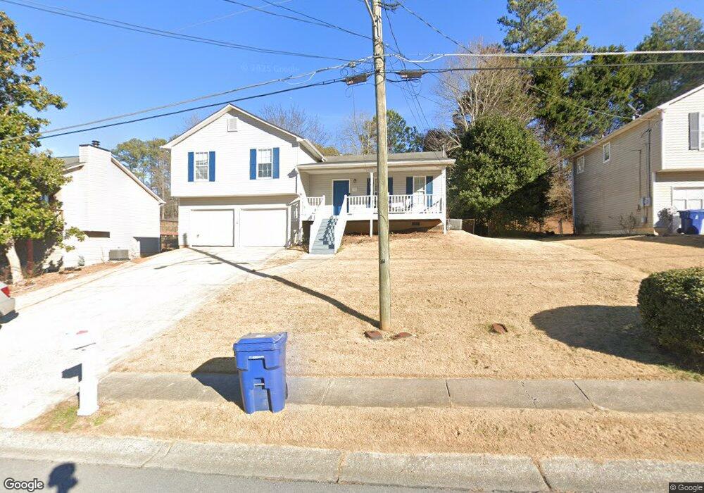
113 Ashford Dr Dallas, GA 30132
Estimated Value: $266,883 - $280,000
4
Beds
3
Baths
1,200
Sq Ft
$227/Sq Ft
Est. Value
About This Home
This home is located at 113 Ashford Dr, Dallas, GA 30132 and is currently estimated at $272,721, approximately $227 per square foot. 113 Ashford Dr is a home located in Paulding County with nearby schools including Lillian C. Poole Elementary School, Herschel Jones Middle School, and Paulding County High School.
Ownership History
Date
Name
Owned For
Owner Type
Purchase Details
Closed on
Nov 10, 2015
Sold by
Holdings Ivy Lane Llc
Bought by
Ivester Douglas W
Current Estimated Value
Purchase Details
Closed on
Sep 2, 2014
Sold by
Enlow Jan Michael
Bought by
Ivy Lane Holdings Llc
Purchase Details
Closed on
Mar 3, 2011
Sold by
Enlow Kristy L
Bought by
Enlow Jan M
Purchase Details
Closed on
Nov 21, 2001
Sold by
Kollenberg Melissa A
Bought by
Enlow Jan
Home Financials for this Owner
Home Financials are based on the most recent Mortgage that was taken out on this home.
Original Mortgage
$100,200
Interest Rate
6.86%
Mortgage Type
FHA
Create a Home Valuation Report for This Property
The Home Valuation Report is an in-depth analysis detailing your home's value as well as a comparison with similar homes in the area
Home Values in the Area
Average Home Value in this Area
Purchase History
| Date | Buyer | Sale Price | Title Company |
|---|---|---|---|
| Ivester Douglas W | -- | -- | |
| Ivy Lane Holdings Llc | -- | -- | |
| Enlow Jan M | -- | -- | |
| Enlow Jan | $101,400 | -- |
Source: Public Records
Mortgage History
| Date | Status | Borrower | Loan Amount |
|---|---|---|---|
| Previous Owner | Enlow Jan | $100,200 |
Source: Public Records
Tax History Compared to Growth
Tax History
| Year | Tax Paid | Tax Assessment Tax Assessment Total Assessment is a certain percentage of the fair market value that is determined by local assessors to be the total taxable value of land and additions on the property. | Land | Improvement |
|---|---|---|---|---|
| 2024 | $3,032 | $97,172 | $12,000 | $85,172 |
| 2023 | $3,048 | $100,788 | $12,000 | $88,788 |
| 2022 | $2,230 | $85,556 | $12,000 | $73,556 |
| 2021 | $1,783 | $61,360 | $8,000 | $53,360 |
| 2020 | $1,750 | $51,672 | $8,000 | $43,672 |
| 2019 | $1,674 | $48,804 | $8,000 | $40,804 |
| 2018 | $1,405 | $46,644 | $8,000 | $38,644 |
| 2017 | $1,347 | $38,796 | $8,000 | $30,796 |
| 2016 | $1,231 | $35,772 | $8,000 | $27,772 |
| 2015 | $674 | $21,900 | $8,000 | $13,900 |
| 2014 | $806 | $25,544 | $9,600 | $15,944 |
| 2013 | -- | $13,720 | $8,000 | $5,720 |
Source: Public Records
Map
Nearby Homes
- 107 Salem Place
- 1139 W Memorial Dr
- 1160 W Memorial Dr
- 60 Westside Cir
- 0 Cole Lake Rd Unit 7651259
- 0 Cole Lake Rd Unit 10607141
- 298 Buchanan Hwy
- 380 Buchanan Hwy
- 1119 W Memorial Dr
- +/-1.0 Cole Lake Rd
- 361 West Ave
- 451 Lone Bear Path
- 219 Briarwood Dr
- 136 Rosewood Dr
- 119 Mcbee St
- 216 Briarwood Dr Unit 3
- 109 Westwood Dr
- 217 Victory Dr
- 47 Whitley Ct
- Spruce Plan at Meadow Pines - Bungalow Series
- 115 Ashford Dr
- 111 Ashford Dr
- 106 Brentwood Ct
- 0 Ashford Dr Unit 8807488
- 0 Ashford Dr Unit 8695306
- 0 Ashford Dr Unit 7637648
- 0 Ashford Dr Unit 7583498
- 117 Ashford Dr
- 114 Ashford Dr
- 100 Brentwood Ct
- 112 Ashford Dr
- 112 Brentwood Ct Unit 112
- 116 Ashford Dr
- 0 Brentwood Ct Unit 3272566
- 0 Brentwood Ct Unit 8217099
- 110 Ashford Dr
- 118 Ashford Dr
- 119 Ashford Dr
- 113 Auburn Park
- 111 Brentwood Ct