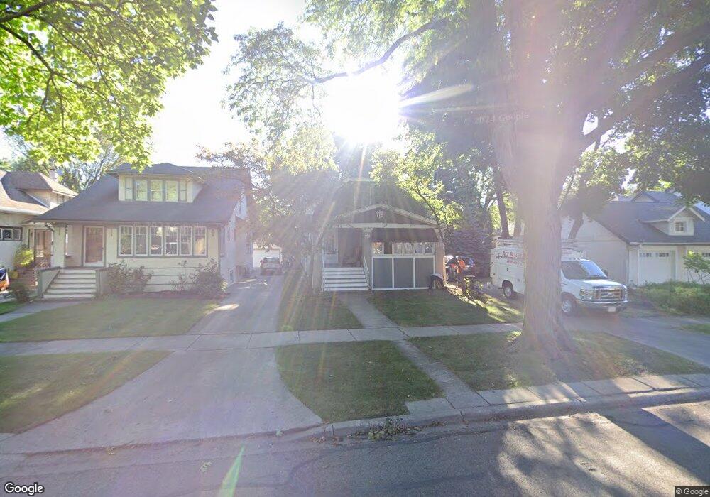
113 Ashland Ave River Forest, IL 60305
Estimated Value: $597,000 - $691,000
3
Beds
1
Bath
1,872
Sq Ft
$348/Sq Ft
Est. Value
About This Home
This home is located at 113 Ashland Ave, River Forest, IL 60305 and is currently estimated at $651,914, approximately $348 per square foot. 113 Ashland Ave is a home located in Cook County with nearby schools including Lincoln Elementary School, Roosevelt Middle School, and Oak Park and River Forest High School.
Ownership History
Date
Name
Owned For
Owner Type
Purchase Details
Closed on
Apr 30, 2021
Sold by
Cepak Thomas A and Cepak Kimberly A
Bought by
Cepak Kimberly A and Cepak Thomas A
Current Estimated Value
Purchase Details
Closed on
Jun 21, 1994
Sold by
Distel Mary
Bought by
Cepak Thomas A and Cepak Kimberly A
Home Financials for this Owner
Home Financials are based on the most recent Mortgage that was taken out on this home.
Original Mortgage
$144,000
Interest Rate
8.66%
Purchase Details
Closed on
Jun 14, 1993
Sold by
Distel John W and Distel Mary J
Bought by
Distel John W and Distel Mary J
Create a Home Valuation Report for This Property
The Home Valuation Report is an in-depth analysis detailing your home's value as well as a comparison with similar homes in the area
Home Values in the Area
Average Home Value in this Area
Purchase History
| Date | Buyer | Sale Price | Title Company |
|---|---|---|---|
| Cepak Kimberly A | -- | None Available | |
| Cepak Thomas A | $160,000 | -- | |
| Distel John W | -- | -- |
Source: Public Records
Mortgage History
| Date | Status | Borrower | Loan Amount |
|---|---|---|---|
| Closed | Cepak Thomas A | $144,000 |
Source: Public Records
Tax History Compared to Growth
Tax History
| Year | Tax Paid | Tax Assessment Tax Assessment Total Assessment is a certain percentage of the fair market value that is determined by local assessors to be the total taxable value of land and additions on the property. | Land | Improvement |
|---|---|---|---|---|
| 2024 | $13,054 | $51,000 | $8,041 | $42,959 |
| 2023 | $12,781 | $51,000 | $8,041 | $42,959 |
| 2022 | $12,781 | $43,000 | $6,919 | $36,081 |
| 2021 | $12,337 | $42,999 | $6,919 | $36,080 |
| 2020 | $12,123 | $42,999 | $6,919 | $36,080 |
| 2019 | $12,919 | $45,046 | $6,358 | $38,688 |
| 2018 | $12,229 | $45,046 | $6,358 | $38,688 |
| 2017 | $12,203 | $45,046 | $6,358 | $38,688 |
| 2016 | $10,053 | $33,746 | $5,236 | $28,510 |
| 2015 | $9,836 | $33,746 | $5,236 | $28,510 |
| 2014 | $9,170 | $36,079 | $5,236 | $30,843 |
| 2013 | $10,521 | $39,917 | $5,236 | $34,681 |
Source: Public Records
Map
Nearby Homes
- 133 Ashland Ave
- 213 Ashland Ave
- 310 Lathrop Ave Unit P52
- 314 Lathrop Ave Unit 502
- 314 Lathrop Ave Unit 604
- 314 Lathrop Ave Unit 507
- 7449 Washington St Unit 207
- 7421 Washington St
- 37 Forest Ave
- 7415 Dixon St
- 443 Ferdinand Ave
- 407 Ashland Ave Unit 3G
- 410 Ashland Ave Unit 1A
- 300 Circle Ave Unit 4C
- 414 Franklin Ave Unit 3A
- 500 Beloit Ave Unit A2
- 7952 Madison St Unit 2E
- 315 Marengo Ave Unit 2H
- 7757 Van Buren St Unit 2512
- 424 Park Ave Unit 206