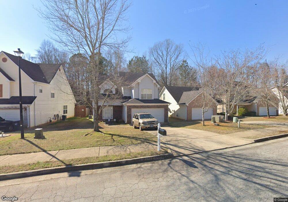
113 Avonwood Cir Locust Grove, GA 30248
Estimated Value: $264,000 - $276,000
3
Beds
3
Baths
1,916
Sq Ft
$141/Sq Ft
Est. Value
About This Home
This home is located at 113 Avonwood Cir, Locust Grove, GA 30248 and is currently estimated at $270,112, approximately $140 per square foot. 113 Avonwood Cir is a home located in Henry County with nearby schools including Locust Grove Elementary School, Locust Grove Middle School, and Locust Grove High School.
Ownership History
Date
Name
Owned For
Owner Type
Purchase Details
Closed on
Mar 20, 2009
Sold by
Colonial Bank
Bought by
Campbell Shante
Current Estimated Value
Home Financials for this Owner
Home Financials are based on the most recent Mortgage that was taken out on this home.
Original Mortgage
$101,624
Outstanding Balance
$64,516
Interest Rate
5.1%
Mortgage Type
FHA
Estimated Equity
$205,596
Create a Home Valuation Report for This Property
The Home Valuation Report is an in-depth analysis detailing your home's value as well as a comparison with similar homes in the area
Home Values in the Area
Average Home Value in this Area
Purchase History
| Date | Buyer | Sale Price | Title Company |
|---|---|---|---|
| Campbell Shante | $103,500 | -- |
Source: Public Records
Mortgage History
| Date | Status | Borrower | Loan Amount |
|---|---|---|---|
| Open | Campbell Shante | $101,624 |
Source: Public Records
Tax History Compared to Growth
Tax History
| Year | Tax Paid | Tax Assessment Tax Assessment Total Assessment is a certain percentage of the fair market value that is determined by local assessors to be the total taxable value of land and additions on the property. | Land | Improvement |
|---|---|---|---|---|
| 2025 | $2,631 | $97,480 | $16,000 | $81,480 |
| 2024 | $2,631 | $115,240 | $16,000 | $99,240 |
| 2023 | $2,648 | $112,880 | $16,000 | $96,880 |
| 2022 | $2,442 | $82,360 | $16,000 | $66,360 |
| 2021 | $2,114 | $68,360 | $16,000 | $52,360 |
| 2020 | $2,020 | $64,400 | $13,000 | $51,400 |
| 2019 | $1,813 | $54,960 | $12,000 | $42,960 |
| 2018 | $1,712 | $52,480 | $9,200 | $43,280 |
| 2016 | $1,484 | $46,320 | $8,000 | $38,320 |
| 2015 | $1,405 | $43,120 | $8,000 | $35,120 |
| 2014 | $1,126 | $35,680 | $8,000 | $27,680 |
Source: Public Records
Map
Nearby Homes
- 198 Aster Ave
- 501 Vervain Dr
- 194 Aster Ave
- 380 Higgins Rd
- 190 Aster Ave
- 191 Aster Ave
- 501 Kirkland Dr
- 505 Vervain Dr
- 608 Lobelia Dr
- 186 Aster Ave
- 505 Kirkland Dr
- 269 Baumgard Way
- 188 Sophie Cir
- 182 Aster Ave
- 178 Aster Ave
- 150 Aster Ave
- Cali Plan at Cedar Ridge - Locust Grove Station
- Belfort Plan at Cedar Ridge - Locust Grove Station
- Galen Plan at Cedar Ridge - Locust Grove Station
- Hayden Plan at Cedar Ridge - Locust Grove Station
- 109 Avonwood Cir
- 117 Avonwood Cir
- 121 Avonwood Cir
- 0 Avonwood Cir Unit 3182720
- 0 Avonwood Cir Unit 8680554
- 0 Avonwood Cir Unit 8680552
- 0 Avonwood Cir Unit 8680542
- 0 Avonwood Cir Unit 8680537
- 0 Avonwood Cir Unit 8680538
- 201 Sableshire Way
- 125 Avonwood Cir
- 101 Avonwood Cir
- 200 Sableshire Way Unit 731
- 200 Sableshire Way
- 129 Avonwood Cir
- 205 Sableshire Way
- 204 Sableshire Way Unit 732
- 204 Sableshire Way
- 301 Nutwood Trace
- 209 Sableshire Way