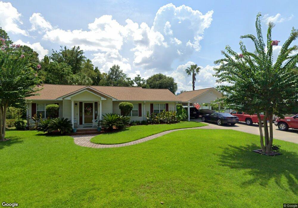
113 Bacon St Nahunta, GA 31553
Estimated Value: $189,321 - $277,000
2
Beds
3
Baths
1,743
Sq Ft
$138/Sq Ft
Est. Value
About This Home
This home is located at 113 Bacon St, Nahunta, GA 31553 and is currently estimated at $239,830, approximately $137 per square foot. 113 Bacon St is a home located in Brantley County with nearby schools including Nahunta Primary School, Nahunta Elementary School, and Brantley County Middle School.
Ownership History
Date
Name
Owned For
Owner Type
Purchase Details
Closed on
Nov 9, 2018
Sold by
Rowell Anthony Mark
Bought by
Wood Thomas Leroy
Current Estimated Value
Home Financials for this Owner
Home Financials are based on the most recent Mortgage that was taken out on this home.
Original Mortgage
$154,433
Outstanding Balance
$133,547
Interest Rate
4.9%
Estimated Equity
$106,283
Create a Home Valuation Report for This Property
The Home Valuation Report is an in-depth analysis detailing your home's value as well as a comparison with similar homes in the area
Purchase History
| Date | Buyer | Sale Price | Title Company |
|---|---|---|---|
| Wood Thomas Leroy | $149,500 | -- |
Source: Public Records
Mortgage History
| Date | Status | Borrower | Loan Amount |
|---|---|---|---|
| Open | Wood Thomas Leroy | $154,433 |
Source: Public Records
Tax History
| Year | Tax Paid | Tax Assessment Tax Assessment Total Assessment is a certain percentage of the fair market value that is determined by local assessors to be the total taxable value of land and additions on the property. | Land | Improvement |
|---|---|---|---|---|
| 2025 | $2,307 | $71,390 | $1,672 | $69,718 |
| 2024 | $2,267 | $60,431 | $2,000 | $58,431 |
| 2023 | $2,294 | $60,431 | $2,000 | $58,431 |
| 2022 | $2,294 | $60,431 | $2,000 | $58,431 |
| 2021 | $2,161 | $44,685 | $2,000 | $42,685 |
| 2020 | $2,175 | $44,685 | $2,000 | $42,685 |
| 2019 | $2,149 | $44,805 | $2,000 | $42,805 |
| 2018 | $2,136 | $44,805 | $2,000 | $42,805 |
| 2017 | $2,136 | $44,805 | $2,000 | $42,805 |
| 2016 | $2,022 | $44,805 | $2,000 | $42,805 |
| 2015 | -- | $44,805 | $2,000 | $42,805 |
Source: Public Records
Map
Nearby Homes
- 440 Brantley St
- 20.55 ACRES Highway 82
- 109 Rainge St
- 154 Avalon St
- 92 Ervin St
- 584 Knox St
- 387 Burton St
- 828 Knox St
- 00 Robin Ln
- 0 Robin Ln
- 4561 Buffalo Creek Dr
- 1473 Chesser Ln
- 4432 Pembers Rd
- 4452 Pembers Rd
- 537 Seward Trail
- 7126 U S 301
- 3362 Seed Orchard Rd
- 193 Blackberry Rd
- 14375 U S 301
- 0 Woodrow Ln
- 120 Broome St
- 112 Bacon St
- 14225 Highway 301 N
- 1249 Broome St
- 235 Bryan St
- 168 Satilla Ave
- 1231 Broome St
- 110 Broome St
- 301 Hwy 301 N
- 108 Bryan St
- 271 Bryan St
- 0 Florida Ave (And Hwy 301) Unit LOT 89 10269687
- 0 Florida Ave (And Hwy 301) Unit 1645582
- 126 Brantley St
- 109 Bryan St
- 124 Brantley St
- Lot 26 Firefly Ln
- Lot 25 Firefly Ln
- Lot 24 Firefly Ln
- 0 S Hwy 301 Unit 1638799
Your Personal Tour Guide
Ask me questions while you tour the home.