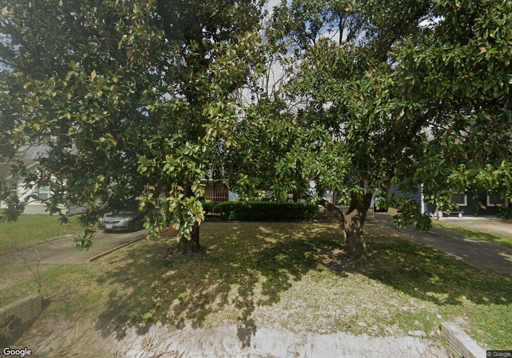
113 Ben Dr Houston, TX 77022
Northside-Northline NeighborhoodEstimated Value: $203,688 - $314,000
2
Beds
1
Bath
1,533
Sq Ft
$166/Sq Ft
Est. Value
About This Home
This home is located at 113 Ben Dr, Houston, TX 77022 and is currently estimated at $254,422, approximately $165 per square foot. 113 Ben Dr is a home located in Harris County with nearby schools including Burbank Elementary School, Burbank Middle School, and Sam Houston Math, Science & Technology Center.
Ownership History
Date
Name
Owned For
Owner Type
Purchase Details
Closed on
Feb 20, 2006
Sold by
Mcgowan Michael G
Bought by
Mcgowan Michael G and Murphy Catherine A
Current Estimated Value
Purchase Details
Closed on
Mar 3, 1999
Sold by
Mcgowan Ralph Edward
Bought by
Mcgowan Michael Gary
Create a Home Valuation Report for This Property
The Home Valuation Report is an in-depth analysis detailing your home's value as well as a comparison with similar homes in the area
Home Values in the Area
Average Home Value in this Area
Purchase History
| Date | Buyer | Sale Price | Title Company |
|---|---|---|---|
| Mcgowan Michael G | -- | None Available | |
| Mcgowan Michael Gary | -- | -- |
Source: Public Records
Tax History
| Year | Tax Paid | Tax Assessment Tax Assessment Total Assessment is a certain percentage of the fair market value that is determined by local assessors to be the total taxable value of land and additions on the property. | Land | Improvement |
|---|---|---|---|---|
| 2025 | $2,650 | $201,284 | $67,358 | $133,926 |
| 2024 | $2,650 | $201,284 | $67,358 | $133,926 |
| 2023 | $2,650 | $183,322 | $67,358 | $115,964 |
| 2022 | $2,633 | $140,584 | $48,754 | $91,830 |
| 2021 | $2,533 | $127,152 | $48,754 | $78,398 |
| 2020 | $2,393 | $108,888 | $48,754 | $60,134 |
| 2019 | $2,273 | $90,259 | $31,321 | $58,938 |
| 2018 | $306 | $81,666 | $33,679 | $47,987 |
| 2017 | $2,065 | $81,666 | $33,679 | $47,987 |
| 2016 | $2,012 | $79,565 | $33,679 | $45,886 |
| 2015 | $403 | $79,565 | $33,679 | $45,886 |
| 2014 | $403 | $79,565 | $33,679 | $45,886 |
Source: Public Records
Map
Nearby Homes
- 9201 Fulton St
- 161 Luther St
- 253 De Boll St
- 267 De Boll St
- 202 Burbank St
- 0 Veenstra St
- 9625 Fulton St
- 9713 Clark Rd
- 61 Trenwood Ln
- 9711 Marydel St
- 91 Burbank St
- 108 Luetta St
- 56 Trenwood Ln
- 219 Heaney Dr
- 56 Wellford St
- 9902 Clark Rd Unit D
- 9902 Clark Rd Unit I
- 9902 Clark Rd Unit G
- 8715 Bauman Rd Unit 6
- 9909 Dipping Woods St
Your Personal Tour Guide
Ask me questions while you tour the home.